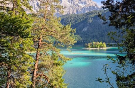
Koritnik mountain is part of a beautiful triangle view that I was grown with. The triangle I am mentioning is Pashtrik, Koritnik, and Gjallica. Koritnik mountain is located on the border between Kosovo and Albania, and it is surrounded by the branches of the White Drin river. The slopes of the mountain meadows are mostly covered with forests. The Koritnik mountain because of its high fields contains a population of 60 chamois. Koritnik falls within the Korab-Koritnik Nature Park, forming the European Green Belt. The highest peak of this mountain is Maja e Pikëllimës with its altitude of 2’393 m/alt.
How to get there
There are several points where you can hike to this mountain. The most frequent one is from the village of Rapçë, Dragash. The distance from Prizren to Rapçë is 35 km. You take the road from Prizren to Dragash, and after around 30 km, you turn right. When you reach the village, you take left and go up ahead for around 1 km. If you have 4-wheel drive, you can go further, but if not, you can park the car there, and start hiking.
About the Koritnik hike
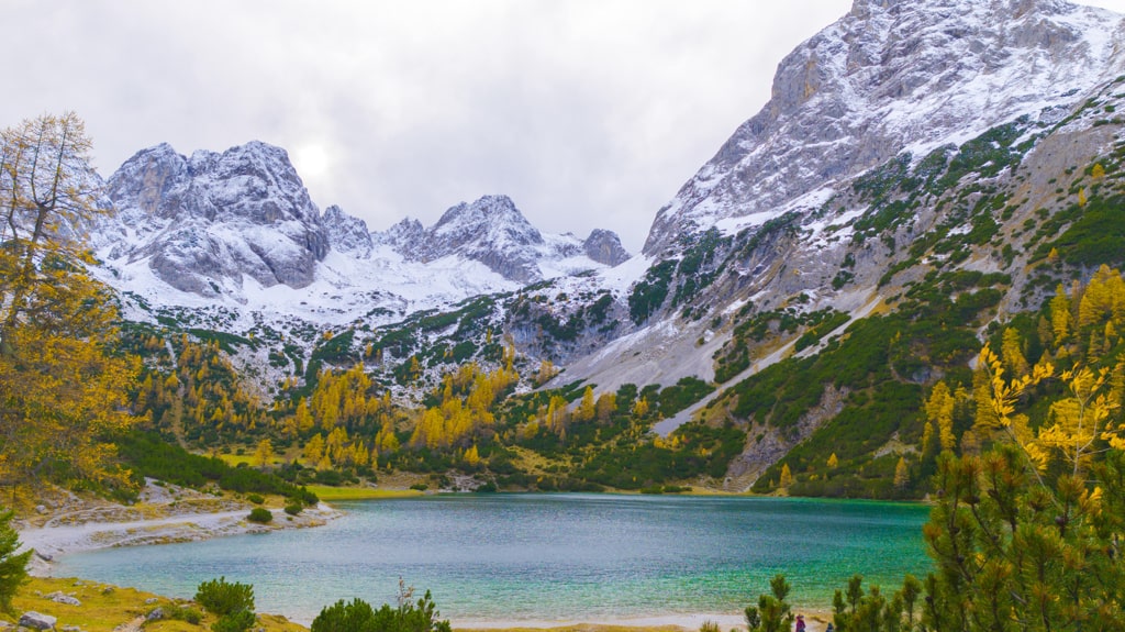
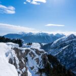
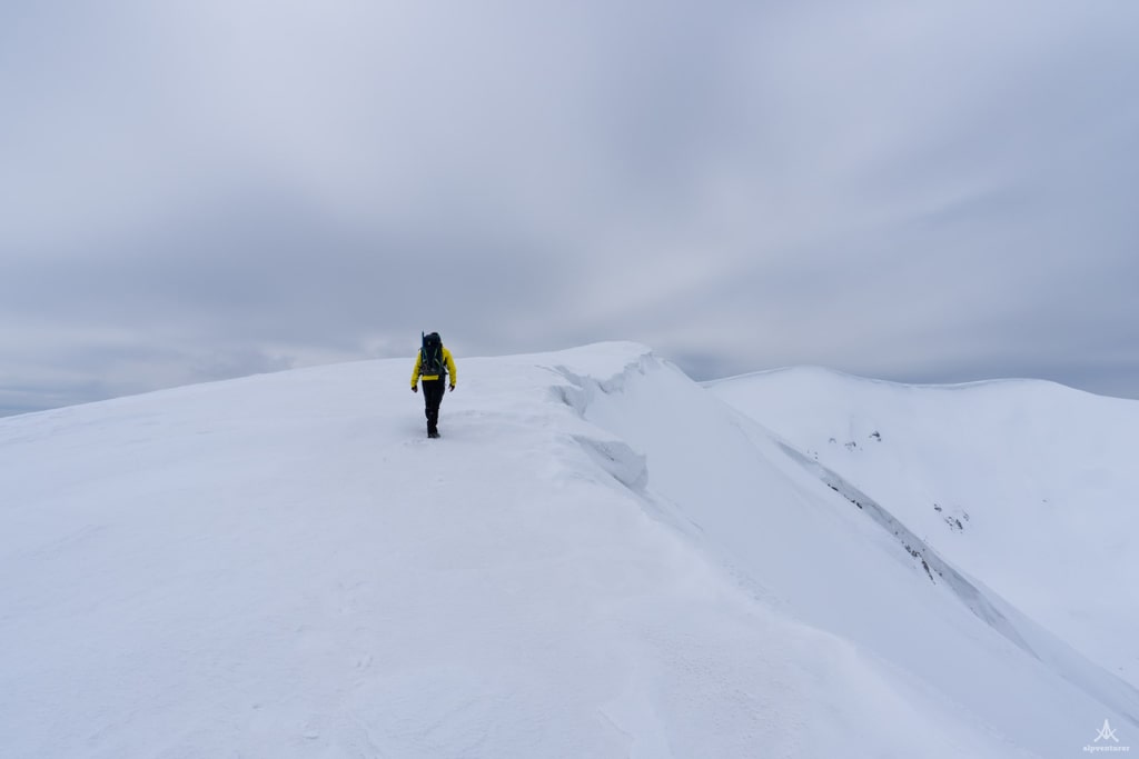
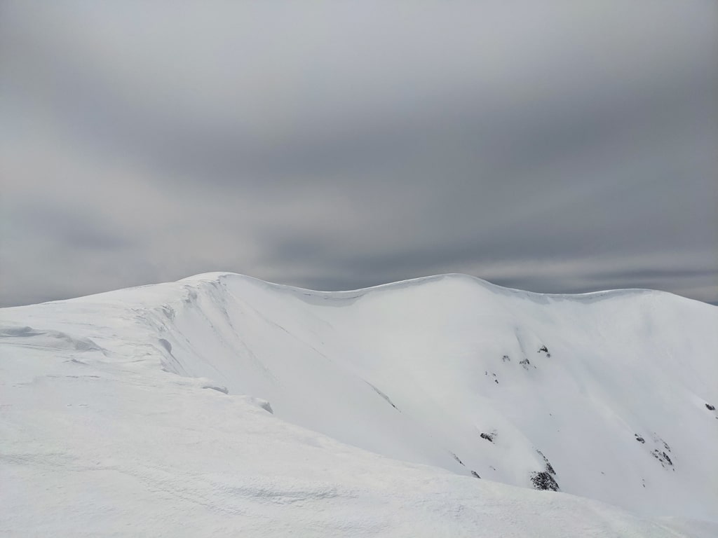
As mentioned above, if you have a 4-wheel drive you can drive further, however, if not, you start walking through an unpaved road for around 3 km. From there, you can see the beautiful Sharr Mountains range and several villages of Dragash. After 3 km, you get into a forest and continue ascending through an unpaved road in the forest, for around 5 km. Then, you need to start ascending to get to the beautiful ridge which is in form of a horseshoe. From there, the highest peak of this mountain called Maja e Pikëllimes is quite close. From the peak, you will have a beautiful 360-degree view of the Sharr Mountains range, Gjallica mountain, and also Pashtrik. In clear weather, you can see the Accursed Mountains as well. The peak is right on the border between Kosovo, and Albania.
It took us around 7 hours and 30 min in total because of the snow. The total distance is around 22 km. Take around 2 liters of water with yourself.
Points of interest:
Starting point: Rapçë, Dragash
Starting altitude: 1’070 m/alt
Highest altitude: 2’393 m/alt
Elevation gain: 1’400 m
Check out the wikiloc map, you can download and follow it:
Forest Hiking Mountains Sharr Mountains
Last modified: October 9, 2025