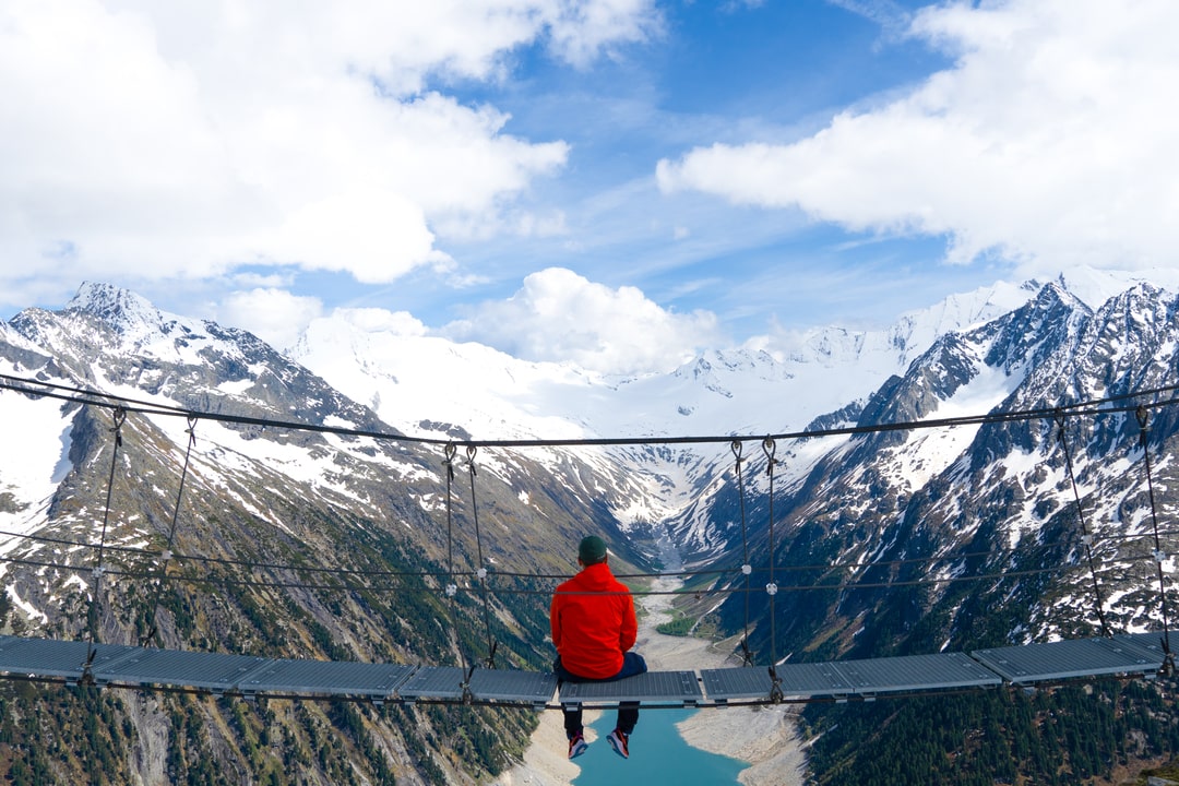
High above the turquoise waters of Schlegeis Stausee, in the Zillertal Alps of Tirol, sits one of Austria’s most iconic mountain huts — Olpererhütte (2,389 m).
You’ve probably seen the photo: a narrow bridge, the lake stretching far below, framed by glaciers and sharp ridges. But the real experience isn’t just the photo — it’s the climb, the air, and the sense of being small in a landscape built for giants.
The Setting
Olpererhütte overlooks the Schlegeis reservoir, a glacier-fed lake surrounded by sheer granite peaks. From up here, you can trace the snaking road that climbs through tunnels and avalanche barriers from Mayrhofen.
The hut itself is a classic alpine refuge — stone walls, timber windows, and red shutters glowing in the afternoon light. Built in 1881 and rebuilt in 2007, it’s part of the Austrian Alpine Club network and still run in the same tradition: simple, warm, and made for people who earn their view.
The Hike
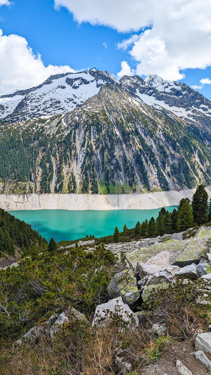
The trail starts near the Schlegeis Stausee parking area (1,785 m). It’s short but steep — an ascent that gains about 620 meters over roughly 6.5 km (round trip).
You begin on a gravel track, then the path narrows, zigzagging through pine and stone. Soon the forest thins, and the sound of rushing water fades into wind. After the last turn, the hut suddenly appears — perched above the lake, with a backdrop of the Olperer Glacier.
The view from the famous suspension bridge just beyond the hut is even better than the photos suggest. On a clear day, the reflection of the glacier on the Schlegeis lake feels painted — unreal in its geometry.
Trail data:
| Metric | Value |
|---|---|
| Distance: | 6.53 km (loop) |
| Elevation gain/loss: | 620 m |
| Max elevation: | 2,420 m |
| Min elevation: | 1,787 m |
| Difficulty: | Easy–Moderate |
| Type: | Loop |
| Time: | 2–3 h up, 1.5 h down |
Beyond the Hut
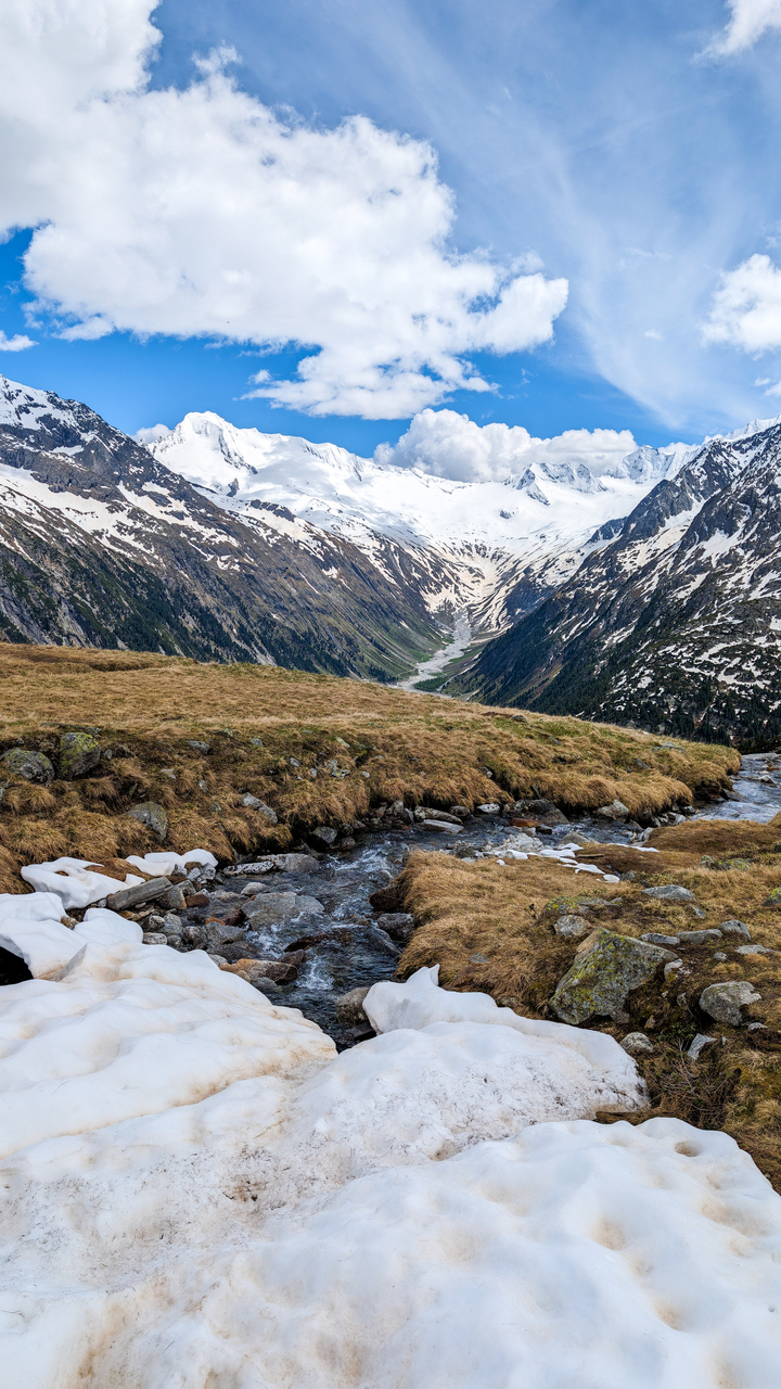
If you have the energy, extend the loop toward Friesenberghaus or the small alpine lake Friesenbergsee — a mirror of the peaks when the wind drops.
Alternatively, take the Schlegeis via ferrata near the dam — a beginner-friendly route that climbs the massive dam wall itself.
And of course, don’t skip a stop at the hut: Austrian mountain comfort at its best — Kaiserschmarrn, Schnitzel, and a cold Almdudler with the glacier in view.
When to Go
The access road, Schlegeis Alpenstraße, opens roughly from late May to mid-October (toll: €14 per car/day).
Outside this window, snow closes both the road and the trail.
Best months for clear skies and open trails: June–September.
Even in summer, pack a warm layer — it’s often below 10°C at the top in the morning.
Staying the Night
Olpererhütte offers dormitory-style beds (book early — it fills months in advance).
Rates:
-
€27 basic
-
€39 with breakfast
-
€57 with half board
The sunrise view over the lake alone justifies the overnight. Light hits the glacier first, then spills down to the turquoise below — one of those few Alpine moments where silence feels earned.
Alternative stays:
-
Dominikushütte – near the dam (good for day hikers)
-
Mayrhofen – hotels and guesthouses with easy access
Getting There
By car:
-
From Munich: ~3 h via A12 → Zillertal → Mayrhofen → Schlegeis Alpenstraße (toll road).
-
From Innsbruck: ~2 h drive.
By public transport:
-
Train: Munich or Innsbruck → Jenbach → Zillertalbahn to Mayrhofen
-
Bus 4102 from Mayrhofen → Schlegeis Stausee
(total travel time: 3–4 h from Innsbruck, 4–5 h from Munich)
Notes for Hikers
-
Footwear: sturdy hiking shoes — trail is rocky, sometimes wet.
-
Start early: parking fills by 9:00 a.m. in summer.
-
No drones near the hut (strict rule).
-
Bring cash: hut accepts no cards.
-
Water: refill at hut or streams.
-
Photo tip: best light 9–10 a.m. or sunset for the bridge shot.
Reflections
Olpererhütte isn’t just a “photo spot.” It’s a reminder of what happens when you keep walking after the road ends.
You earn the silence, the height, and the clarity that no filter can match.
Standing on that wooden bridge, with the wind cold and clean off the glacier, you understand why the Alps still pull people back — not for the photos, but for the feeling that the world, at least for a moment, makes perfect sense.


Leave a comment or a trail report