Dafina bay (Gjiri i Dafines) located in Albania is one of the most beautiful beaches I have ever seen. However, hiking to this bay, it is not very pleasant (I had two small accidents). In the last part of it, when going down from the hill to the bay, there isn’t any proper trail, and you need to decide if you want to go through a very dense thorns forest, or through a rocky ridge, which may be dangerous due to exposure.
How to get there
There are two ways to get there, by boat or hiking.
By boat, there are many tours from Vlorë that will bring you to the Karaburun Peninsula. If you want to hike, the starting point ise near the Marmiroi church in Orikum. From Vlorë, it takes around 45 min to arrive to this church, and you need an SUV. I had a small car, therefore I started this hike near the Naval Base in Orikum, which added around 5 km to the total hike.
About the Dafina bay
From the church, you continue ascending to arrive to the ridge of Karaburun. You need to hike around 6.5 km to arrive to the ridge, and around 400 meters elevation gain. From there, you can see some mountain huts, and also some bunkers with a stunning view.
The bunkers are now used from the local shephards. From there, you have two possibilities, to go down to the Bristani Bay, which is stunning as well, and the trail is quite nice, or continue to the Dafina bay. To Dafina bay, you need to follow the road for around 6 kilometers. Along the way, you can see some abandoned military basis from the communist time, and also a lot of mountain huts. Be careful from shephard dogs. When you reach to the Dafina peak, down there is the Dafina bay. Until there, the trail is great! However, going down, I took the rocky trail (due to some researches in a 3D Map) but there isn’t any trail there, and in some places you have a lot of exposures. When going up, I took the other ‘trail’ which is through the thorny dense forest, and it was TERRIBLE! I have in mind another way, but haven’t tried it, and not sure if I will have the guts to try it :D.
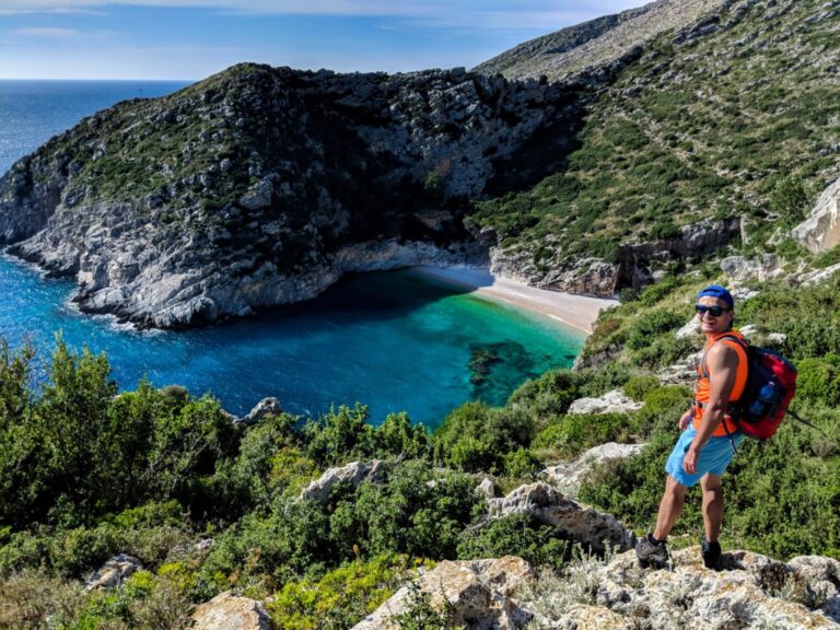
When going down to the bay, the view is AMAZING! Most likely this is the best definition of ‘The Forbidden Fruit’:

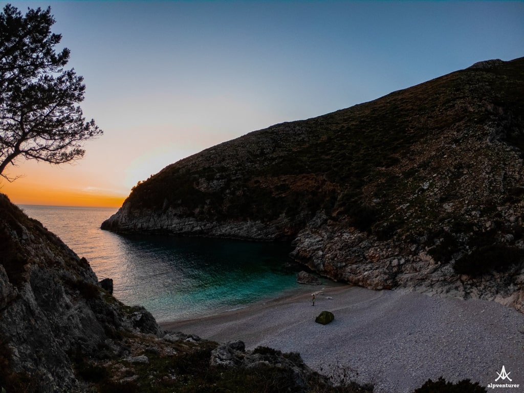
Camped there, and the experience was fantastic! The sunset in Dafina bay, was so beautiful:
There is no water sources, so, you may take with you around 6 liters of water.
This time, I couldn’t find any proper trail, even though a local friend told me that there is one. I would highly suggest doing this trip by boat!


Leave a comment or a trail report