Hiking in the French Alps: A Four-Day Adventure

· updated · 3 min read
A hiker overlooks a turquoise alpine lake and rugged French Alps beneath a clear blue sky
Hiking in the French Alps, France

Where it is

Hiking in the French Alps, on the map

What to pack15 things, for nights on the way

Every hike

Nights on the way

The light for photographs

Today at the high point: sunrise 07:10, sunset 17:22.

Today at the high point: sunrise 07:10, sunset 17:22.

At the high point, in local time (Europe/Paris), with an open horizon: the mountains around can hide the sun sooner.

In short

This four-day hiking itinerary in the French Alps includes Dent du Villard from Courchevel 1650, Le Petit Mont Blanc from Pralognan-la-Vanoise, Cascade des Poux and Aiguille de la Grande Sassière. It combines summit hikes with an easier walk to a waterfall.

The French Alps are a hiker’s paradise, with their stunning mountain ranges, pristine lakes, and picturesque villages. I planned a hiking trip to the French Alps, and here’s the four-day itinerary that I took; it will take you to some of the most beautiful and challenging trails in the region.
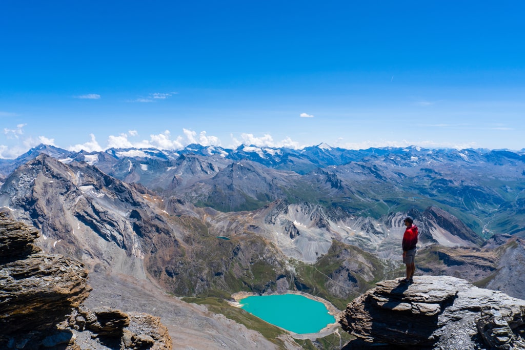
A hiker overlooks a turquoise alpine lake and rugged French Alps beneath a clear blue sky

Day 1: Dent du Villard peak (2285m) from Courchevel 1650
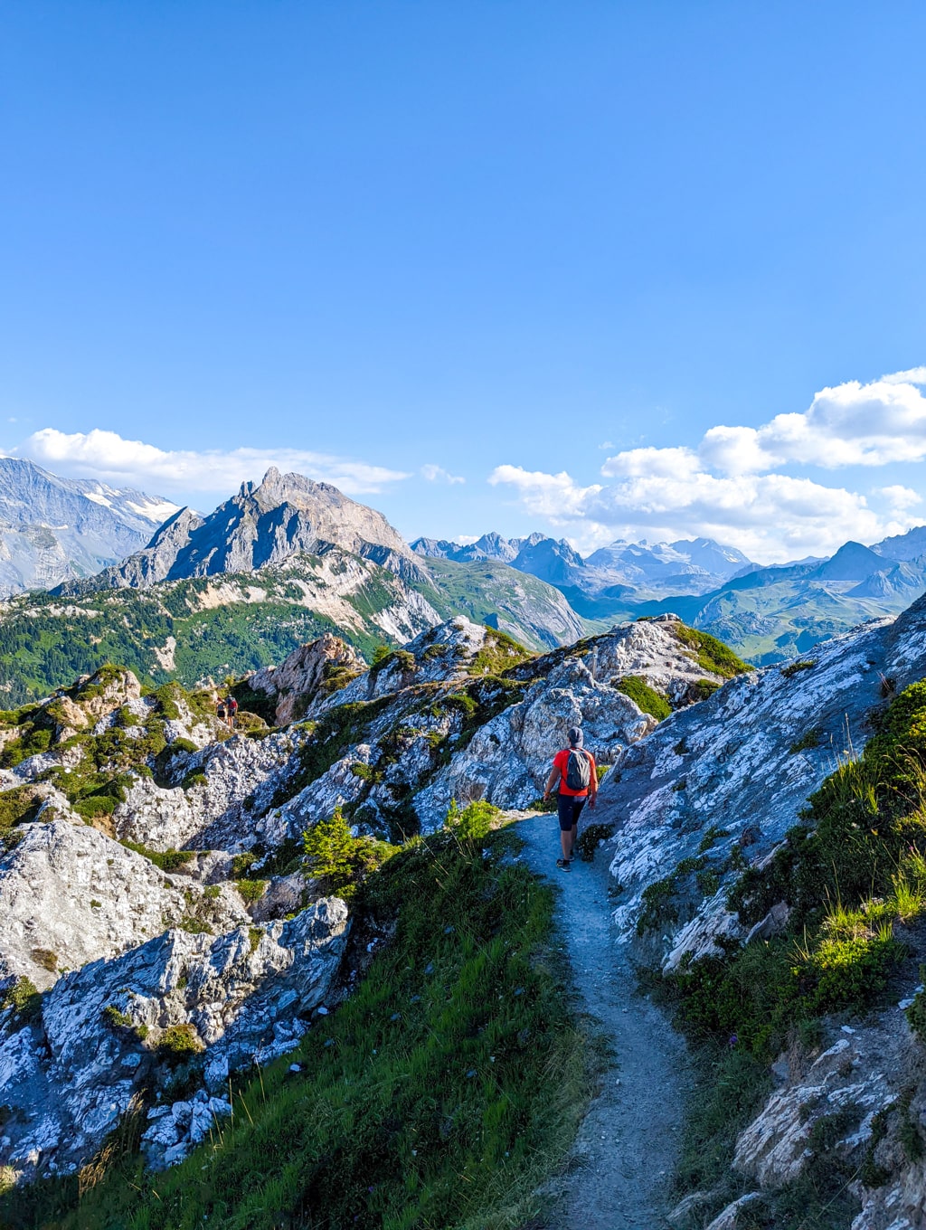
French Alps

The first day of my hiking adventure in the French Alps starts with a challenging but rewarding trail that takes me to the summit of Dent du Villard. The trail starts in Courchevel 1650 and covers a distance of 10.05 km with an elevation gain of 830 m. The trail is steep in some sections and requires a good level of fitness, but the views from the summit are worth the effort. From the top, I could see the beautiful mountain ranges of the Tarentaise valley and the surrounding villages. After reaching the summit, I returned to Courchevel 1650 for a well-deserved rest.

Courchevel 1650 – Dent du Villard (2285m) – Courchevel 16509.5 km · +690 m · −715 m · 2,232 m high · about 4 h 55 min walking
Elevation
Elevation profile of Hiking in the French Alps: A Four-Day AdventureStarts at 1,557 m, climbs 690 m in total to a high point of 2,232 m after 5.2 km, and finishes at 1,532 m; 9.5 km in all.1,500 m2,000 m0 km1 km2 km3 km4 km5 km6 km7 km8 km9 kmStart & finishHigh point · 2,232 m

Day 2: Pralognan-la-Vanoise – Le Petit Mont Blanc (2680m) – Pralognan-la-Vanoise
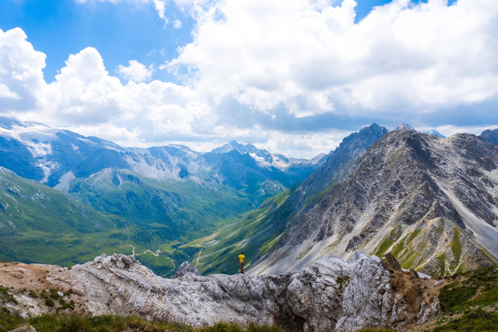
French Alps

The second day of my hike takes me to Le Petit Mont Blanc, located in the heart of the Vanoise National Park. The trail starts in Pralognan-la-Vanoise and covers a distance of 9 km with an elevation gain of 750 m. The trail is relatively easy and offers beautiful views of the mountains and the glaciers. I spotted some local wildlife, including chamois and ibex, along the way. The summit of Le Petit Mont Blanc offers panoramic views of the surrounding peaks, including the Grand Mont Blanc. After reaching the summit, I returned to Pralognan-la-Vanoise for the night.

Pralognan-la-Vanoise – Le Petit Mont Blanc (2680m) – Pralognan-la-Vanoise9.4 km · +721 m · −829 m · 2,630 m high · about 5 h 15 min walking
Elevation
Elevation profile of Hiking in the French Alps: A Four-Day AdventureStarts at 1,909 m, climbs 721 m in total to a high point of 2,630 m after 4.1 km, and finishes at 1,801 m; 9.4 km in all.2,000 m2,500 m0 km1 km2 km3 km4 km5 km6 km7 km8 km9 kmStartHigh point · 2,630 mFinish

Day 3: Courchevel 1650 – Cascade des Poux
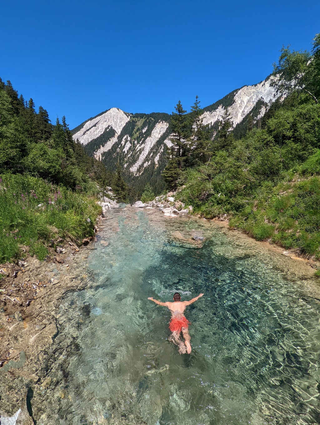
French Alps

On the third day of my hike, I took a break from the summit climbs and enjoyed a more leisurely hike to the Cascade des Poux. The trail starts in Courchevel 1650 and covers a distance of 5 km with an elevation gain of 240 m. The trail is well-maintained and offers beautiful views of the mountains and the cascading waterfall at the trail’s end. The hike takes about 2-3 hours to complete and is a great way to enjoy the great outdoors.

Courchevel 1650 – Cascade des Poux – Courchevel 16504.8 km · +227 m · −234 m · 1,771 m high · about 1 h 50 min walking
Elevation
Elevation profile of Hiking in the French Alps: A Four-Day AdventureStarts at 1,554 m, climbs 227 m in total to a high point of 1,771 m after 2.2 km, and finishes at 1,547 m; 4.8 km in all.1,600 m1,700 m0.0 km0.5 km1.0 km1.5 km2.0 km2.5 km3.0 km3.5 km4.0 km4.5 kmStart & finishHigh point · 1,771 m

Day 4: Le Saut – Aiguille de la Grande Sassière 3747m – Le Saut
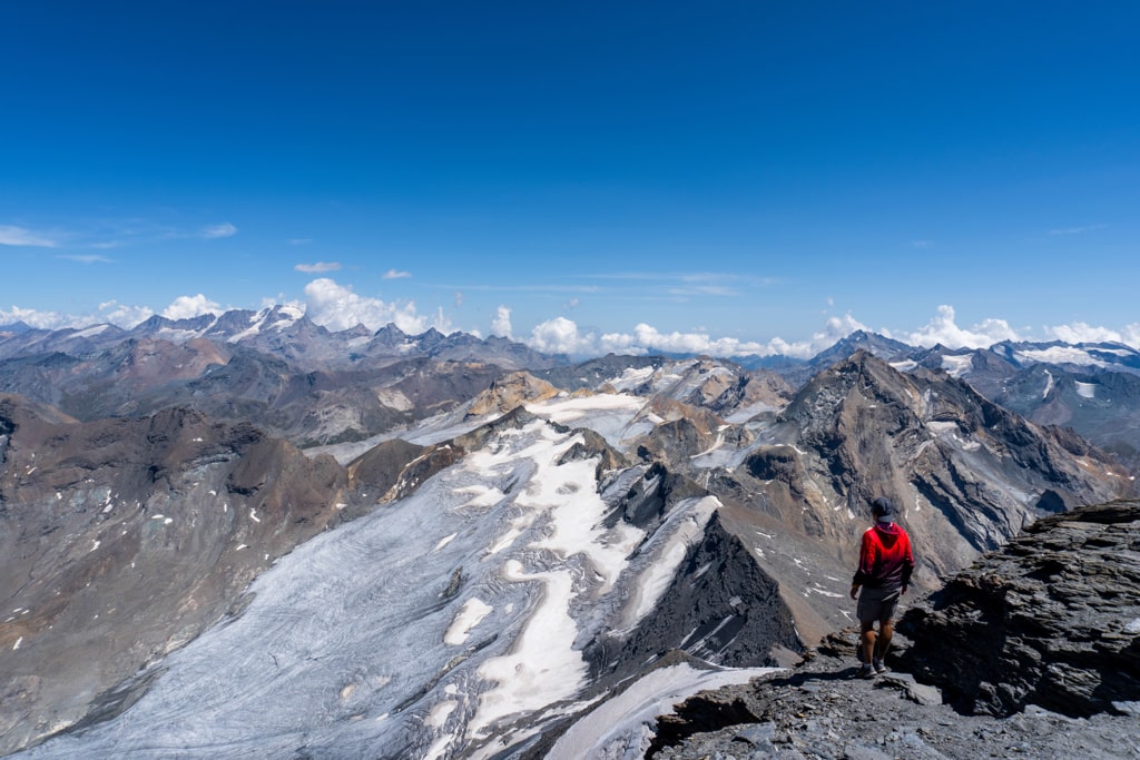
French Alps

The final day of my hiking adventure in the French Alps is a challenging but rewarding trail that takes me to the summit of Aiguille de la Grande Sassière. The trail starts in Le Saut and covers a distance of 12 km with an elevation gain of 1450 m. The trail is steep in some sections and requires a good level of fitness, but the views from the summit are worth the effort. From the top, I could see the beautiful mountain ranges of the Mont Blanc massif and the surrounding valleys. After reaching the summit, I returned to Le Saut for a well-deserved rest and celebrated my accomplishment.

Le Saut – Aiguille de la Grande Sassière 3747m – Le Saut (Summer conditions)11.1 km · +1,415 m · −1,414 m · 3,676 m high · about 8 h 55 min walking
Elevation
Elevation profile of Hiking in the French Alps: A Four-Day AdventureStarts at 2,293 m, climbs 1,415 m in total to a high point of 3,676 m after 5.5 km, and finishes at 2,295 m; 11.1 km in all.2,500 m3,000 m3,500 m0 km2 km4 km6 km8 km10 kmStart & finishHigh point · 3,676 m

In conclusion, the French Alps offer an abundance of hiking opportunities for all levels of hikers. This itinerary provides a balance of challenging and easy hikes and offers breathtaking views of the mountains and the surrounding villages. I ensured I came prepared with the proper gear and supplies, and most importantly, I enjoyed the journey!
Share this guide

Questions and comments

Ask me about this hike

Leave a comment or a trail report

Your email is never shown. A first comment appears once I have read it.

Trail report

Through my lens

From this walk

All my photographs
Granit Temaj

Get my new stories by email

Be the first to know when I come back from the mountains with a new route.

You will get one email to confirm. Unsubscribe any time. Privacy

Read the guide

Trail alerts

An email when someone reports how the path is, or when I update the guide. Nothing else, and one click stops it.

You confirm it by email first. Your address is used for these alerts only. Privacy

License this photograph

Tell me what it is for. I answer within a few days with a price and the licence.

Your name and email are used only to answer this request.

Newsletter

Get my new stories by email

Be the first to know when I come back from the mountains with a new route.

You will get one email to confirm. Unsubscribe any time. Privacy