Vusanje to Valbona is one of the best trails of the Accursed Mountains. Regardless of the fact that it is not very popular (like Valbona to Theth), I think it is very beautiful too. This hike is not only a pass from a village to another village, but it is also a pass-through two beautiful Valleys, Vusanje Valley to Valbona Valley, and it is a pass from the country of Montenegro to Albania. So, you have the chance to cross the border with a view!
How to get to Vusanje
The starting point for this trail is near Gërla Canyon in Vusanje, Montenegro. You need to drive around 4 hours from the capital of Kosovo, Prishtina (around 215 km), or 3 hours from the capital of Montenegro, Podgorica (around 150 km).
Also, you can take the bus to Plav or Gusinje and then take a taxi from there to Vusanje.
If you have a 4 wheel car, you can drive up to Zastan hut, which may save you around 2 hours.
About the Vusanje to Valbona hike
Vusanje to Valbona hike starting point is near Gërla Canyon. There you can find a restaurant called Restaurant Hartini. Near the restaurant, you can find the Gërla waterfall.
After 1.5 km of walk, on your right side, you can find a very beautiful spring called, Blue Eye of Vusanje or Oko Skakavice (The eye of a grasshopper). The water is drinkable and there you can find the last water source of this trail. (Note: During October and November is completely dry, so you need to fill the bottles to the Restaurant I mentioned above):
You will walk through an unpaved road for around 5.8 km, up to Zastan hut.
From there you will take the trail, ascending for around 5 km up to the border between Montenegro and Albania.
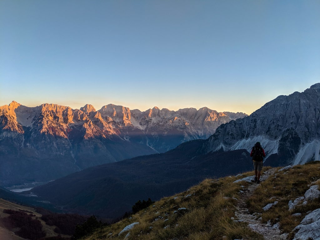
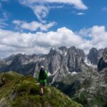
After this, you will go downhill through the very beautiful scenery of the Valbona Valley:
After around 30 mins of walking, you will see a very beautiful old mountain hut. The owner is very friendly, and there you can have the chance to drink a beer or something. He carries all the drinks from Valbona with a mule.
After you pass the hut, you will descent to Kukaj village, and then to the Valbona Valley. The total distance for this trail is 18.3 km, and you need around 2 liters of water.
Note:
- You need to obtain cross-border permission to take this trail.
- This trail is available starting from June until November. The trail is dangerous during the snow season.
Points of interest:
Starting point: Vusanje
Starting altitude: 860 m/alt
Highest altitude: 2’040 m/alt
Elevation gain: 1’200 m
I’ve attached the wikiloc map. You can download and follow it:
Accursed Mountains Forest Hiking Mountains Prokletije
Last modified: October 9, 2025






[…] Read more about this trail here. […]