Hiking to Kollata peak (Maja e Kollatës) is one of the most beautiful and challenging hikes in the Accursed Mountains. The peak is located in the border between Montenegro and Albania and it is part of Kolata massif. The elevation of this peak is 2’556 m/alt. There are several paths to go to Kollata peak, but I will explain the one from Valbona National Park.
How to get to Valbona Valley National Park
Valbona Valley is 22 km from the city called Bajram Curri. Reaching Bajram Curri from Tirana takes around four hours. The bus station in Tirana is in front of Asllan Rusi Sports Center.
Another way to reach Bajram Curri is from Prishtina, Kosovo. First, you go from Prishtina Main Bus Station to Gjakova Bus station and then from Gjakova take the bus to Bajram Curri.
Where to sleep and eat
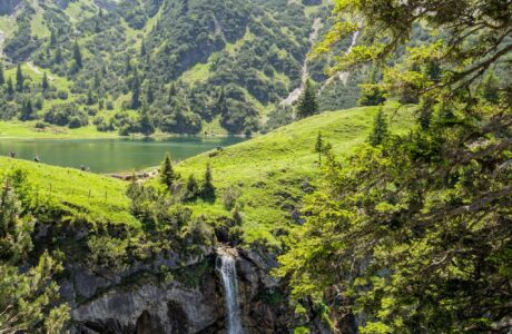
In Valbona Valley there are a lot of Guest Houses, which are cheap, traditional, cozy and they serve you very delicious food. During the summer, the Guesthouses are usually full of tourists, so make sure to book them early.
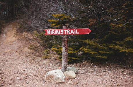
About the Valbona to Maja e Kollatës hike
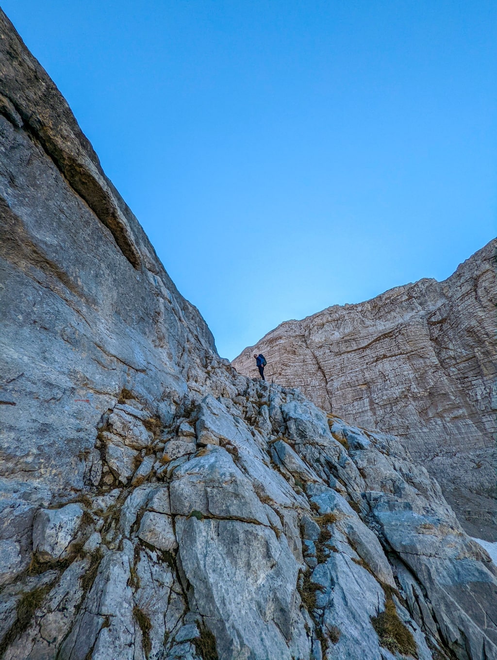
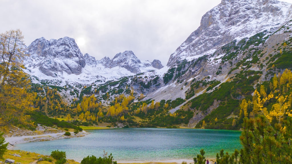
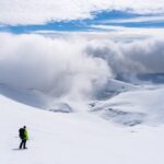
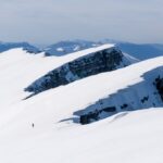
The starting point for this trail is in front of Jezerca Guest House, near the trail which leads you to Rosi peak. First of all, you will cross the Valbona River, which is the last water source for this hike. After this, you will follow the path to a small Valley. On the left side, you will see Maja e Thatë peak (2’406 m/alt), one of the most difficult mountain peaks to climb in the Accursed Mountains. You follow the path which leads you to a rocky hill, where you need to use your hands to climb, clearly, this is the most difficult part. However, after this, you will be at the top of Kolata massif. There you can climb the Maja e Kollatës peak (2’556 m/alt), Kollata e keqe (also known as Zla Kolata 2’534 m/alt) and Kollata e mirë (also known as Dobra Kolata 2’528 m/alt).
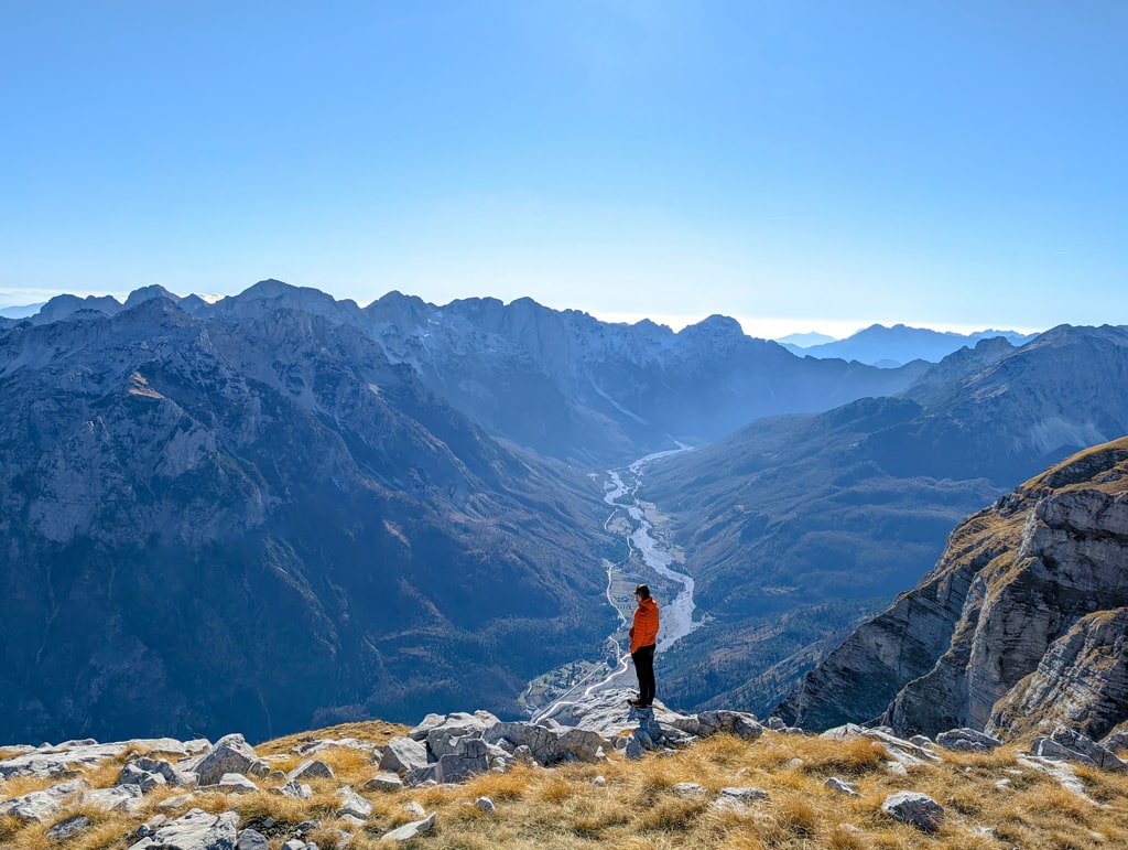
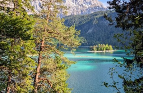
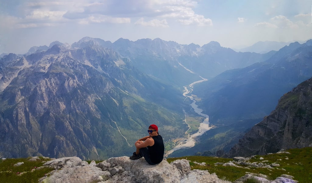
After you reach the Maja e Kollatës peak, you can continue straight to a part called the Balcony. Surely the most beautiful part of the trail, where you can enjoy the stunning views of the Valbona Valley. I think there is the best view of this valley comparatively to all other peaks. The terrain is rocky and in some places slippery, for this reason, this peak is usually climbed during the summer. It is climbed very rarely during the winter. Total distance is 17 km.
In general, it is a difficult hike. The main thing to remember is that there isn’t any water source on this trail, so make sure you have enough water, and take around 3-4 liters.
Points of interest:
Starting point: Valbona Valley, Albania
Starting altitude: 975 m/alt
Highest altitude: 2’556 m/alt
Elevation gain: 1’581 m/alt
Check out the wikiloc trail:
Accursed Mountains Hiking Mountains Prokletije
Last modified: September 22, 2025