Embark on an exhilarating alpine adventure as you hike from Geitau to Aiplspitz, a majestic peak that offers breathtaking panoramic vistas and a thrilling ridge climb. This demanding day hike promises natural beauty, challenging terrain, and a sense of accomplishment. Lace up your hiking boots, embrace the heights, and immerse yourself in the mesmerizing landscapes of the Bavarian Oberland.
How to get there
To kickstart your journey, drive along the Munich-Salzburg motorway and exit at Irschenberg. Follow the scenic route through Fischbachau to Aurach, then turn left and continue for about 3 km to Geitau. At the Gasthof Rote Wand, take a right turn and follow the road to the hikers’ car park at the end of the street.
If you prefer public transportation, catch the Bavarian Oberlandbahn from Munich main station to the Geitau stop, and you’ll be steps away from the hiking adventure.
About the Geitau – Aiplspitz – Spitzingsee hike
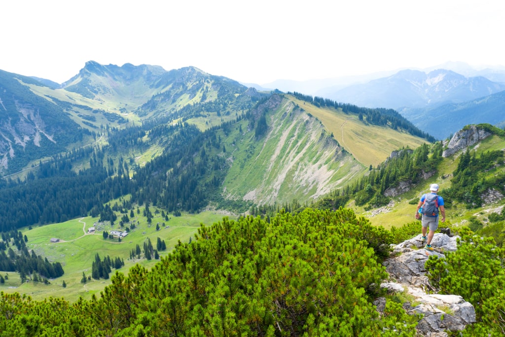
Your journey begins at Geitau (780 m), where you’ll be greeted by the impressive sight of the Aiplspitz and its inviting north ridge. The hike starts gently as you follow the signposted trail towards Aiplspitz via Geitauer Alm. The path gradually ascends through a mountain forest, offering glimpses of the surrounding landscape.
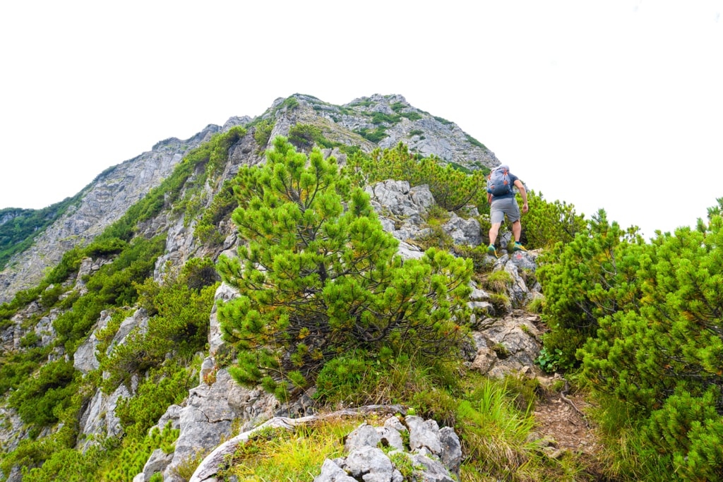
Upon reaching Geitauer Alm (1330 m), the terrain changes, and the real adventure begins. Follow the red markings as you traverse a grassy slope towards the cirque below Aiplspitz. Prepare for a challenging ascent as you reach the saddle between Aiplspitz and Heissenplatte, where the true excitement lies. The final leg of the hike takes you along the exhilarating north ridge of Aiplspitz (1759 m). This part of the journey demands sure-footedness and a head for heights as you navigate the rocky terrain and manageable climbing sections. The ridge offers a thrilling experience, combining stimulating scrambling with occasional walking passages. As you ascend, the panoramic views of Hochmiesing, Rotwand, and Benzingspitz unfold, rewarding your efforts.
After soaking in the stunning summit views, retrace your steps for a descent via the same route. For an alternative descent, consider the west ridge route to Tanzeck. This descent features safety ropes and a mix of earthy and slippery sections, adding an extra layer of excitement. From Tanzeck, continue to the Schönfeldhütte (for a cold beer) and Spitzingsattel, where you can catch a bus back to Fischhausen-Neuhaus and the Bavarian Oberlandbahn.
Embarking on the Geitau to Aiplspitz hike is an unforgettable journey that offers natural beauty, physical challenges, and panoramic rewards. Embrace the heights, experience the rush of the north ridge scramble, and bask in the awe-inspiring vistas that await atop Aiplspitz. This adventure is a testament to your daring spirit and a chance to connect with the stunning landscapes of the Bavarian Oberland.
Points of Interest:
- Starting Point: Geitau
- Total Distance: 11 km
- Starting Altitude: 775 m/alt
- Highest Altitude: 1759 m/alt
- Elevation Gain: 1000 m
Here is the Wikiloc trail:
You can buy me a beer to support me and my content! 🍺
Bavarian Alps Climbing Forest Hiking Lake
Last modified: September 26, 2025


