Epic Day Hike from Bayerwald to Rosstein Summit

· updated · 2 min read
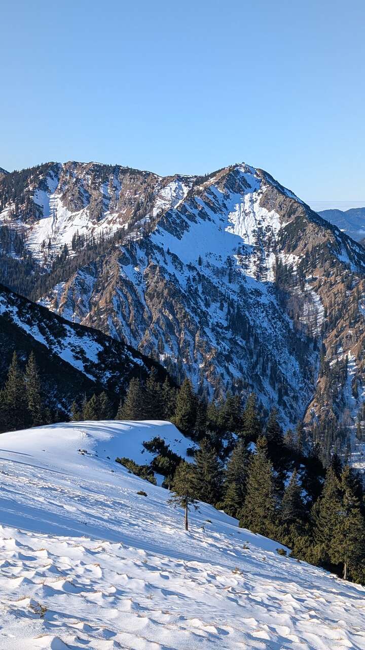
A hiker approaches a mountain hut on the rocky Rosstein ridge as mist drifts over forested peaks
Epic Day Hike from Bayerwald to Rosstein…, Germany
Distance
8.6 km
Ascent
+920 m
Descent
−820 m
High point
1,698 m
Difficulty
Challenging

The route

Epic Day Hike from Bayerwald to Rosstein…, on the map

From my own GPX track. Move along the elevation profile or along the line on the map: both show the same point.

Distance8.6km
Ascent+920m
Descent−820m
High point1,698m
DifficultyChallenging

Walking time at your paceAn estimate without breaks, worked out from the distance and the climb.

  • Relaxed7 h 15 min
  • Average5 h 45 min
  • Fast4 h 35 min

Elevation

Elevation profile of Epic Day Hike from Bayerwald to Rosstein SummitStarts at 864 m, climbs 920 m in total to a high point of 1,689 m after 3.9 km, and finishes at 882 m; 7.9 km in all.1,000 m1,500 m0 km1 km2 km3 km4 km5 km6 km7 kmWanderparkplatz Ross- und BuchsteinRosstein · 1,689 m

How steep

  • 0.9 kmUnder 8%
  • 1.0 km8 to 15%
  • 3.2 km15 to 25%
  • 2.9 kmOver 25%

In two parts

Embed this map

Paste this into your page or post (in WordPress: a Custom HTML block). The map stays up to date with the guide, and the link under it leads your readers to the full guide.

What to pack12 things, for a summit

Every hike

For the summit

The light for photographs

Today at Rosstein: sunrise 06:57, sunset 16:56.

Today at Rosstein: sunrise 06:57, sunset 16:56.

At Rosstein, 1,689 m, in local time (Europe/Berlin), with an open horizon: the mountains around can hide the sun sooner.

In short

The Rosstein hike starts at the Roß- und Buchstein car park in Bayerwald, Germany. It covers 8.6 km, with 920 m of ascent and 820 m of descent, and reaches 1,698 m. The route is challenging and includes a rocky passage secured with a wire rope.

Embark on a thrilling alpine adventure as you journey from Bayerwald to the majestic Rosstein summit. This exhilarating day hike promises breathtaking vistas, rocky ascents, and a sense of achievement like no other. Explore the beauty of the Tegernseer mountains, tackle challenging terrains, and stand atop the iconic Rosstein peak. Strap on your hiking boots and get ready for an unforgettable exploration of Bavaria’s natural wonderland.

Bayerwald to Rossstein

How to get there

If you’re coming from Munich, follow these directions: Take the Munich-Salzburg motorway and exit at Holzkirchen (Exit 97). Continue your journey towards Tegernsee and then follow the B307 to the Bayerwald settlement. Park at the Roß- und Buchstein car park, clearly marked on your right, after about a kilometer.

For those opting for public transport, catch the Bavarian Oberlandbahn from Munich Central Station to Tegernsee. From Tegernsee, take bus lines 9550 or 9556 to the Tegernseer Hütte bus stop in Kreuth. This bus stop is conveniently located right at the starting point of your hike.

About the Bayerwald to Rosstein Hike

Bayerwald to Rossstein

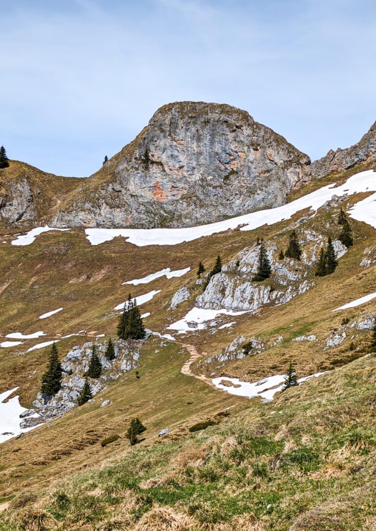
Your adventure begins with a steep forest path leading to the Sonnbergalm. The seemingly straightforward forest trail offers only a glimpse of the diverse ascent that awaits. As you choose the south-facing route towards the Tegernseer Hütte beneath the summit massif, be prepared for a thrilling rocky passage secured with a wire rope. If you opt to circumvent the Rosstein, reaching the hut becomes easier. The Rosstein summit ascent, while not overly challenging, offers breathtaking views that make every step worthwhile. For the more daring, the Buchstein to the east demands a helping hand to climb.

As the path leads you to the southern face of the summit massif, the Tegernseer Hütte comes into view, nestled between the Rosstein and Buchstein. A wire-secured path on the south side adds excitement to your journey, ultimately leading you to the Tegernseer Hütte and Rosstein summit. The Rosstein Summit rewards you with a stunning panorama that includes the Jachenau, Jochberg, Benediktenwand, Wallberg, Wendelstein, and more.

The journey continues to the Buchstein, an ascent that requires lending a hand. After a well-deserved break at the Tegernseer Hütte, your descent takes you back to the starting point.

Embarking on the Bayerwald to Rosstein day hike promises an adrenaline-pumping experience with a plethora of awe-inspiring views and challenging terrains. This adventure offers everything from serene forest paths to exhilarating rocky climbs. Reach the Rosstein summit and relish in the unmatched beauty of the Bavarian Alps. It’s time to elevate your hiking game and create memories that will last a lifetime.

Points of Interest:

  • Starting Point: Wanderparkplatz Ross- und Buchstein
  • Total Distance: 8.59 km
  • Starting Altitude: 860 m
  • Highest Altitude: Rosstein (1698 m)
  • Elevation Gain: 920 m

Share this guide

Questions and comments

Ask me about this hike

Leave a comment or a trail report

Your email is never shown. A first comment appears once I have read it.

Trail report

Through my lens

More from Germany

All my photographs

Keep exploring

More from Bavarian Alps

All Germany guides
Granit Temaj

Get my new stories by email

Be the first to know when I come back from the mountains with a new route.

You will get one email to confirm. Unsubscribe any time. Privacy

Read the guide

Trail alerts

An email when someone reports how the path is, or when I update the guide. Nothing else, and one click stops it.

You confirm it by email first. Your address is used for these alerts only. Privacy

License this photograph

Tell me what it is for. I answer within a few days with a price and the licence.

Your name and email are used only to answer this request.

Newsletter

Get my new stories by email

Be the first to know when I come back from the mountains with a new route.

You will get one email to confirm. Unsubscribe any time. Privacy