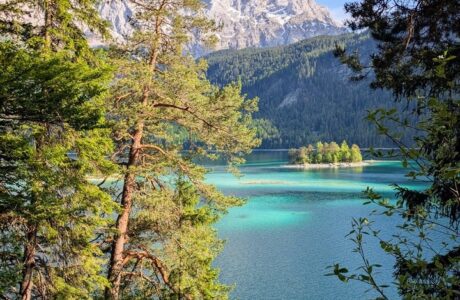
Most people come to Tegernsee for spas and snow views through glass. But there’s another side — silent, steep, and all yours if you go high enough.
The Hirschberg (1,670 m) rises just south of the lake, a solid mountain in the Bavarian Prealps with one of the best panoramas for the effort. In summer it’s crowded. In winter, it feels like it belongs to you.
Trail Overview
Distance: 13.9 km
Elevation gain/loss: 911 m
Max / Min elevation: 1,658 m / 764 m
Difficulty: Moderate
Type: Loop (via Hirschberghaus and Rauheckalm)
Time: 4–5 h (6 h with stops)
Start/End: Scharling (near Rottach-Egern)
From Scharling to the Forest Ridge
The trail starts in Scharling, a quiet hamlet south of Rottach-Egern. From the small parking lot near the village sign, the road turns to gravel and climbs steadily into spruce forest.
Snow muffles the sound of the stream below. The path widens, switching back between clearings. In winter the forest feels slow and deliberate — every step crunches, every breath hangs in the cold air.
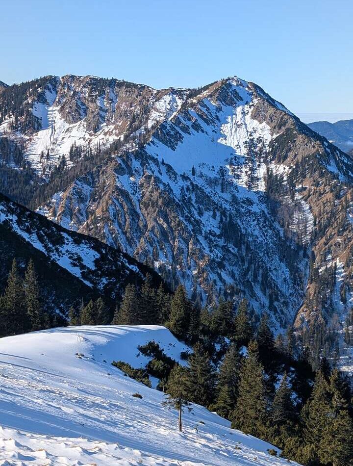
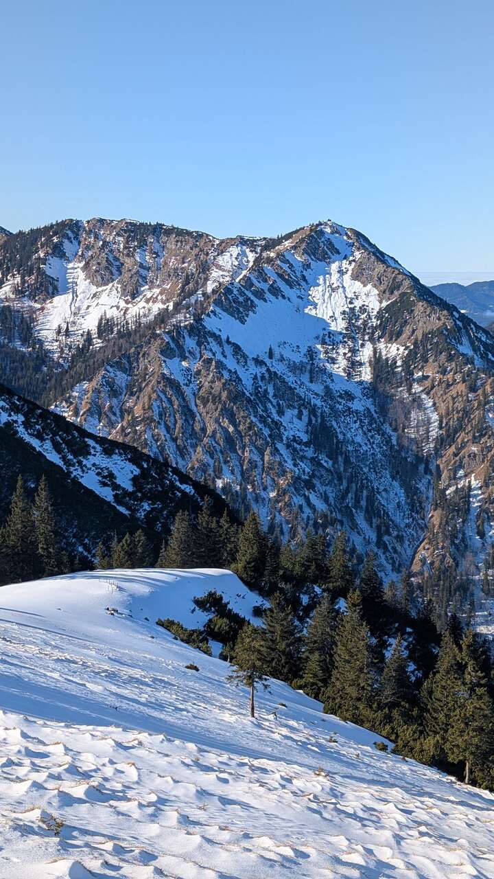
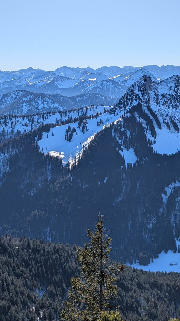
After about 90 minutes the first view opens: the ridge of Kratzer and beyond it, the summit cross of Hirschberg.
Final Ascent to the Summit
The upper section steepens. Here, hiking poles or microspikes help. You pass the Hirschberghaus (1,511 m), usually closed in winter, and follow a narrow track along the ridge. The last push is short but sharp — a clean 150 vertical meters through wind-packed snow.
Then suddenly, it levels.
At the summit cross (1,670 m), the panorama unfolds wide and exact: Lake Tegernsee below, Roßstein–Buchstein to the southwest, Rofan and Karwendel ranges further behind. On clear days, even the Zugspitze shows its edge on the horizon.
Descent via Rauheckalm
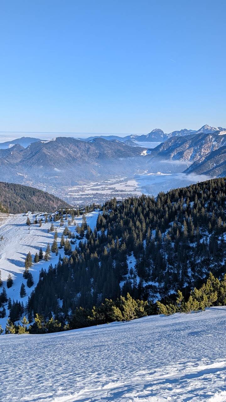
On the way down, the detour to Rauheckalm is worth it — a gentle traverse through open alpine pasture with sweeping light on the snowfields. The forest track drops back into the valley, joining the same road that leads to the starting point in Scharling.
In total, the loop feels long but never harsh — a steady rhythm between forest shade, snow glare, and short bursts of sun.
Notes for Hikers
- Season: December–March. Early mornings are firmer; snowshoes may be needed after fresh snowfall.
- Gear: waterproof boots, poles, spikes or light crampons, warm layers.
- Safety: low avalanche risk if you stay on the marked trail; avoid the open east face below Rauheckalm after heavy snow.
- Parking: small paid lot in Scharling (near Hirschberg lifts).
- Public transport: train to Tegernsee, then Bus 9550 to Kreuth-Scharling (Hirschbergweg).
Why It’s Worth It
Winter hikes can feel mechanical — cold, grey, functional. But Hirschberg breaks that pattern.
It’s simple, beautiful, and unpretentious. The kind of mountain that rewards you with space instead of adrenaline.
From the summit cross, you can see half of Bavaria under snow, and for a few minutes, nothing else matters.
Bavaria Bavarian Alps Hiking Mountains
Last modified: October 19, 2025