Some Dolomites trails are famous for a reason. Others stay quiet because they make you work a little harder.
Lago di Sorapis sits between the two—a lake so turquoise it looks unreal, reached only by a narrow mountain path where stone, light, and silence meet.
I hiked it from Federavecchia, taking the lesser-known loop up to Rifugio Vandelli and back. It’s the same destination most reach from Passo Tre Croci—but without the line of hikers.
The reward? Solitude, balance, and a cold wind off the cliffs that feels like it’s scraping your mind clean.
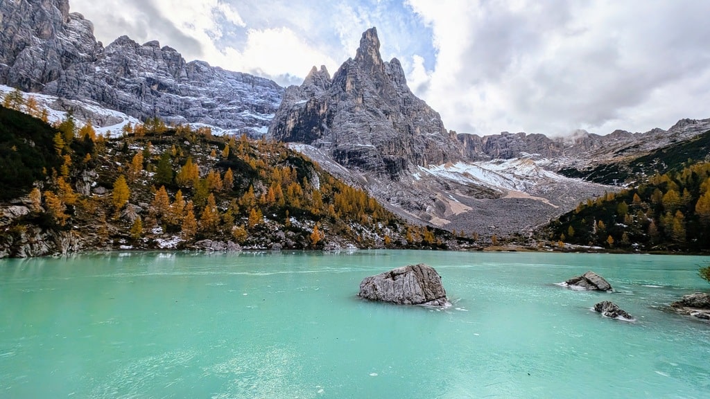
Trail Overview
Distance: 12.25 km
Elevation gain/loss: 681 m
Max / Min elevation: 1,938 m / 1,737 m
Difficulty: Moderate (some exposure on cables and ledges)
Type: Loop
Moving time: 4–5 h (6–7 h including lake and breaks)
Start/End: Near HOTEL Passo Tre Croci Cortina (46.55614252006028, 12.204609879101863)
Passo Tre Croci to the Balcony Trail
From the hotel at Passo Tre Croci, the path (CAI 215) starts quietly through spruce forest.
The first stretch is easy—soft ground, filtered light, peaks appearing between the trees. Then the terrain changes. The trail narrows, hugging the rock face with short wooden bridges and fixed steel cables bolted into limestone.
It’s never technical, but it demands attention. You climb steadily above the valley, the view opening toward the Cristallo group, with Tre Cime faint in the distance.
Then, just as suddenly as it began, the exposure ends. The ledge folds into an open plateau, and the sound of water starts to echo faintly through the basin.
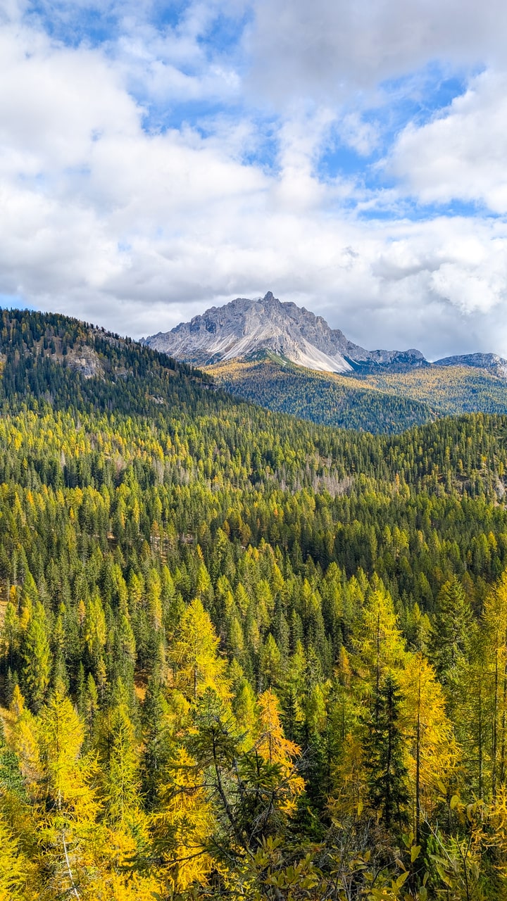
Approaching Lago di Sorapis
The final 15 minutes wind through gravel and dwarf pines. Then the ridge opens, and the lake appears—an unreal shade of blue, opaque like glacial milk.
Rifugio Vandelli sits just above the shore, at 1,926 m, framed by the sharp grey spires of the Sorapis massif.
Even in late season, when the water level drops and the air turns cold, the place has a quiet magnetism. You feel the altitude, the stillness, and how small everything becomes in that bowl of rock and light.
The lake is protected. No swimming, no shortcuts, no drone flights. Just sit, breathe, and listen.
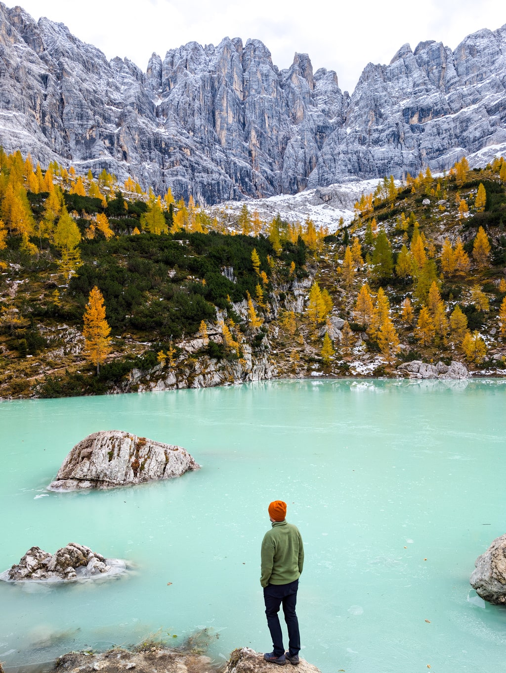
Rifugio Vandelli and the Loop Return
The hut serves simple mountain food—hot polenta, soup, espresso from a gas burner. It’s open mid-June to mid-September.
When it’s closed, you eat your own lunch on the steps and stare at the ridge until you forget time.
I continued along the loop behind the rifugio, descending through forest and scree toward the Passo Tre Croci road. The descent is quieter, less exposed, and occasionally steep but steady—good closure after the dramatic approach.
Notes for Hikers
- Best season: late June to early July for peak turquoise; September–early October for calm and color.
- Trail surface: mix of forest soil, cables, roots, limestone ledges.
- Gear: hiking shoes, 1.5–2 L water, shell layer, poles for descent, cash for the hut.
- Safety: avoid early season (snow lingers on cables until July); do not hike in rain.
- Time of day: mid-morning start gives good light on the lake and safe footing.
Getting There
By car: 15 min from Cortina on SR48. Limited roadside parking at the top of Passo Tre Croci—arrive before 9 a.m.
By bus: Dolomiti Bus 30/31 from Cortina (summer only). It stops directly at the pass.
Why This Hike Matters
Sorapis is the kind of place that makes you question perspective.
You walk a few hours, hold a few cables, doubt your balance once or twice—and then you arrive at something that looks impossible.
Every drop of sweat and every meter of climb collapses into silence. You just stand there, staring at a color that can’t be real, and for once you stop trying to photograph it. You just see it.
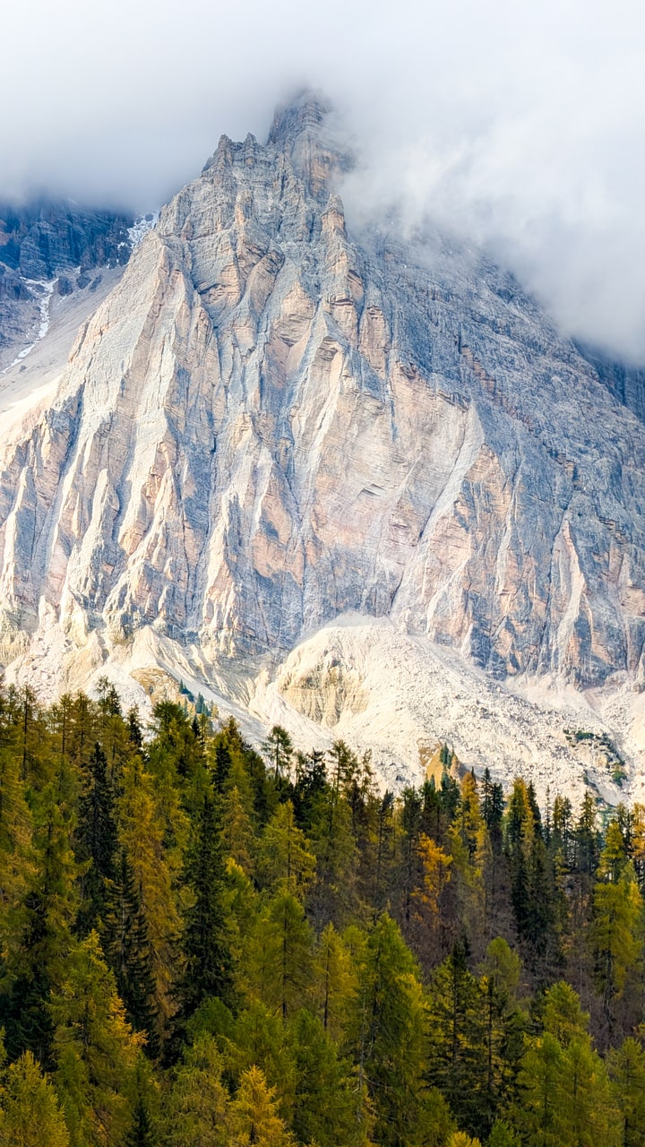
Reflection
Sorapis isn’t a casual stop—it’s a commitment. You climb, focus, balance, and sweat for a lake that could have been painted rather than formed.
Every turn on the ledge earns the silence at the top. Every breath feels cleaner. And when you leave, you’ll glance back once—not to make sure it’s real, but because part of you already wants to return.

Leave a comment or a trail report