
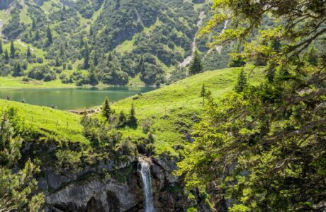
Kalabak peak trail is part of the Sharr Mountains and High Scardus trail and it is one of the most beautiful and colorful hikes around. Located right in the border between Kosovo and Albania, this trail links the village of Shishtavec and Caje in Albania. It is around 2200 years old, and during the Roman empire, it was called Scardus. The name Scardus comes from Latin which means colorful.
How to get there
The starting point for this trail is near the village of Shishtavec in Albania. Shishtavec is 32 km from the city of Kukës, Albania, and 60 km from Prizren, Kosovo. Once you reach the first exit from the highway, take right, along the beautiful canyon. Close to Shishtavec, you can find Brekije village as well, where you can find the starting point for a more challenging but equally beautiful hike, as the one to Mount Gjallica (2489 m/alt), which is called the Balcony of Northern Albania.
About the Kalabak peak hike
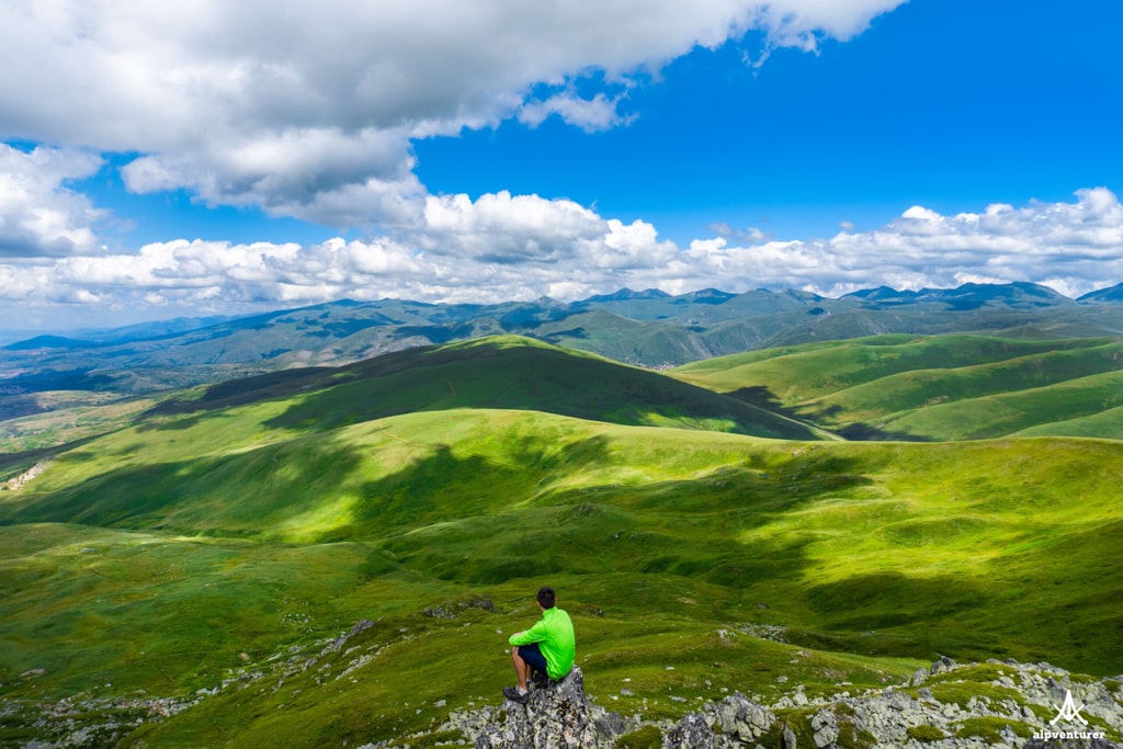
HIking to Kalabak peak is fantastic and very beautiful. Walking through beautiful alpine meadows may look like you are into a real Teletubbies land. You start from Shishtavec going up, and then along the border between Kosovo and Albania. When you reach around 2000 meters, you will be able to see very beautiful views and enjoy one of the best hikes around.
When you reach Kalabak, you can continue walking, and arrive at the village of Caje, or if you want a loop hike, go back to Shishtavec.
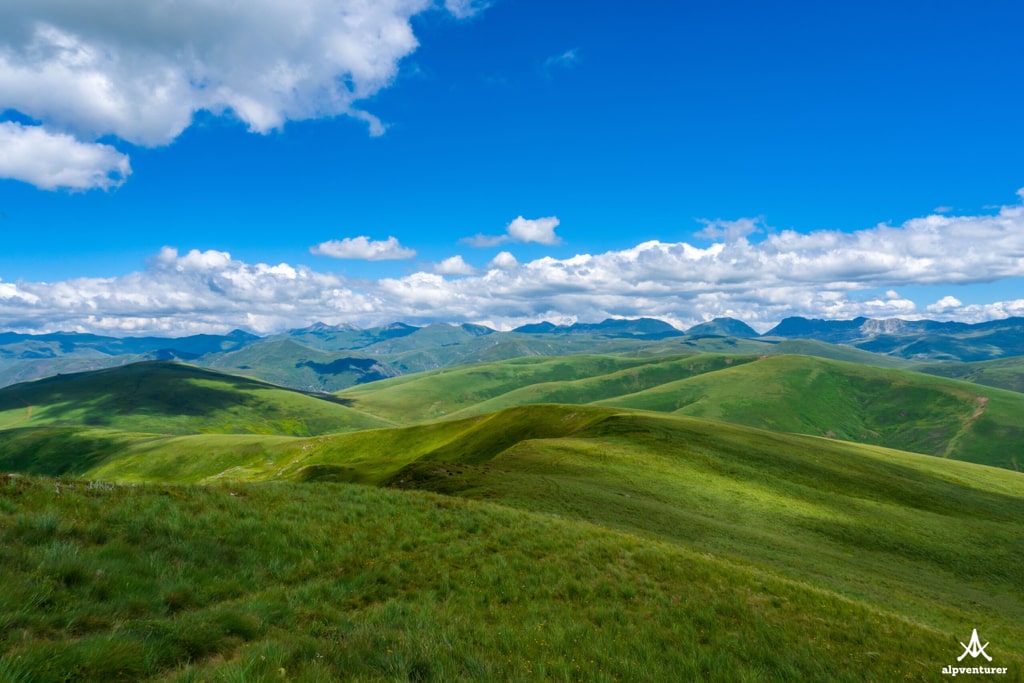
This trail is beautiful during all the seasons, especially in early summer, because of a lot of flowers. There is only one water source along the trail, so take around 3 liters of water.
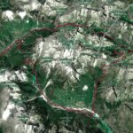
During all the trail you will have signs, and the path is very visible if you follow the normal route. On my way back, I went through the village of Bafa, and a very dense forest was there without any normal trail. I wouldn’t suggest taking that path! The distance of this trail is around 23 km.
Points of interest:
Starting point: Shishtavec, Albania
Starting altitude: 1’058 m/alt
Highest altitude: 2’174 m/alt
Elevation gain: 1’058 m/alt
You can download and follow the trail from wikiloc:
Hiking Mountains Sharr Mountains Village
Last modified: October 9, 2025


[…] views from this trail, starting from green fields, isolated villages, the high mountain of Gjallica, and the Canyon of […]
[…] Read more: Kalabak Peak […]