Brave the cold and embark on a snowy journey to Baumgartenschneid, a pinnacle of natural splendor located between the serene Tegernsee and Schliersee in the heart of the Tegernsee Valley. This winter hike is not merely a trail; it’s an adventure through frosted forests, past historical landmarks, and atop snowy peaks offering breathtaking vistas. Whether you’re a seasoned snowshoe enthusiast or a winter wanderer seeking solace in a snowy paradise, the Baumgartenschneid trek promises enchanting landscapes and a peaceful retreat from the hustle of daily life. Pull on your warmest gear and let’s discover the magic of winter hiking.
Journey to the Snow-Clad Summit
How to Reach Your Winter Wonderland
By Car: The route from Munich to the Baumgartenschneid trailhead is straightforward. Exit the Munich-Salzburg A8 at Holzkirchen, following B 307 to Tegernsee. Before reaching the train station, veer right onto Max-Josef-Straße, where you’ll find parking at the entrance to Alpbachtal, near Prinzenweg and Schützenstraße. This journey sets the stage for an unforgettable winter escapade.
By Public Transport: From Munich’s main station, catch a train to Tegernsee (timetable and booking available online). A brief walk through Bahnhofstrasse and Max-Josef-Strasse leads you to the starting line of your adventure. The Bayern Ticket offers an economical option for groups traveling together. Same for the Deutschland ticket.
Geo Coordinates: For precise navigation, set your GPS to 47.712967, 11.767988, the gateway to your snowy expedition.
The Winter Trail to Baumgartenschneid
Character: This largely easy hike, with a blend of good paths and wide forest roads, becomes a winter wonderland tale during the snowy months. While the descent from Baumgartenschn’s summit to the north poses a slightly steeper challenge, the entire route, covering a good 10 km and around 700 meters in altitude, is an accessible adventure for many.
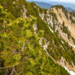
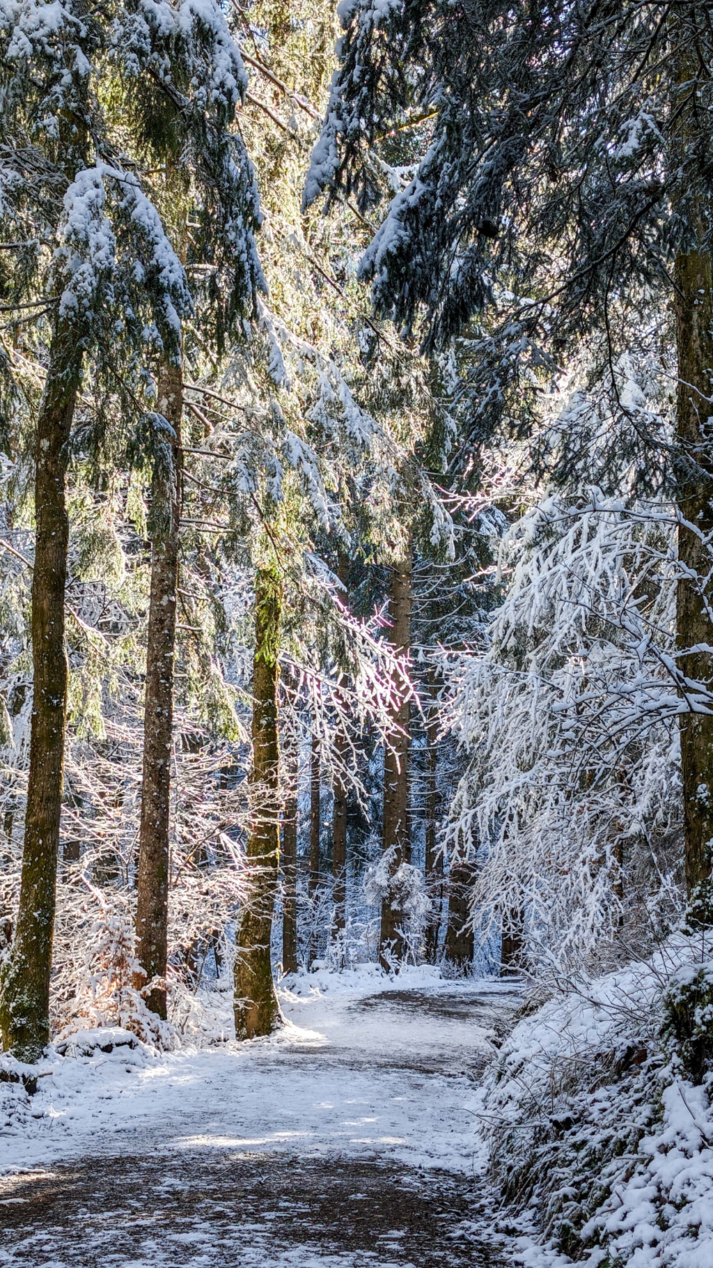
The Ascent: Starting east from the parking lot at Alpbachtal, the path to Baumgartenschneid diverges in three directions. Choosing the most popular route, you ascend through the enchanting mountain forest, its trees frosted with snow, creating a serene winter landscape. Signposts guide you towards Galaun and the Riedersteinhaus, where a cozy stopover awaits.
Pause at Riedersteinhaus am Galaun: After approximately 45 minutes of walking through the snow-muted forest, you arrive at the hospitable Riedersteinhaus am Galaun. It’s a perfect spot for a warming break, allowing you to soak in the tranquility of your surroundings.
Journey to Riederstein: Leaving the Riedersteinhaus, the path veers left, leading you to the Riederstein summit. Here, the Stations of the Cross and a Madonna figure nestled on a rock narrate stories of faith amidst the alpine beauty. The small chapel at the summit, though modest, commands a magnificent view of the Tegernsee Valley, framed by the majestic peaks of the Mangfall Mountains.
Atop the Baumgartenschneid
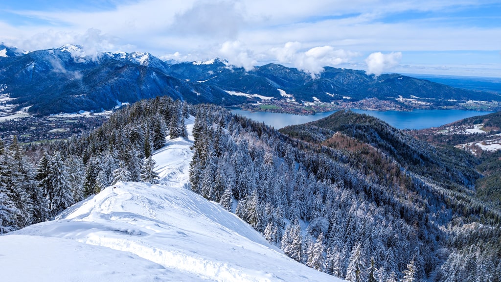
From Riederstein, the trail meanders eastward along the ridge, gradually revealing the expansive snowy meadows leading to Baumgartenschneid’s summit. Standing under the dark silhouette of the summit cross, you’re rewarded with panoramic views of Tegernsee Lake and the surrounding mountain ranges, a testament to the enduring allure of the Bavarian Alps in winter.
Descent into Alpbachtal
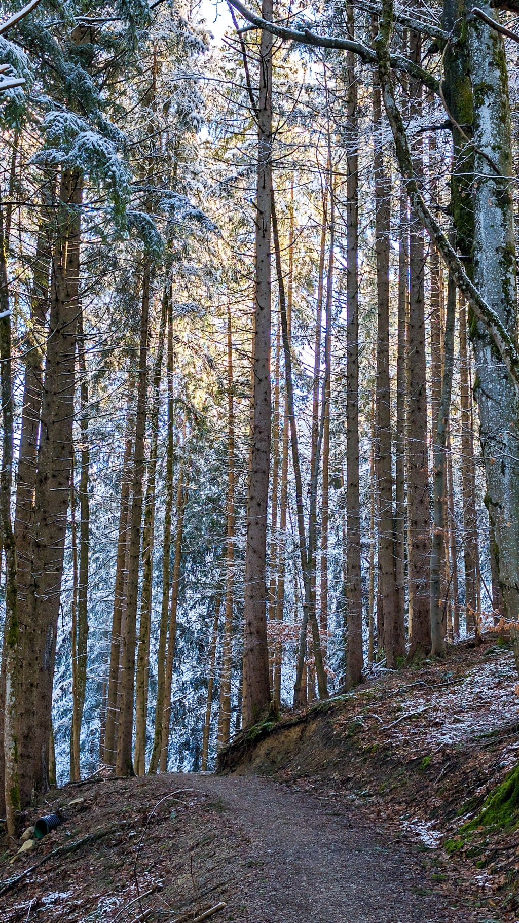
Choosing the northern descent towards the Baumgartenalm, you re-enter the forest’s embrace, its branches heavy with snow. The path winds steeply down, challenging your footing but rewarding with serene snowscapes. Eventually, merging onto a forest road, you find yourself back in Alpbachtal, with the signs pointing you towards Tegernsee, marking the end of this winter tale.
The Baumgartenschneid hike in snow is more than a physical journey; it’s a passage through winter’s serene beauty, a chance to witness the quietude of nature’s rest period. Whether it’s the challenge of the ascent or the calm of the snow-covered forests, this hike offers an enriching experience for the soul. As you look back on this guide and prepare for your snowy adventure, remember, the trail to Baumgartenschneid is an invitation to explore the peaceful, frozen heart of the Tegernsee Valley.
Points of Interest:
- Starting point: Alpbachtal (47.712967, 11.767988)
- Total distance: 10 km
- Elevation gain: 700 m
- Highest peak: Baumgartenschneid (1,449 m)
Embrace the chilly embrace of the Bavarian winter and let the Baumgartenschneid hike become a memorable chapter in your adventure diary.
Here is the wikiloc trail:
You can buy me a beer to support me and my content! 🍺
Bavaria Bavarian Alps Blog Forest Hiking Mountains
Last modified: September 22, 2025