Hiking from Neuhaus to Bodenschneid – A Spectacular Day Trip

· updated · 2 min read
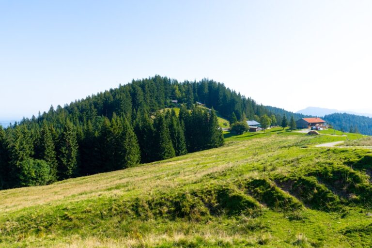
Green ridges and forested peaks along the Bodenschneid trail, with a small red-roofed building below
Hiking from Neuhaus to Bodenschneid, Germany
Distance
12.7 km
Ascent
+841 m
Descent
−842 m
High point
1,668 m
Difficulty
Challenging

The route

Hiking from Neuhaus to Bodenschneid, on the map

Two ways to walk it, both from my own GPX tracks. Pick one: the map, the profile and the numbers follow.

Distance12.7km
Ascent+841m
Descent−842m
High point1,668m
DifficultyChallenging

Walking time at your paceAn estimate without breaks, worked out from the distance and the climb.

  • Relaxed7 h 35 min
  • Average6 h 5 min
  • Fast4 h 50 min

Elevation

Elevation profile of Hiking from Neuhaus to Bodenschneid – A Spectacular Day TripStarts at 809 m, climbs 841 m in total to a high point of 1,663 m after 6.3 km, and finishes at 819 m; 12.7 km in all.1,000 m1,500 m0 km2 km4 km6 km8 km10 km12 kmNeuhausBodenschneid · 1,663 m

How steep

  • 3.4 kmUnder 8%
  • 4.8 km8 to 15%
  • 3.4 km15 to 25%
  • 1.2 kmOver 25%

In two parts

Embed this map

Paste this into your page or post (in WordPress: a Custom HTML block). The map stays up to date with the guide, and the link under it leads your readers to the full guide.

What to pack12 things, for a summit

Every hike

For the summit

The light for photographs

Today at Bodenschneid: sunrise 06:58, sunset 16:54.

Today at Bodenschneid: sunrise 06:58, sunset 16:54.

At Bodenschneid, 1,663 m, in local time (Europe/Berlin), with an open horizon: the mountains around can hide the sun sooner.

In short

The Bodenschneid hike starts at the Dürnbachstrasse car park in Neuhaus and covers 12.7 km, with 841 m of ascent to 1,668 m. It is challenging, with rocky steps, a rope-secured section and a short gully near the summit.

Embark on an unforgettable alpine journey as you hike from Neuhaus to Boden Schneid, a stunning peak in the Schlierseer mountains. This day trip promises panoramic vistas, challenging terrains, and a rewarding sense of accomplishment. Discover the magic of nature, conquer rocky trails, and soak in breathtaking views of Tegernsee, Mangfall Mountains, and Karwendel. Lace up your hiking boots and get ready to explore this remarkable Bavarian gem.

Neuhaus to Bodenschneid

How to get there

The trail begins at the Dürnbachstrasse car park in Neuhaus (850 m).

If you’re driving, follow the Munich-Salzburg motorway to the Weyarn exit. Continue through Weyarn, Miesbach, Hausham, and Schliersee until you reach Neuhaus. After crossing the level crossing, take the second right onto Josefstal and immediately another right onto Dürnbachstrasse, where you’ll find the hikers’ car park.

Alternatively, opt for a scenic train ride from Munich Central Station to Fischhausen-Neuhaus. From there, a short 20-minute walk along Waldschmidtstraße and Dürnbachstraße brings you to the starting point.

About Neuhaus to Bodenschneid hike

Neuhaus to Bodenschneid

From the Dürnbachstrasse car park in Neuhaus (850 m), ascend towards Boden Schneidhaus (1365 m), where you’ll find a charming alpine hut. The initial stretch offers a leisurely hike, winding through wide roads and a brief forest path. Indulge in the peaceful beauty of the surroundings while journeying to the Raineralm meadows.

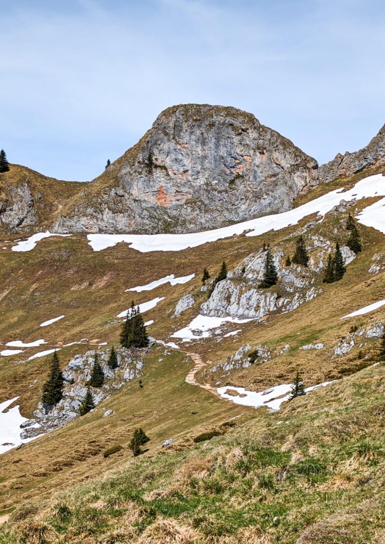
From the Bodenschneidhaus, the trail takes on a more adventurous character. Prepare for a partly stony path with rocky steep steps leading to the promising summit of Bodenschneid (1’668 m). Traverse a rope-secured section and conquer a short gully, adding an element of excitement to your ascent. While the climb demands sure-footedness, the unparalleled views awaiting you make every step worthwhile.

The Neuhaus to Boden Schneid hiking trail promises an exhilarating day trip filled with natural beauty, challenges, and triumphs. Immerse yourself in the allure of the Schlierseer mountains, from tranquil forest paths to adrenaline-pumping rocky ascents. Climb the Bodenschneid and stand atop a world of awe-inspiring views, a testament to your adventurous spirit. Experience the magic of Bavaria’s alpine wonderland on this unforgettable journey.

Points of interest: 
Starting point: Neuhaus Bahnhof
Starting altitude: 810 m/alt
Highest altitude: 1’668 m/alt
Elevation gain: 841 m
Share this guide

Questions and comments

Ask me about this hike

Leave a comment or a trail report

Your email is never shown. A first comment appears once I have read it.

Trail report

Through my lens

More from Germany

All my photographs

Keep exploring

More from Bavarian Alps

All Germany guides
Granit Temaj

Get my new stories by email

Be the first to know when I come back from the mountains with a new route.

You will get one email to confirm. Unsubscribe any time. Privacy

Read the guide

Trail alerts

An email when someone reports how the path is, or when I update the guide. Nothing else, and one click stops it.

You confirm it by email first. Your address is used for these alerts only. Privacy

License this photograph

Tell me what it is for. I answer within a few days with a price and the licence.

Your name and email are used only to answer this request.

Newsletter

Get my new stories by email

Be the first to know when I come back from the mountains with a new route.

You will get one email to confirm. Unsubscribe any time. Privacy