Ah, the call of the mountains! There’s something utterly magical about trekking through the snow-blanketed landscapes of the Austrian Alps, especially when your path leads you from Eben am Achensee to the spectacular Ebner Joch. This winter hike is not just a journey; it’s an adventure that promises breathtaking views, a touch of adrenaline, and the tranquil beauty of nature’s winter attire. Whether you’re a seasoned hiker or someone looking to dip their toes into mountain adventures, this trail offers an unforgettable experience, combining serene beauty with the thrill of alpine exploration. So, lace up your hiking boots, and let’s dive into what makes this trek a must-try winter escapade.
How to Get There
By Car: The journey to Eben am Achensee is a scenic drive, no matter where you’re coming from. If you’re zipping down the Munich-Innsbruck motorway, take the Wiesing/Achensee/Zillertal exit. This route guides you through Wiesing towards Achensee and leads you to Eben. Keep your eyes peeled for the hospital; right at that level, you’ll find a paid hiking car park on the left side of the street.
For those taking the scenic route via Tegernsee, Kreuth, and Maurach to Eben, you’re in for a treat. The drive itself is part of the adventure, offering stunning views that’ll have you pulling over for photos more than once.
By Public Transport: Not everyone’s a fan of driving, and that’s cool because the public transport options are pretty solid. Catch a train from Munich via Rosenheim or Kufstein to Jenbach. Make sure to check the timetable and book your tickets in advance to avoid any last-minute hiccups. From Jenbach, hop on bus line 8332, which will drop you off right at the Eben am Achensee stop, Haus St. Notburga. It’s the starting point for your hike, so you can’t miss it. Again, peek at the timetable info beforehand to make sure you’ve got your timings all sorted.
Geo Coordinates: For the tech-savvy adventurers out there who navigate by coordinates, punch in 47.41379, 11.765601 into Google Maps, and voilà, you’ll be directed right to the start of your journey.
About the Ebner Joch Hike
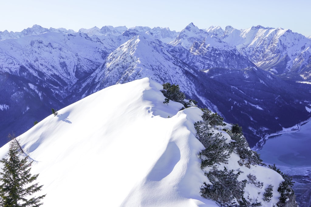
Character: This hike isn’t just a walk in the park. It’s a mountain hike that takes you to the Astenau Alpe before reaching the summit of Ebner Joch. With an elevation of 1957 meters, it demands a bit of sure-footedness, especially on two steep sections. However, don’t let that deter you; it’s generally not a difficult path. A pro tip for summer hikers: it can get quite warm in the southern mountain pine fields, so an early start is recommended to beat the heat.
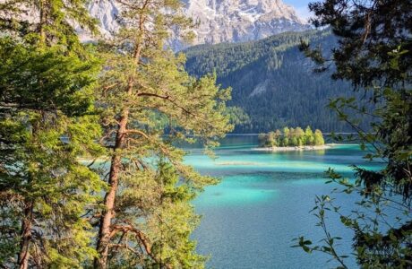
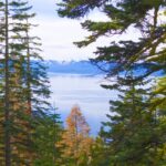
The Journey: Your adventure begins across from the hiking car park, where you’ll soon find yourself on a wide forest path. Shortly after, a right turn takes you onto a narrow path leading into sparse mountain forests, interspersed with scree gullies offering your first majestic views of the Inn Valley and Kellerjoch.
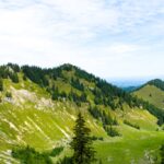
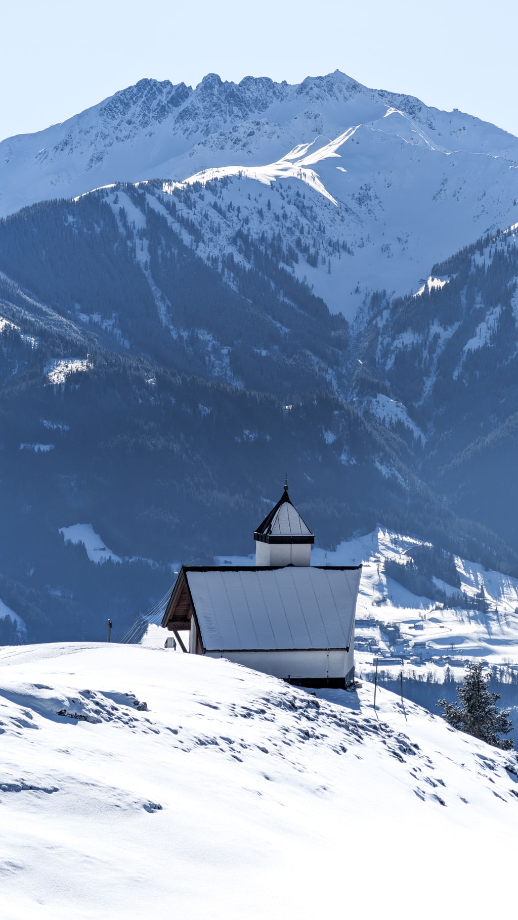
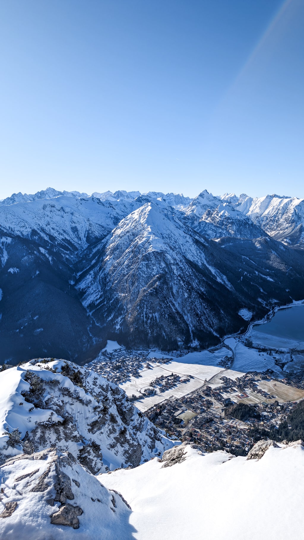
As you continue, the forest reveals the Astenau Alpe, complete with a quaint chapel and the mountain pine-covered summit of Ebner Joch in the distance. Passing the alpine farm, you’ll encounter a signpost pointing you towards Latschengasse, guiding you to the summit.
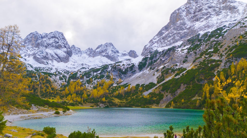
The initial part of this section includes two steep steps that challenge your climbing skills but fear not; the path becomes more forgiving as you ascend amidst towering mountain pines. You’re given a choice at a junction: a direct, steep path or a gentler route. Either way leads you to breathtaking views, culminating in the summit cross of Ebner Joch. Here, the panoramic vistas of the Karwendel, the Rofan, the Inn Valley, and the Zillertal Alps are your reward, a sweeping spectacle that’s well worth the effort.
Descent: What goes up must come down, and for this hike, the descent is the same as your ascent. It offers you a chance to retrace your steps and maybe catch sight of some scenic spots you missed on your way up.
So, there you have it, folks! Whether you’re driving or taking public transport, getting to the starting point is part of the adventure, and the hike itself is a journey through stunning alpine landscapes, challenging paths, and breathtaking views. Pack your bags, prepare your spirit, and set off on an adventure that promises to be both exhilarating and serene.
Points of interest:
Starting point: Eben am Achensee ( 47.41379, 11.765601)
Total distance: 7.4 km
Elevation gain: 970 m
Highest peak: Ebner Joch (1’957 m)
Here is the wikiloc trail:
You can buy me a beer to support me and my content! 🍺
Bavaria Forest Hiking Lake Mountains
Last modified: September 22, 2025