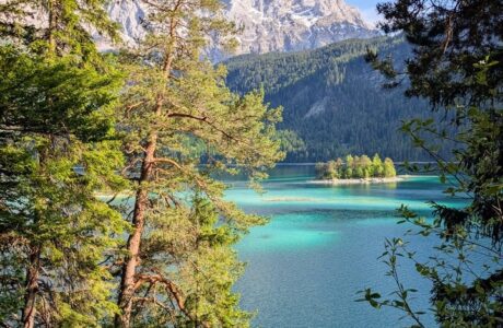
Bistra, is the third highest peak in Kosovo, after Gjeravica and Rudoka. It is located on the border between Kosovo and Macedonia, with an elevation of 2’651 m/alt. There are a few trails where you can hike this peak, but the most common are from Prevalla, through Lumbardh river spring, or through Jazhinca lake. The path to Jazhinca lake, I’ve described in another blog post, therefore in this blog, I will describe the trail from Prevalla, through Lumbardh water spring to Bistra.
How to get there
The starting point for this trail is near the touristic village of Prevalla, Prizren, and there are two ways to get to Prevalla.
The first way is from the city of Prizren, you will go through some villages like Recan, Musnikovo, Sharr Mountains range, and finally, in Prevalla, the distance is 26 km.
The other way is to go through Shterpce. Once you arrive in Shterpce you continue to Brezovica, and after that follow the road to Prevalla. The distance from Brezovica to Prevalla is 21 km.
About the Prevalla to Bistra hike
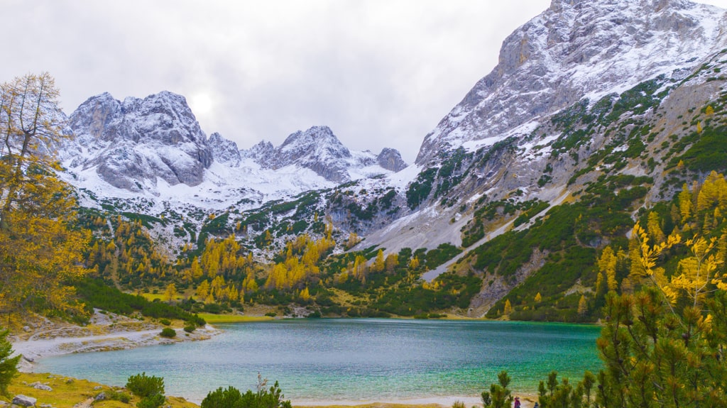
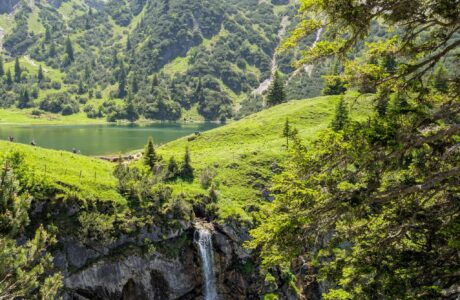
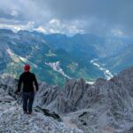
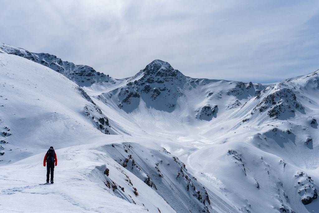
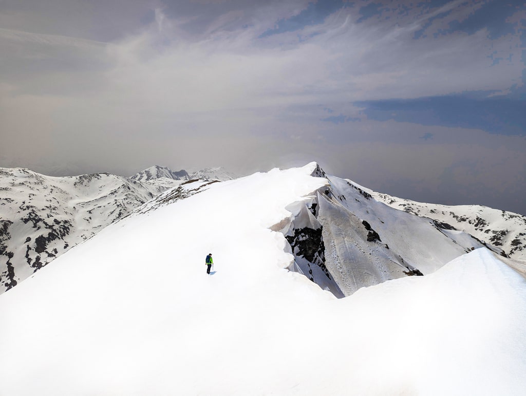
As mentioned before you will start the hike from Prevalla. First, you will go through an unpaved road for 500 m, after this, you continue ascending the hill in your left. You will go through a meadowy terrain for more than 3 km. After 3 km, you will have a water source, the Lumbardh river spring, really cold water and this is the last water source. As soon as you ascend the hill you need to turn left and follow the ridge, which is around 1 km long. Through the ridge is the border between Kosovo and Macedonia. After all, you will reach the 2’651 m/alt peak. When you reach it, the view is amazing, there you can enjoy the view of Oshlak peak, Sharr mountains ridge and below the Jazhinca lake too. In conclusion, the total distance of the hike is around 11.6 km.
There are several water sources during the hike, so take around 2 liters of water.
Points of interest:
Starting point: Prevalla, Kosovo
Starting altitude: 1’563 m/alt
Highest altitude: 2’651 m/alt
Elevation gain: 1’088 m/alt
Check out the summer trail, you can download and follow it:
And here you can find the winter trail:
Hiking Mountains Sharr Mountains
Last modified: October 9, 2025