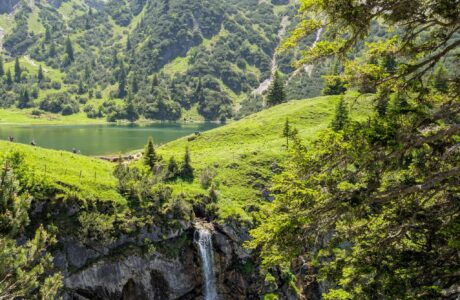
Kobilica is a very beautiful peak in Sharr mountains which can be seen from the city of Prizren in Kosovo and the city of Tetovo in Macedonia. The two other mountain peaks which can be seen are Treskavec peak (2’450 m/alt) and Vrtop peak (2’555 m/alt).
The sharp pyramidal shape of this mountain makes this mountain even more beautiful.
How to get to the starting point
There are several ways to get to the Kobilica peak, but here I will explain the path from Lubinjë e Epërme.
Lubinjë e Epërme is located in Sharr mountains, 15 km from Prizren. From Prizren, you take the road to Brezovica, and then in the bridge of Recan village, you turn right and follow the road to Lubinjë. In Lubinjë you can find the last minimarket where you can buy food or drinks.
The other way is going from Shterpca, Brezovica, then to the touristic village of Prevalla. When you arrive at the Recan village bridge you turn left and follow the road to Lubinjë.
About the Lubinjë e Epërme – Kobilica peak hike
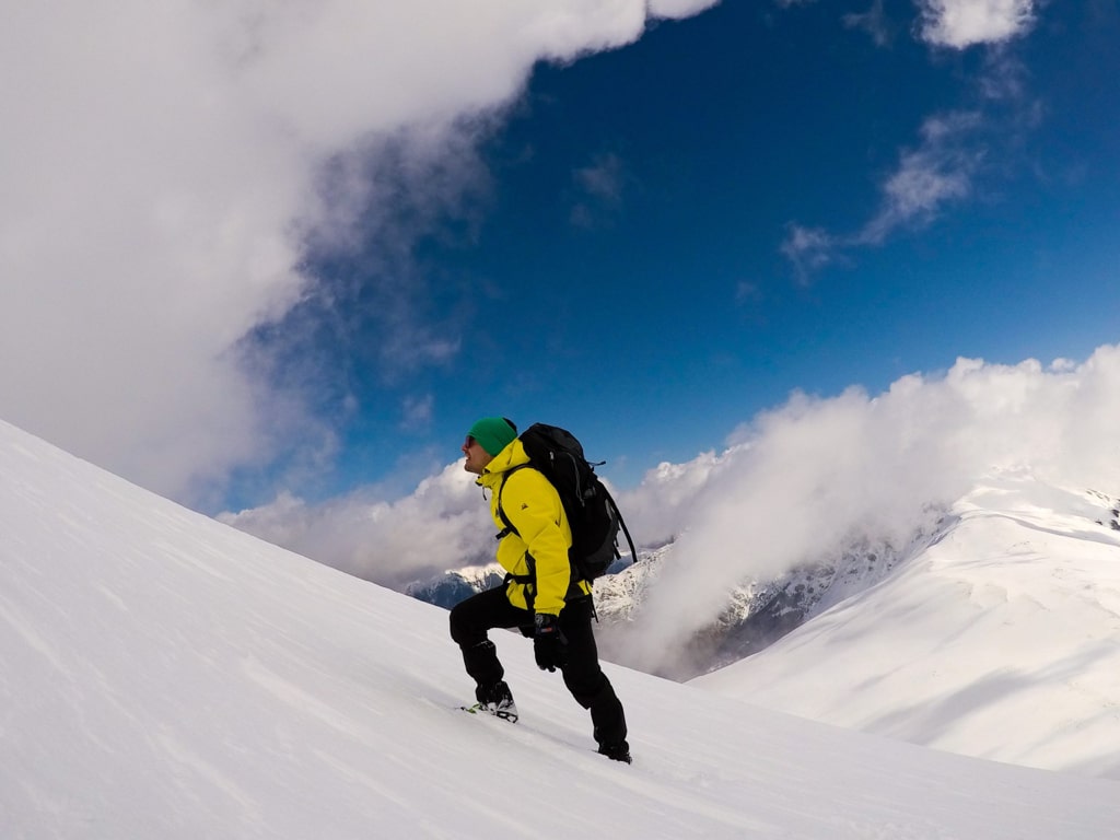
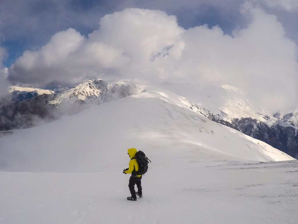
This is a moderate hike, but during the winter is difficult because of the snow (you may need crampons). The first 6 km, you will go through forests and you will elevate 674 m. After this, there is a mountain hut known as Stanet e Kforit, which was used from the army, but now is used by local mountaineers. Near this mountain hut, there is a water source, which is the last one. You continue in north-west trying to reach the ridge. I think this is the most difficult part, 600 m elevation in 2 km. After you reach the ridge, around 200 m left to elevate. I did this trail during the winter, and it was amazing. When you reach the peak, the views are amazing. You can see the city of Tetovo in Macedonia, Prizren in Kosovo, and Sharr Mountains range.
There are 2-3 water sources, therefore you may need 2-2.5 liters of water. The total distance of this trail is 15.07 km.
Points of interest:
Starting point: Lubinjë e Epërme, Kosovo
Starting altitude: 1’052 m/alt
Highest altitude: 2’528 m/alt
Elevation gain: 1’476 m/alt
You can download and follow the trail in wikiloc:
The trail is separated in 2 parts, the first one is from Lubinjë e Epërme to the Mountain hut, and the second one is from Mountain hut to the Kobilica peak and back to Lubinjë e Epërme.
Hiking Mountains Sharr Mountains
Last modified: October 9, 2025


[…] Kobilica is a very beautiful peak in Sharr mountains. The sharp pyramidal shape of this mountain makes this mountain even more beautiful. For more: Kobilica […]
[…] For more: Kobilica […]