Cape of Rodon, a great adventure in the Adriatic Sea

· updated · 2 min read
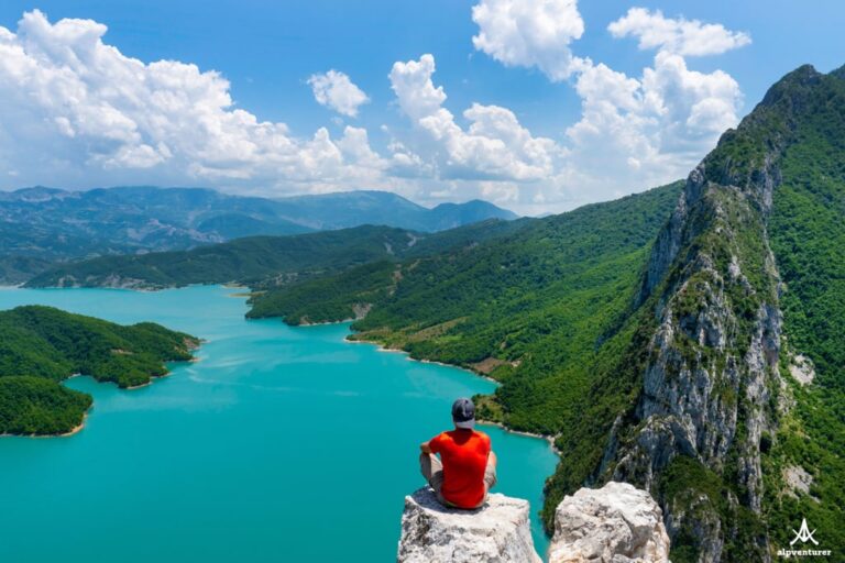
Green headland and pale cliffs at Cape of Rodon extend into the Adriatic Sea under a clear sky
Cape of Rodon, Albania
Distance
5.9 km
Ascent
+147 m
Descent
−189 m
High point
88 m
Season
Summeravoid noontime

The route

Cape of Rodon, on the map

From my own GPX track. Move along the elevation profile or along the line on the map: both show the same point.

Distance5.9km
Ascent+147m
Descent−189m
High point88m

Walking time at your paceAn estimate without breaks, worked out from the distance and the climb.

  • Relaxed2 h 25 min
  • Average1 h 55 min
  • Fast1 h 30 min

Elevation

Elevation profile of Cape of Rodon, a great adventure in the Adriatic SeaStarts at 41 m, climbs 147 m in total to a high point of 88 m after 1.1 km, and finishes at 0 m; 5.9 km in all.0 m100 m0 km1 km2 km3 km4 km5 kmStartHigh point · 88 mFinish

How steep

  • 4.6 kmUnder 8%
  • 0.8 km8 to 15%
  • 0.3 km15 to 25%
  • 0.1 kmOver 25%

Embed this map

Paste this into your page or post (in WordPress: a Custom HTML block). The map stays up to date with the guide, and the link under it leads your readers to the full guide.

What to pack12 things, for a swim, the coast

Every hike

Water and sun

The light for photographs

Today at the high point: sunrise 06:17, sunset 16:33.

Today at the high point: sunrise 06:17, sunset 16:33.

At the high point, 88 m, in local time (Europe/Tirane), with an open horizon: the mountains around can hide the sun sooner.

In short

Cape of Rodon is a coastal walk in Albania, 5.9 km long with 147 m ascent and 189 m descent. The route reaches a high point of 88 m. Summer is the stated season, but avoid walking at midday because temperatures are very high.

Cape of Rodon, one of the best spots of the Adriatic Sea in Albania. The beautiful nature of this virgin cape makes it much more beautiful! 

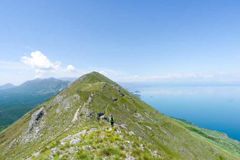
Green headland at Cape of Rodon extends into the Adriatic Sea under a clear blue sky

Located 57 km from the capital of Albania, Tirana and 49 km from Durres makes this Cape reachable for everyone. It is a very popular destination for the locals, who go there for a picnic and swimming into the Adriatic Sea.

How to get to Cape of Rodon

A hiker looks toward the Cape of Rodon peninsula at sunrise beneath dark clouds

There isn’t any public transport, in other words, you need to rent a car, or go by bike. The road is paved, so you don’t need to worry about your car.

At the entrance of the Cape, you need to pay for a ticket fee (around 1 EUR).

There are two ways to go to the Cape of Rodon. The first one is through “Gjiri i Lalezit” which is reachable from Durres and Tirana. The second way is through Shetaj village and then follow the road of “Gjiri i Lalezit”, but I would suggest the first one.

What to eat

There isn’t any restaurant near the Cape. There is a bar, but I would suggest getting some food and water in your backpack before going to the Cape.

Near the Cape, you can find a castle that was built on the 15th century and the Saint Anton church. During the summer, the temperatures are very high therefore avoid the noontime.

You can swim in both sides of the Cape, and the best beach to swim in the White Sand beach located near Saint Anton church. Check out the pictures from this beach:

A hiker stands waist deep in calm water beside a line of wooden posts at Cape of Rodon

Walking through the Cape is magic. What I strongly suggest, is to wait for the sunset, because sunsets from the top of the Cape are magic! While you are enjoying the sunset, you can take breathtaking pictures.

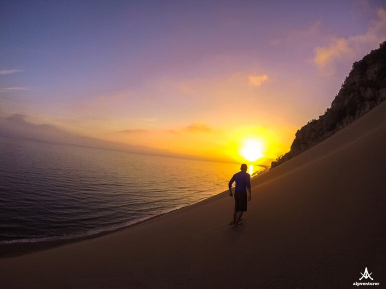
Sunset over the Adriatic Sea at Cape of Rodon, with a gnarled tree silhouetted on the rocky shore

Share this guide

Questions and comments

Ask me about this hike

Leave a comment or a trail report

Your email is never shown. A first comment appears once I have read it.

Trail report

Through my lens

From this walk

All my photographs

Keep exploring

More from Adriatic Sea

All Albania guides
Granit Temaj

Get my new stories by email

Be the first to know when I come back from the mountains with a new route.

You will get one email to confirm. Unsubscribe any time. Privacy

Read the guide

Trail alerts

An email when someone reports how the path is, or when I update the guide. Nothing else, and one click stops it.

You confirm it by email first. Your address is used for these alerts only. Privacy

License this photograph

Tell me what it is for. I answer within a few days with a price and the licence.

Your name and email are used only to answer this request.

Newsletter

Get my new stories by email

Be the first to know when I come back from the mountains with a new route.

You will get one email to confirm. Unsubscribe any time. Privacy