Scaling Heights: Climbing the Alpspitze via Ferrata from Osterfelderkopf

· updated · 2 min read
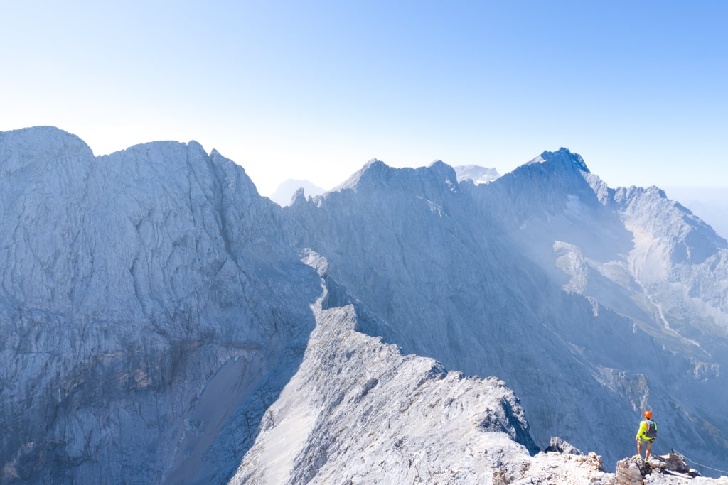
A hiker stands on a snowy ridge above steep Alpine peaks near the Alpspitze in clear morning light
Scaling Heights, Germany
Distance
5.0 km
Ascent
+750 m
Descent
−603 m
High point
2,628 m
Difficulty
Challenging

The route

Scaling Heights, on the map

From my own GPX track. Move along the elevation profile or along the line on the map: both show the same point.

Distance5.0km
Ascent+750m
Descent−603m
High point2,628m
DifficultyChallenging

Walking time at your paceAn estimate without breaks, worked out from the distance and the climb.

  • Relaxed5 h 25 min
  • Average4 h 20 min
  • Fast3 h 30 min

Elevation

Elevation profile of Scaling Heights: Climbing the Alpspitze via Ferrata from OsterfelderkopfStarts at 2,031 m, climbs 750 m in total to a high point of 2,619 m after 2.2 km, and finishes at 2,046 m; 4.7 km in all.2,000 m2,200 m2,400 m2,600 m0.0 km0.5 km1.0 km1.5 km2.0 km2.5 km3.0 km3.5 km4.0 km4.5 kmOsterfelderkopf mountain stationAlpspitze · 2,619 m

How steep

  • 1.4 kmUnder 8%
  • 0.8 km8 to 15%
  • 0.6 km15 to 25%
  • 1.9 kmOver 25%

In two parts

Embed this map

Paste this into your page or post (in WordPress: a Custom HTML block). The map stays up to date with the guide, and the link under it leads your readers to the full guide.

What to pack15 things, for a summit, chains or scrambles

Every hike

For the summit

Chains and scrambles

The light for photographs

Today at Alpspitze: sunrise 06:57, sunset 17:00.

Today at Alpspitze: sunrise 06:57, sunset 17:00.

At Alpspitze, 2,619 m, in local time (Europe/Berlin), with an open horizon: the mountains around can hide the sun sooner.

In short

The Alpspitze via ferrata starts at Osterfelderkopf mountain station in the Wetterstein Mountains. The 5 km route gains 750 m and reaches the 2,628 m summit; it is challenging and requires a head for heights and sure-footedness. The route is marked and includes sections graded B, A/B and A.

For adventure seekers and climbing enthusiasts, the Alpspitze via Ferrata beckons, a classic route through the captivating Wetterstein Mountains. This alpine escapade provides a blend of exhilarating ascents and breathtaking rocky vistas. With the starting point at Osterfelderkopf mountain station (2030 m) and the peak at Alpspitze (2628 m), it’s a journey that demands a head for heights and sure-footedness.
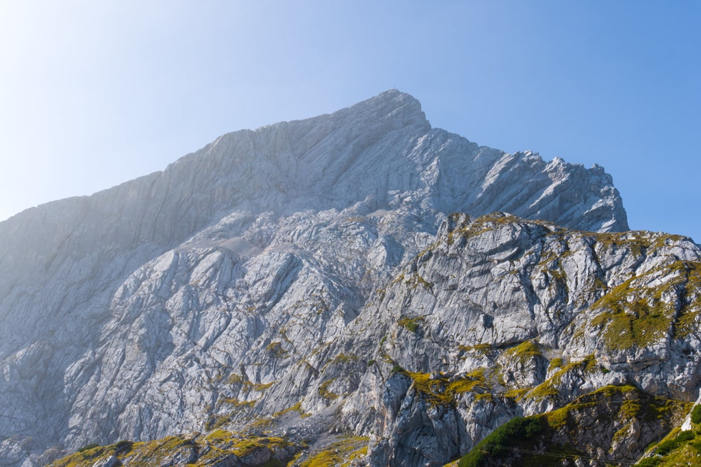
Alpspitze Alpventurer

How to get there

By Car: Drive through Oberau from the Munich-Garmisch motorway, taking the Wetterstein Mountains exit. As you near Garmisch, head left towards Alpspitzbahn (well-marked) before reaching the town’s end. Park at the valley station and take the cable car to Osterfelderkopf mountain station (33.5 EUR for roundtrip, 10/2023). If hiking, allocate an additional 3 hours for the ascent.

By Bus & Train: Board the Bavarian Regiobahn from Munich’s central station to Garmisch. From Garmisch train station, take bus line 2 to the Kreuzeck/Alpspitzbahn stop.

About the Alpspitze Climb
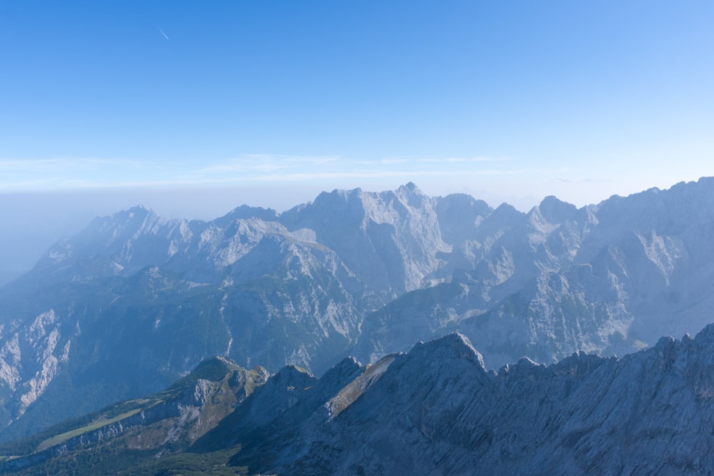
Alpspitze Alpventurer

The journey commences at the Osterfelderkopf mountain station, perched at an elevation of 2030 meters. As we gear up for this thrilling adventure, we are equipped with our indispensable rockfall helmet and Via Ferrata gear. The route is well-marked and involves a mix of challenging passages (B) and relatively more manageable sections (A/B and A).

The Alpspitze via Ferrata unfolds with a series of exhilarating climbs and descents. The North Face offers an adrenaline-pumping ascent with short, moderately tricky passages (B), while the descents present their own set of alpine challenges. The path through Oberkar and Nordwandsteig, as well as the descent into the Mathaisenkar, demands caution and agility.

The climb is characterized by iron aids and secured routes, showcasing the grandeur of the Wetterstein Mountains. The ascent begins with a steep entry wall (B) followed by varied terrain, including a mix of vertical walls and rock barriers (A/B). As you navigate these terrains, the summit cross of Alpspitze unveils itself, offering an awe-inspiring panorama of Garmisch-Partenkirchen.

Upon reaching the summit, a sense of triumph envelops you, underscored by the challenging yet rewarding journey. The descent offers several options, each providing a unique perspective of the stunning alpine landscape. Whether it’s descending via the Mathaisenkar, the East Ridge, or the Nordwandsteig, each route promises an adventure of its own.

Points of Interest:

  • Starting point: The Restaurant Alpspitze
  • Total distance: 5 km
  • Starting altitude: 2030 m/alt
  • Highest altitude: Alpsptize (2628 m)
  • Elevation gain: 750 m

Share this guide

Questions and comments

Ask me about this hike

Leave a comment or a trail report

Your email is never shown. A first comment appears once I have read it.

Trail report

Through my lens

More from Germany

All my photographs

Keep exploring

More from Bavarian Alps

All Germany guides
Granit Temaj

Get my new stories by email

Be the first to know when I come back from the mountains with a new route.

You will get one email to confirm. Unsubscribe any time. Privacy

Read the guide

Trail alerts

An email when someone reports how the path is, or when I update the guide. Nothing else, and one click stops it.

You confirm it by email first. Your address is used for these alerts only. Privacy

License this photograph

Tell me what it is for. I answer within a few days with a price and the licence.

Your name and email are used only to answer this request.

Newsletter

Get my new stories by email

Be the first to know when I come back from the mountains with a new route.

You will get one email to confirm. Unsubscribe any time. Privacy