
Embark on a captivating journey to the Rotwand, a celebrated peak in the Munich foothills of the Alps, via the lesser-known but breathtaking Pfanngraben route. This trail meanders alongside the serene Valepp and a picturesque mountain stream, leading directly to the Rotwandhaus, nestled just below the summit. Renowned as an “insider tip,” this path offers an enchanting summer hike without significant technical challenges, perfect for those seeking to escape the well-trodden paths. Strap on your hiking boots and prepare for a journey that not only challenges your physical stamina but also enchants with its natural beauty and tranquil surroundings.

How to Get There
- By Public Transport: Take the Bavarian Oberlandbahn (BOB) to Fischhausen-Neuhaus, then switch to the RVO bus 9562 to the Spitzingsee Kirche stop.
- By Car: Navigate to Spitzingstraße 3, 83727 Schliersee. From Munich, follow the Salzburg motorway, exit at Weyarn, and continue through Miesbach and Hausham to Neuhaus, then on to Spitzingsee.
Geo Coordinates of the Starting Point: 47.672208, 11.886435 (open in Google Maps)
About the Rotwand Hike

Character: The hike to Rotwand via Pfanngraben is a beautifully scenic route that begins easily and grows moderately challenging, making it suitable for most hikers who are ready for a full day’s trek.
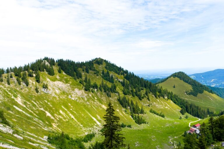
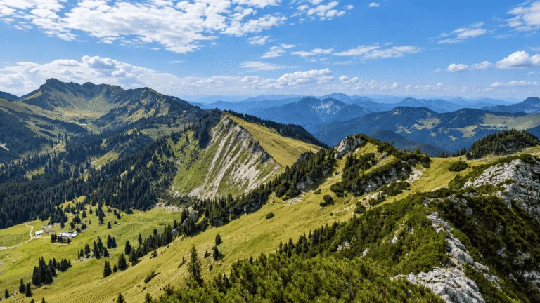
The Ascent via Pfanngraben: Starting from the Spitzingsee parking lot, the hike takes us south past an old hunter’s lodge. After bypassing a barrier, follow the trail marked “Rotwandhaus, 4h” leading up to the Rotwand. Initially on a tar road, the route soon diverges to a forest path, weaving through the Albert Link Hut and crossing picturesque landscapes alongside the Valepp stream. The trail, adorned with charming pools shaped like pans, offers a mix of gentle ascents and steeper climbs, culminating in expansive alpine pastures.
Summit Experience: Upon reaching the saddle near Rotwandhaus, a short hike leads to the Rotwand summit at 1884m. Here, hikers are rewarded with panoramic views of surrounding peaks like the Ht. Sonnwendjoch and Schinder. The summit experience is a mix of exhilaration and contemplation, standing atop one of the most iconic peaks in the region.
Descent: Retrace your steps back to Spitzingsee, enjoying the varying perspectives of the landscape and possibly stopping at Rotwandhaus for a refreshment before completing your journey.
Points of Interest:
- Starting Point: Spitzingsee parking lot church (1080m)
- Total Distance: 18 km
- Elevation Gain: 950 m
- Highest Peak: Rotwand (1884m)
The Rotwand hike via Pfanngraben is not just a hike; it is an invitation to explore the lesser-seen beauties of the Bavarian Alps. This route promises a perfect blend of adventure, tranquility, and scenic beauty, making it an ideal choice for those looking to experience the Alps away from the crowds. Prepare for your trek with appropriate hiking gear, adequate water, and snacks. Happy hiking and enjoy the unforgettable experience of reaching the Rotwand summit!
Prepare for Your Adventure: Ensure you are well-prepared with the right gear and supplies for a day-long hike. Check the weather conditions as mountain weather can change swiftly, and remember, the journey to Rotwand is about discovering the majestic tranquility of nature and embracing the spirit of adventure.


Leave a comment or a trail report