The Kufstein Four Lakes hike is an easy 11.59 km loop in Kufsteinerland, Austria, visiting Pfrillsee, Längensee, Hechtsee and Egelsee. Starting and finishing at Kufstein Bahnhof, it takes 3 h of moving time, with 300 m of ascent and a high point of 650 m.
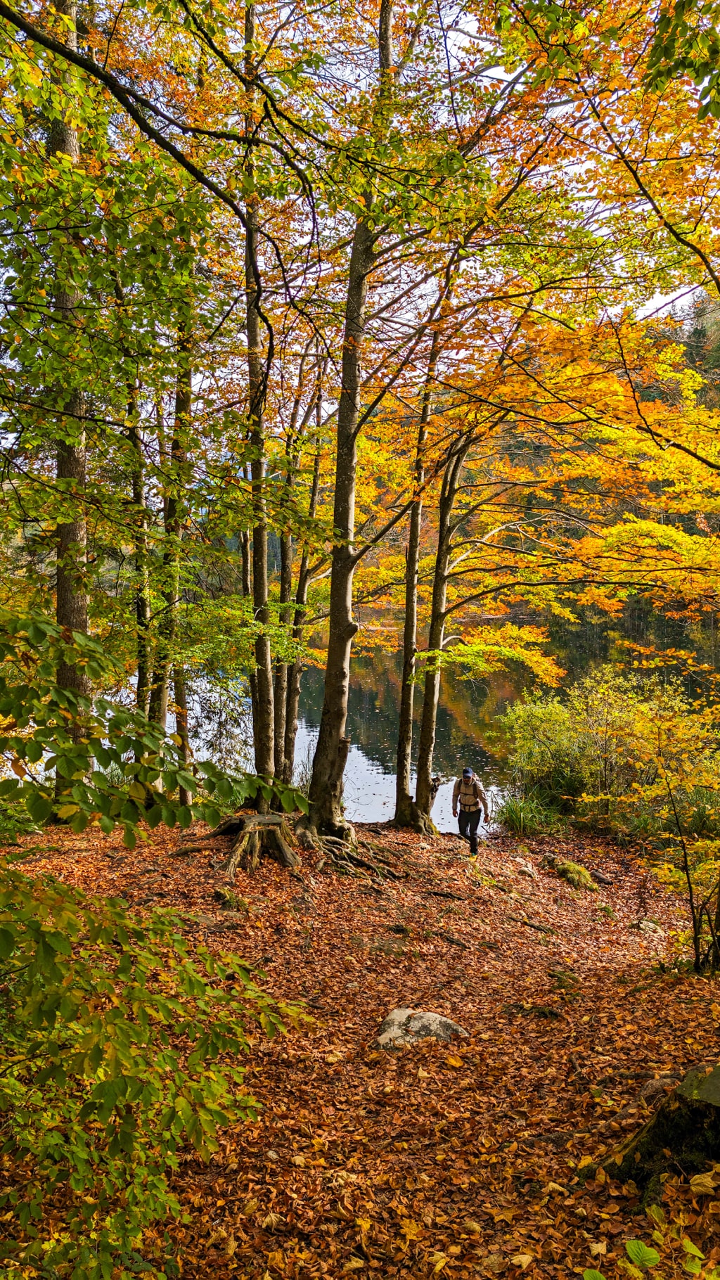
I did this hike at the end of October 2023. The paths were smooth, and I highly recommend doing it in autumn.
Points of interest
| Detail | Kufstein Four Lakes hike | |—|—| | Starting point | Kufstein Bahnhof | | End point | Kufstein Bahnhof, returning via Morsbach | | Starting altitude | 500 m | | Distance | 11.59 km | | Elevation gain | 300 m | | Highest point | 650 m | | Moving time | 3 h | | Difficulty | Easy | | Trail type | Loop | | Parking | Parking area near Kufstein Bahnhof | | Water | No water sources; carry around 1 to 1.5 liters | | Food | Restaurant at Hechtsee; shops in Kufstein | | Recommended season | Autumn |
How to get to Kufstein Bahnhof
By car from Munich
Take the A8 autobahn, then continue on the A93 towards Inntal/D and Kufstein. The drive from Munich usually takes around 1 h 30 min to 2 h, depending on traffic.
Park in the parking area near Kufstein Bahnhof. The station is the start and finish of the loop.
By train from Munich
Take a direct train from Munich Hauptbahnhof to Kufstein. The trip takes approximately 1 h 30 min to 2 h, making this a practical day hike from Munich without a car.
Kufstein has many shops, so you can pick up food and water before starting.
About the Kufstein Four Lakes hike
The route links four lakes on forest paths, passing through Morsbach on the way out and back. It is an easy walk with gentle terrain, but it still adds up to 300 m of ascent.
Kufstein Bahnhof to Pfrillsee
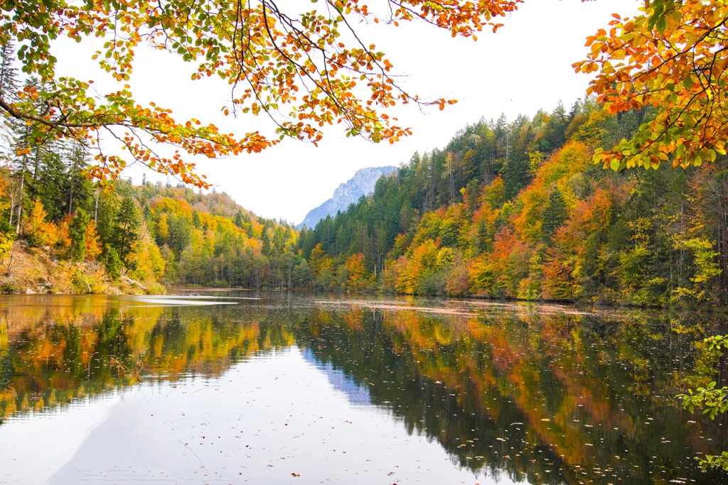
Start at Kufstein Bahnhof, at 500 m, and head through the Morsbach district. The route passes horse-riding stables and enters the woodland before reaching Pfrillsee.
Pfrillsee to Längensee and Hechtsee
Continue along the forest path to Längensee and follow the trail around the lake. At the crossroads, turn left towards Hechtsee.
There is a restaurant at Hechtsee with a view over the water. This is the food stop along the route.
Hechtsee to Egelsee
Keep left as you continue from Hechtsee until you reach a large meadow. From there, follow the route towards Egelsee, which is a protected area.
Return via Hechtsee and Morsbach
From Egelsee, return towards Hechtsee, then follow the path into the forest. This joins the Hechtsee connecting path.
After approximately 600 m, the trail curves above the Inn and Federal Highway 171. Continue back through Morsbach and return to Kufstein Bahnhof to complete the loop.
Water and food on the Kufstein lakes route
There are no water sources along the route. Take around 1 to 1.5 liters of water.
You can buy supplies in Kufstein before setting off. Along the hike, there is a restaurant at Hechtsee overlooking the lake.
Best time to hike the Kufstein lakes
My visit was at the end of October 2023, and autumn is the season I would recommend for this walk. The route was easy to walk, with smooth paths and no tricky sections.
More walks in Austria
Frequently asked questions
How long is the Kufstein Four Lakes hike?
The loop is 11.59 km long, with 300 m of ascent. It starts and finishes at Kufstein Bahnhof.
How long does the Kufstein Four Lakes hike take?
Our moving time was 3 h. Allow extra time for stops at the lakes or the restaurant at Hechtsee.
Is the Kufstein Four Lakes hike difficult?
It is an easy hike on smooth paths, with no tricky sections. The route starts at 500 m and reaches a high point of 650 m.
Is there drinking water on the route?
There are no water sources along the route. Carry around 1 to 1.5 liters of water.
When is the best time to hike the four lakes in Kufstein?
I did this hike at the end of October 2023 and highly recommend autumn.
Can you reach the hike by train from Munich?
Yes. Direct trains from Munich Hauptbahnhof to Kufstein take approximately 1 h 30 min to 2 h, and the loop starts at Kufstein Bahnhof.
Leave a comment or a trail report