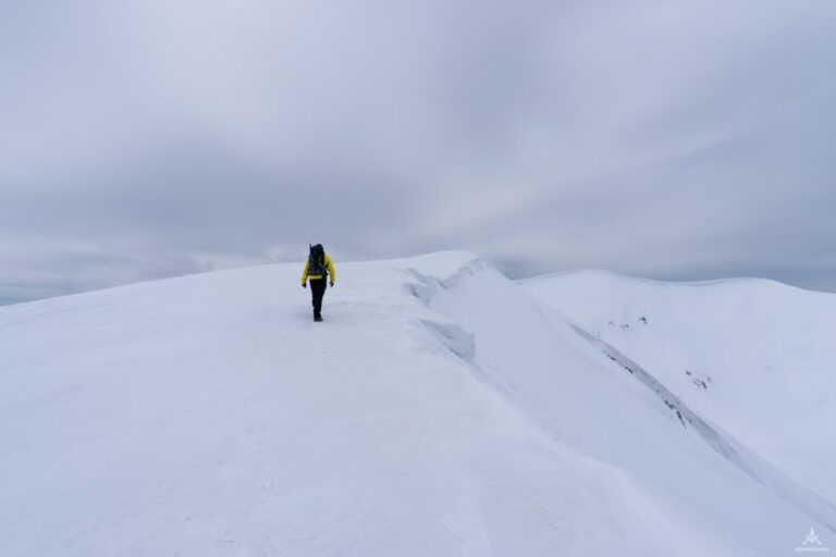
Pashtrik, the legendary mountain 1987 m/alt

· updated · 2 min read
A hiker stands on a grassy, rocky slope above cloud-filled valleys on Pashtrik
Pashtrik, Albania
Distance
28.4 km
Ascent
+1,499 m
Descent
−10 m
High point
1,987 m
Difficulty
Moderate
Season
Any season

The route

Pashtrik, on the map

From my own GPX track. Move along the elevation profile or along the line on the map: both show the same point.

Distance28.4km
Ascent+1,499m
Descent−10m
High point1,987m
DifficultyModerate

Walking time at your paceAn estimate without breaks, worked out from the distance and the climb.

  • Relaxed12 h
  • Average9 h 35 min
  • Fast7 h 40 min

Elevation

Elevation profile of Pashtrik, the legendary mountain 1987 m/altStarts at 488 m, climbs 1,499 m in total to a high point of 1,069 m after 6.4 km, and finishes at 1,058 m; 27.9 km in all.500 m1,000 m1,500 m2,000 m0 km5 km10 km15 km20 km25 kmKushninPashtrik peak · 1,069 m

How steep

  • 24.2 kmUnder 8%
  • 3.4 km8 to 15%
  • 0.2 km15 to 25%
  • 0.0 kmOver 25%

Embed this map

Paste this into your page or post (in WordPress: a Custom HTML block). The map stays up to date with the guide, and the link under it leads your readers to the full guide.

What to pack14 things, for a summit, a long day

Every hike

For the summit

For a long day

The light for photographs

Today at Pashtrik peak: sunrise 06:09, sunset 16:33.

Today at Pashtrik peak: sunrise 06:09, sunset 16:33.

At Pashtrik peak, 1,069 m, in local time (Europe/Tirane), with an open horizon: the mountains around can hide the sun sooner.

In short

Pashtrik is a mountain on the Albania-Kosovo border, and this route starts in Kushnin. The hike is 28.4 km with 1,499 m of ascent to the 1,987 m summit. It is moderate and can be hiked in any season, but the mountain is dry, so bring 2-3 litres of water.

Pashtrik Mountain, standing tall at 1987 meters, straddles the border between Kosovo and Albania. This legendary mountain holds historical significance due to the 1999 Kosovo War, where numerous hostilities took place in its vicinity. Visible from the cities of Prizren and Gjakova in Kosovo and Kukes in Albania, Pashtrik is renowned for its majestic presence. As a native of Prizren, the mountain holds a special place in my heart, offering breathtaking views from my hometown.

A hiker overlooks the Pashtrik mountain range beneath a double rainbow and cloudy evening sky

How to Get There

Pashtrik Mountain can be ascended from various paths in both Albania and Kosovo. In Albania, you can start from the village of Kishaj in the Has district or from Kruma. In Kosovo, the ascent begins from the villages of Kushnin or Planeja. Below, I detail the route from Kushnin to Pashtrik’s peak.

To reach Kushnin, drive from either Gjakova or Prizren. From Prizren, follow the road through Gjonaj (Has), Krajk, Romaja, Dedaj, and finally to Kushnin. Daily buses also operate between Prizren and Kushnin. Once in Kushnin, head towards the village school where the trail begins. If you have a 4×4 vehicle, you can drive further along the unpaved but passable trail.

The Kushnin – Pashtrik Peak Hike

A hiker stands on a grassy, rocky slope above cloud-filled valleys on Pashtrik

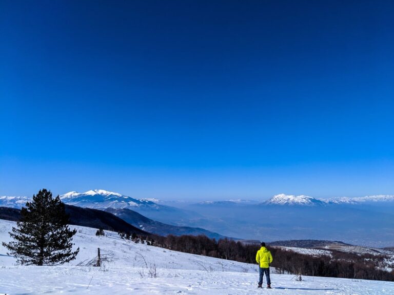
The hike from Kushnin to Pashtrik peak is moderate but lengthy. Initially, the trail leads through a forest to the border between Albania and Kosovo, offering beautiful meadow terrains and 360-degree views. The route then enters another forest, followed by a picturesque rocky path leading to a mountain hut, perfect for a rest before the final ascent. The last hill is the most challenging part of the hike, but the reward at the summit is worth it. From the top, enjoy stunning views of Prizren, Kukes, the Gjallica and Koretnik mountains, and parts of the Sharr Mountains range. The summit also features the Pashtrik shrine, a significant landmark in the region. The total trail distance is 28.36 km.

Hiking Tips

The mountain is quite dry, so bring 2-3 liters of water.
Suitable for hiking in any season.

Points of Interest

Starting Point: Kushnin Has, Kosovo
Starting Altitude: 488 meters
Highest Altitude: 1987 meters
Elevation Gain: 1499 meters

Experience the legendary Pashtrik Mountain, a journey through history and nature’s beauty!
Share this guide

Questions and comments

Ask me about this hike

Leave a comment or a trail report

Your email is never shown. A first comment appears once I have read it.

Trail report

Through my lens

From this walk

All my photographs

Keep exploring

More from Pashtrik Mountain

All Albania guides
Granit Temaj

Get my new stories by email

Be the first to know when I come back from the mountains with a new route.

You will get one email to confirm. Unsubscribe any time. Privacy

Read the guide

Trail alerts

An email when someone reports how the path is, or when I update the guide. Nothing else, and one click stops it.

You confirm it by email first. Your address is used for these alerts only. Privacy

License this photograph

Tell me what it is for. I answer within a few days with a price and the licence.

Your name and email are used only to answer this request.

Newsletter

Get my new stories by email

Be the first to know when I come back from the mountains with a new route.

You will get one email to confirm. Unsubscribe any time. Privacy