For the trail · alpventurer.com/pashtrik-legendary-mountain-1987m
Pashtrik, the legendary mountain 1987 m/alt
Pashtrik · Albania
- Difficulty
- Moderate
- Season
- Any season
- Water
- Bring 2–3 litres; the mountain is quite dry.
- Parking
- Free
In short
Pashtrik is a mountain on the Albania-Kosovo border, and this route starts in Kushnin. The hike is 28.4 km with 1,499 m of ascent to the 1,987 m summit. It is moderate and can be hiked in any season, but the mountain is dry, so bring 2-3 litres of water.
The route
- Distance
- 28.4 km
- Ascent
- +1,499 m
- Descent
- −10 m
- High point
- 1,987 m
- Lowest point
- 488 m
A Kushnin: 42.27516, 20.53090▲ Pashtrik peak: 42.24331, 20.50836
Walking time, without breaks
- Relaxed12 h
- Average9 h 35 min
- Fast7 h 40 min
How steep
- Under 8% 24.2 km
- 8 to 15% 3.4 km
- 15 to 25% 0.2 km
- Over 25% 0.0 km
What to pack
Every hike
- Water: about 4 litres (half a litre an hour)
- Rain jacket
- A warm layer (fleece or light down)
- Sun cap, sunglasses and sun cream
- Boots or trail shoes with good grip
- Phone with the map offline, and a power bank
- Small first aid kit
- Headlamp, in case it gets late
- Some cash and your ID
For the summit
- Hat and gloves: it is colder and windier at the top
- Walking poles, for the way down
For a long day
- Lunch, and a snack for every two hours
- Salty snacks or electrolytes
- Blister plasters
The guide
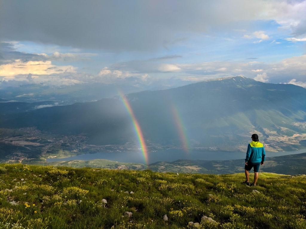
Pashtrik Mountain, standing tall at 1987 meters, straddles the border between Kosovo and Albania. This legendary mountain holds historical significance due to the 1999 Kosovo War, where numerous hostilities took place in its vicinity. Visible from the cities of Prizren and Gjakova in Kosovo and Kukes in Albania, Pashtrik is renowned for its majestic presence. As a native of Prizren, the mountain holds a special place in my heart, offering breathtaking views from my hometown.
How to Get There
Pashtrik Mountain can be ascended from various paths in both Albania and Kosovo. In Albania, you can start from the village of Kishaj in the Has district or from Kruma. In Kosovo, the ascent begins from the villages of Kushnin or Planeja. Below, I detail the route from Kushnin to Pashtrik’s peak.
To reach Kushnin, drive from either Gjakova or Prizren. From Prizren, follow the road through Gjonaj (Has), Krajk, Romaja, Dedaj, and finally to Kushnin. Daily buses also operate between Prizren and Kushnin. Once in Kushnin, head towards the village school where the trail begins. If you have a 4×4 vehicle, you can drive further along the unpaved but passable trail.
The Kushnin – Pashtrik Peak Hike
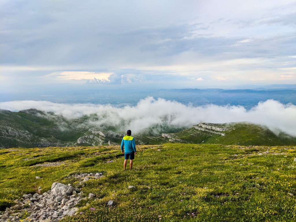
The hike from Kushnin to Pashtrik peak is moderate but lengthy. Initially, the trail leads through a forest to the border between Albania and Kosovo, offering beautiful meadow terrains and 360-degree views. The route then enters another forest, followed by a picturesque rocky path leading to a mountain hut, perfect for a rest before the final ascent. The last hill is the most challenging part of the hike, but the reward at the summit is worth it. From the top, enjoy stunning views of Prizren, Kukes, the Gjallica and Koretnik mountains, and parts of the Sharr Mountains range. The summit also features the Pashtrik shrine, a significant landmark in the region. The total trail distance is 28.36 km.
Hiking Tips
The mountain is quite dry, so bring 2-3 liters of water.
Suitable for hiking in any season.
Points of Interest
Starting Point: Kushnin Has, Kosovo
Starting Altitude: 488 meters
Highest Altitude: 1987 meters
Elevation Gain: 1499 meters
Experience the legendary Pashtrik Mountain, a journey through history and nature’s beauty!