Discover Jochberg: A Bavarian Gem Amidst Kochelsee and Walchensee

· updated · 2 min read
Clouds drift over Kochelsee and Walchensee, seen from the lightly snow covered slopes of Jochberg
Discover Jochberg, Germany
Distance
10.2 km
Ascent
+750 m
Descent
−755 m
High point
1,567 m
Difficulty
Easy

The route

Discover Jochberg, on the map

From my own GPX track. Move along the elevation profile or along the line on the map: both show the same point.

Distance10.2km
Ascent+750m
Descent−755m
High point1,567m
DifficultyEasy

Walking time at your paceAn estimate without breaks, worked out from the distance and the climb.

  • Relaxed6 h 35 min
  • Average5 h 15 min
  • Fast4 h 15 min

Elevation

Elevation profile of Discover Jochberg: A Bavarian Gem Amidst Kochelsee and WalchenseeStarts at 864 m, climbs 750 m in total to a high point of 1,562 m after 3.0 km, and finishes at 852 m; 9.5 km in all.1,000 m1,500 m0 km1 km2 km3 km4 km5 km6 km7 km8 km9 kmKesselberg parking lotJochberg · 1,562 m

How steep

  • 2.4 kmUnder 8%
  • 1.3 km8 to 15%
  • 4.2 km15 to 25%
  • 1.7 kmOver 25%

In two parts

Embed this map

Paste this into your page or post (in WordPress: a Custom HTML block). The map stays up to date with the guide, and the link under it leads your readers to the full guide.

What to pack13 things, for a summit, a swim

Every hike

For the summit

Water and sun

The light for photographs

Today at Jochberg: sunrise 06:57, sunset 16:59.

Today at Jochberg: sunrise 06:57, sunset 16:59.

At Jochberg, 1,562 m, in local time (Europe/Berlin), with an open horizon: the mountains around can hide the sun sooner.

In short

The Jochberg hike starts at the Kesselberg parking lot in Bavaria, between Kochelsee and Walchensee. This easy route covers 10.2 km, gains 750 m and reaches 1,567 m. The guide describes the trail and access by car or public transport.

Explore the serene beauty of Jochberg, a panoramic classic summit nestled between the captivating Kochelsee and Walchensee. This easy mountain hike promises breathtaking views and a tranquil escape into nature’s embrace. With a starting point at the Kesselberg parking lot, this adventure offers a delightful journey for hikers of all levels, making it a perfect addition to your Bavarian exploration.
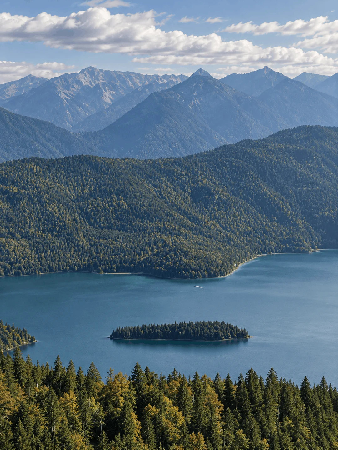
Walchensee from Jochberg

How to Get There

For those traveling by car, follow B 11 via Kochel towards Wallgau. Just before reaching Lake Walchensee, you’ll find the parking lot at Kesselberg (please note that parking spaces are limited, so arriving early is recommended). If you prefer public transportation, Kochel and Mittenwald are accessible by train from Munich. The RVO bus 9608 connects these towns, with a stop at “Kesselberg Passhöhe” for those coming from Kochel. For the return journey or for travelers coming from Mittenwald, the bus stops in Urfeld, as there is no stop at the pass’s top in that direction.

About the Jochberg Hike
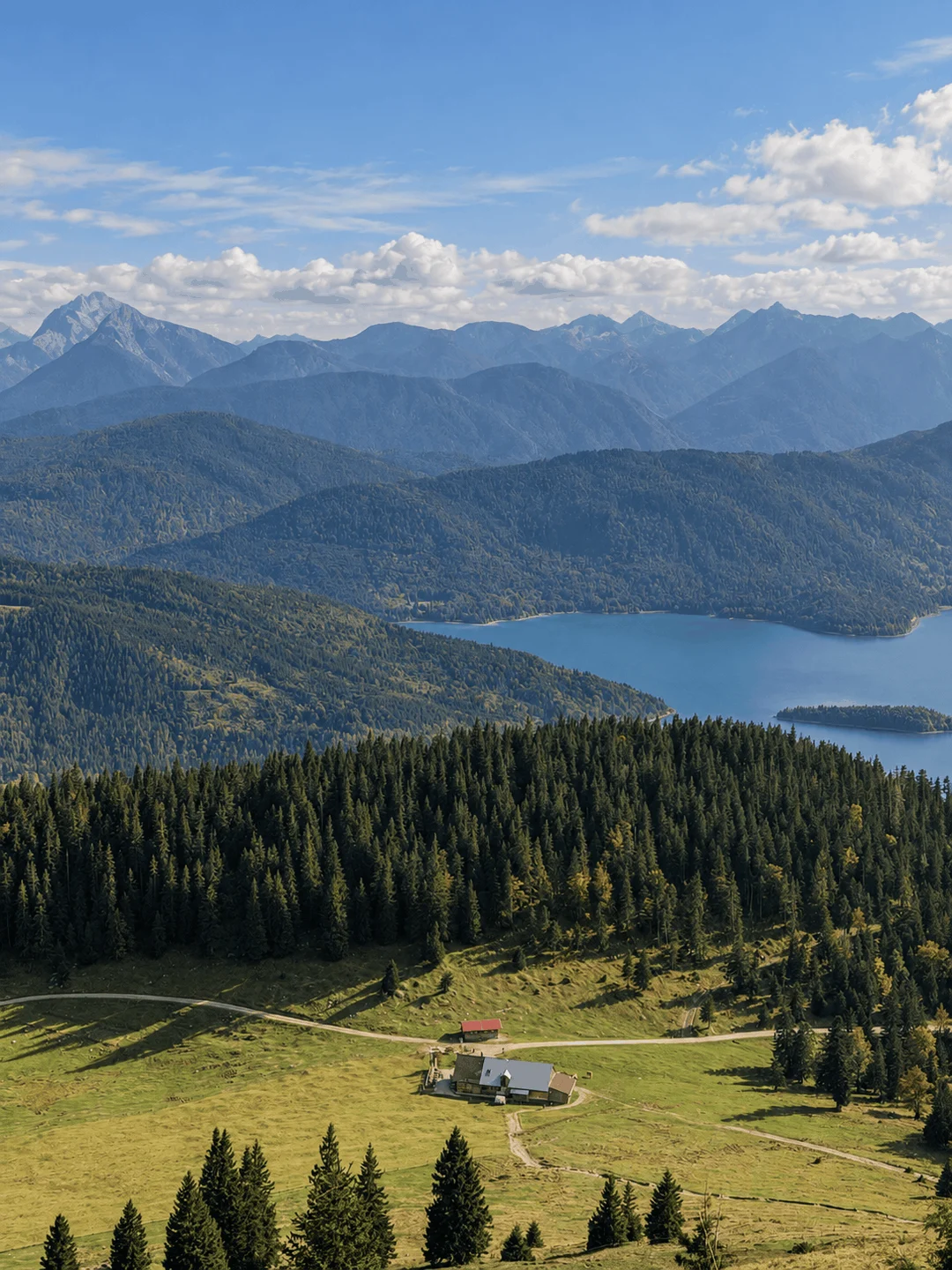
Jochberg Mountain

Your journey begins at the Kesselberg parking lot, and if you opt for a sunrise adventure, you’ll set out under the veil of darkness. The well-marked path takes you uphill, where moments of respite are few and far between. After about three-quarters of an hour, you’ll encounter a forested rest area and the junction to Jocheralm. However, your route veers left as you continue the ascent towards Jochberg. Throughout your hike, you’ll be treated to stunning views of the steep north face of Jochberg, with vistas of the Alpine foothills, Kochelsee, Riegsee, Staffelsee, and Starnberger See glistening below in the rising sun. As you ascend, the panorama expands to include Lake Ammersee, Benediktbeuern, and the towering peaks of the Karwendel Mountains, such as the Birkkarspitze, to the south. To the southwest, the Wetterstein Mountains, crowned by the Wettersteinspitze and the Zugspitze, come into view, while the Herzogstand and Heimgarten complete the 360-degree spectacle to the west. At the summit, the vista will captivate your senses, offering a well-deserved reward for your efforts.
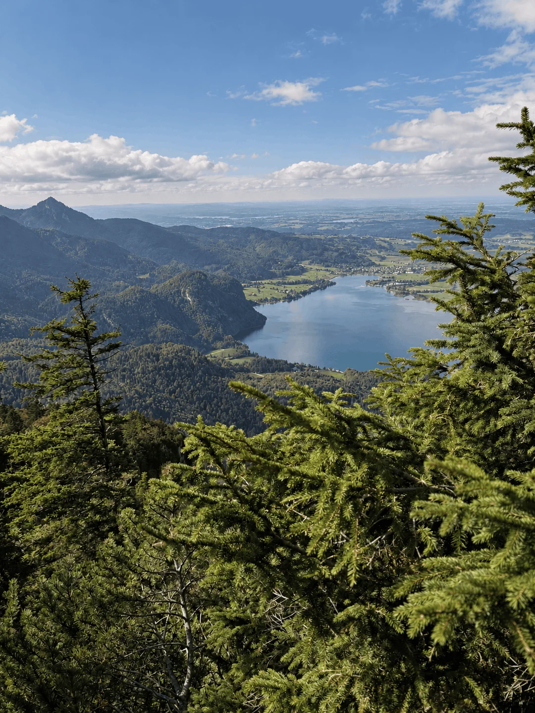
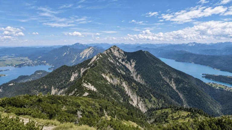
Hiking to Jochberg

In conclusion, the Jochberg hike offers an enriching adventure where nature’s wonders and breathtaking vistas take center stage. From the tranquil shores of Kochelsee to the grandeur of Walchensee, this Alpine journey promises an unforgettable experience for hikers of all levels. So, lace up your hiking boots, embark on this scenic escapade, and let the beauty of Bavaria’s Jochberg sweep you off your feet. Whether you seek solitude, panoramic views, or a new challenge, this mountain hike has it all, and it’s ready to welcome you with open arms.

Points of interest:

Starting point:  Parking lot at Kesselberg (850 m) (Google Maps)

Total distance: 10.2 km

Elevation gain: 750 m

Highest peak: Jochberg (1,567 m)

Share this guide

Questions and comments

Ask me about this hike

Leave a comment or a trail report

Your email is never shown. A first comment appears once I have read it.

Trail report

Through my lens

More from Germany

All my photographs

Keep exploring

More from Bavarian Alps

All Germany guides
Granit Temaj

Get my new stories by email

Be the first to know when I come back from the mountains with a new route.

You will get one email to confirm. Unsubscribe any time. Privacy

Read the guide

Trail alerts

An email when someone reports how the path is, or when I update the guide. Nothing else, and one click stops it.

You confirm it by email first. Your address is used for these alerts only. Privacy

License this photograph

Tell me what it is for. I answer within a few days with a price and the licence.

Your name and email are used only to answer this request.

Newsletter

Get my new stories by email

Be the first to know when I come back from the mountains with a new route.

You will get one email to confirm. Unsubscribe any time. Privacy
