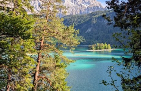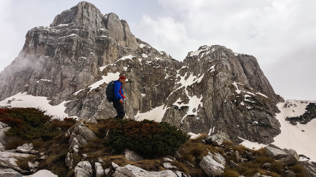
Cet Harusha peak (also known as Maja e Cet-Harushave) is located in the Valbona Valley National Park, in the Accursed Mountains (Prokletije). From this peak, you will have spectacular views of the Accursed Mountains, from Kollata to Maja Jezercë. The elevation of this peak is 2’421 m/alt.
How to get to Valbona Valley National Park
Valbona Valley is 22 km from the city called Bajram Curri. Reaching Bajram Curri from Tirana takes around four hours. The bus station in Tirana is in front of Asllan Rusi Sports Center.
Another way to reach Bajram Curri is from Prishtina, Kosovo. First, you go from Prishtina Main Bus Station to Gjakova Bus station and then from Gjakova take the bus to Bajram Curri.
Where to sleep and eat
In Valbona Valley there are a lot of Guest Houses, which are cheap, traditional, cozy and they serve you very delicious food. During the summer, the Guesthouses are usually full of tourists, so make sure to book them early.
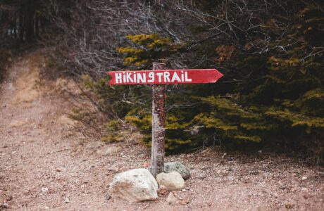
About the Valbona to Cet Harusha peak hike
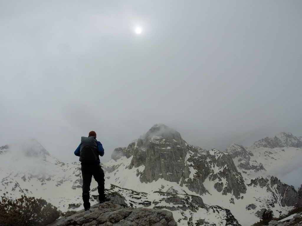
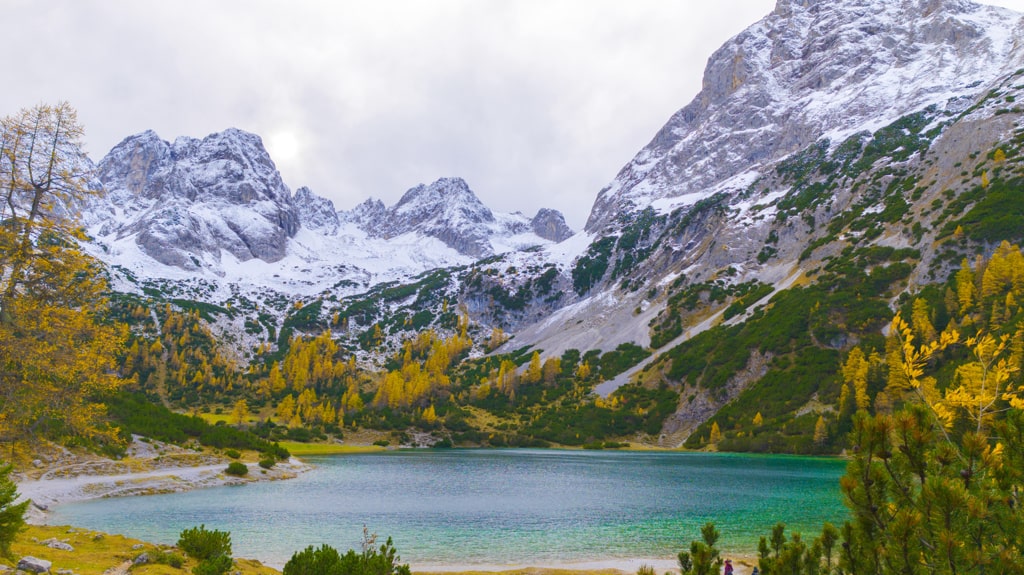
The only starting point which doesn’t require climbing skills, it is the one starting from near Hotel Margjeka. First, you will follow a sheep trail, and after that, you will go through a forest. There you can find the last water source. After the forest, you will climb a steep and rocky hill. The gradient is steep. Then you will go through a rocky trail, where you may need hands. You will keep ascending until you will reach the ridge. The view from the ridge is amazing. From there you can see the Kolata massif, and the Jezerca massif too. Stunning views! You will continue straight to the Cet Harusha peak (2’421 m/alt). During our hike, it was snowy and foggy. We couldn’t see the Valbona Valley, but it was the feeling that you are above the clouds.
This mountain is very dry, and there is only one water source, at the beginning of the trail, therefore you may need 3-4 liters of water. The total distance of this trail is around 17 km.
Points of interest:
Starting point: Valbona Valley, Albania
Starting altitude: 980 m/alt
Highest altitude: 2’421 m/alt
Elevation gain: 1’441 m/alt
You can check the wikiloc trail but this trail is not the original one. After 5.8 km, follow the red-white signs and they will lead you to the peak.
Accursed Mountains Hiking Mountains
Last modified: October 9, 2025