Bjeshka e Kabashit, hiking destinatination near Prizren

· updated · 2 min read
A hiker crosses snowy slopes on Bjeshka e Kabashit beneath a bright, clouded winter sky
Bjeshka e Kabashit, Kosovo
Distance
7 km
High point
1,945 m
Water
Some water sourcesaround 2 litres recommended

Where it is

Bjeshka e Kabashit, on the map

What to pack12 things, for a summit

Every hike

For the summit

The light for photographs

Today at Maja e Kabashit (Guri i zi): sunrise 06:08, sunset 16:32.

Today at Maja e Kabashit (Guri i zi): sunrise 06:08, sunset 16:32.

At Maja e Kabashit (Guri i zi), 1,945 m, in local time (Europe/Belgrade), with an open horizon: the mountains around can hide the sun sooner.

In short

Bjeshka e Kabashit is a mountain hike near Prizren, Kosovo, starting from Korisha. The route to Maja e Kabashit reaches 1,945 m; the text describes about 7 km from Korisha to Kabash, water sources, and recommends carrying around 2 litres.

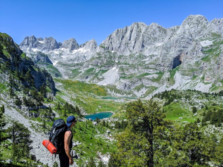
Bjeshka e Kabashit is a very beautiful mountain located in the south part of Kosovo, near the city of Prizren. From the top of this mountain, you will have stunning 360-degree views of the Accursed Mountains, Pashtrik Mountain and the Sharr Mountains. In this mountain, you can find ancient Illyrian relics from the IV-V B.C.

A hiker crosses snowy slopes on Bjeshka e Kabashit beneath a bright, clouded winter sky

How to get there

This mountain is located in the village called Korisha, which is located 7 km from the city of Prizren in Kosovo. To go there, you need to head to the road to Suhareka, and then after 7 km turn right. Follow the road which will lead you to the center of Korisha. There you can find a mini market, and you can park the car. If you have a 4×4 car, you can continue going uphill to a village called Kabash.

About the Bjeshka e Kabashit hike

From Korisha to a village called Kabash the distance is around 7 km. It is an unpaved road, easy to follow, and you can see a lot of mountain huts. After reaching there you need to follow the road, which will lead you to a water source. This is the last water source. Then, you will continue hiking through a forest until you will reach a meadow hill, which is very beautiful. You will need to ascend this hill to arrive at the peak which is called  Maja e Kabashit (also known as Guri i zi). The elevation of this peak is 1945 m/alt.

The views from the top are stunning and 360-degrees. From there you can enjoy the view of Accursed Mountains, Pashtrik Mountain, Oshlak Peak, and the Sharr Mountains.

As mentioned before in this mountain you can find very 2500 years old relics and a very old Church.

There are some water sources on this hiking trip, therefore you need around 2 liters of water.
Share this guide

Questions and comments

Ask me about this hike

Leave a comment or a trail report

Your email is never shown. A first comment appears once I have read it.

Trail report

Through my lens

More from Kosovo

All my photographs

Keep exploring

More from Accursed Mountains

All Kosovo guides
Granit Temaj

Get my new stories by email

Be the first to know when I come back from the mountains with a new route.

You will get one email to confirm. Unsubscribe any time. Privacy

Read the guide

Trail alerts

An email when someone reports how the path is, or when I update the guide. Nothing else, and one click stops it.

You confirm it by email first. Your address is used for these alerts only. Privacy

License this photograph

Tell me what it is for. I answer within a few days with a price and the licence.

Your name and email are used only to answer this request.

Newsletter

Get my new stories by email

Be the first to know when I come back from the mountains with a new route.

You will get one email to confirm. Unsubscribe any time. Privacy