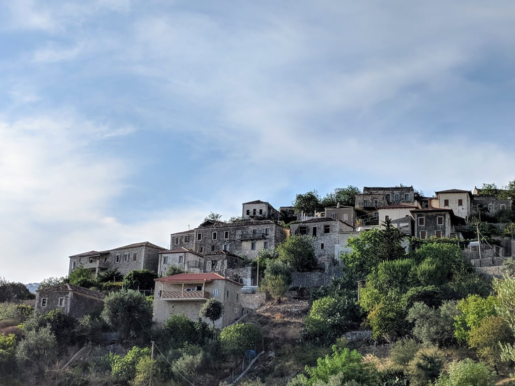
Kudhës is a very beautiful village located near the Albanian Riviera (the coastline along the Northeastern Ionian Sea, from Vlorë to Saranda), and is part of Himara municipality. The distance to the coast from this village is around 6 km. Nowadays, only 300 people live there.
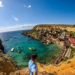
Qeparo is a seaside village. Old Qeparo is located uphill, and it is one of the top touristic destinations of Albania. Hiking from Kudhës to Qeparo is very beautiful and if you are hiking along Southern Albania, I strongly suggest it.
How to get there
There are two options, to hike both ways, or to go by car to Kudhës, and then go back from the village to Upper Qeparo and then Qeparo. I will explain the second one. After you go through the Porto Palermo castle (created by Ali Pasha of Tepelena), when you arrive at Manastiri i Shën Dhimitrit you need to take the left turn. The distance from there to Kudhës is around 7 km (20 min by car).
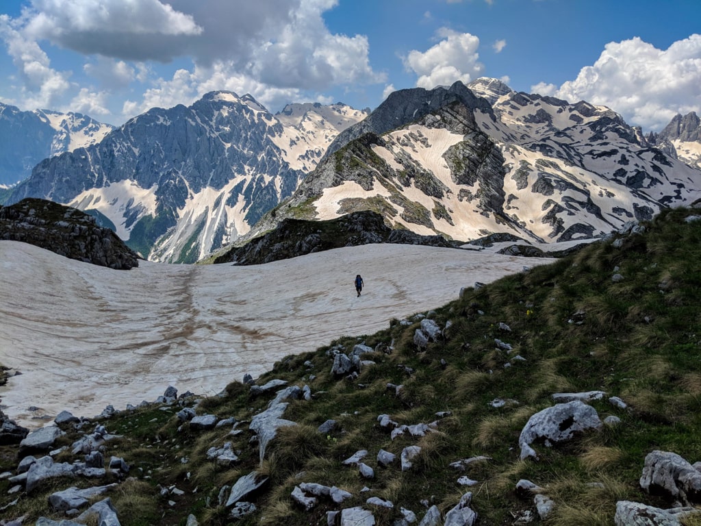
About Kudhës and hiking trip
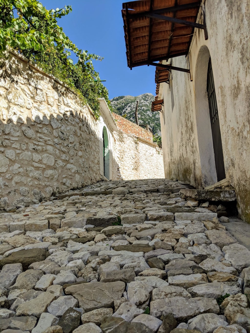
When you will arrive there, you will see a very traditional village with some beautiful cobbled roads. Check out the picture from there:
There isn’t any restaurant or mini-market, but a lot of people are providing traditional lunches for tourists. The food there is 100% bio and very delicious.
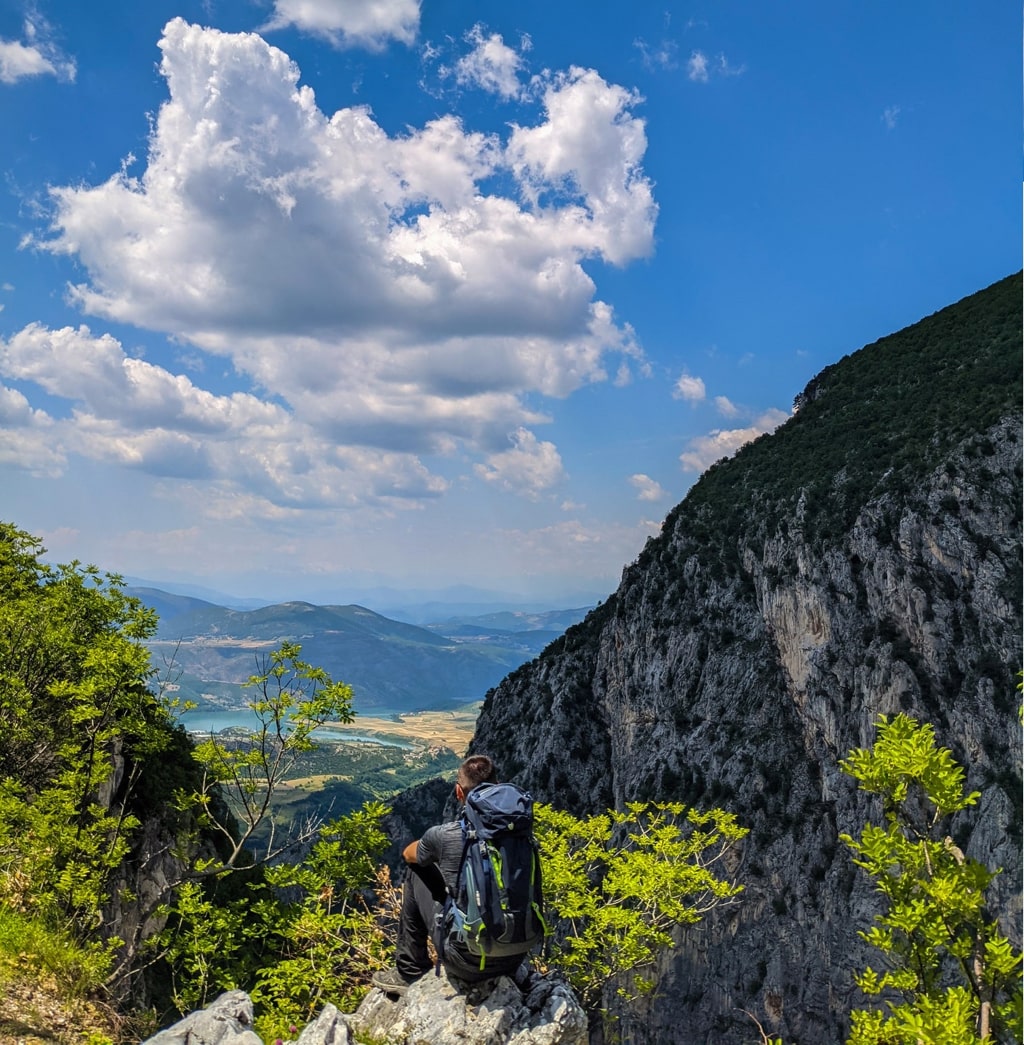
After the visit to this village, you need to take the trail to go to Upper Qeparo. The trail goes up the village and has some scenic views. You will need around 5.5 km to arrive in Upper Qeparo, an old beautiful village, from where you can see beautiful views of Qeparo and the Ionian Sea. Then, 2.6 km to arrive in Qeparo.
There isn’t any water source in this hiking trail, therefore make sure you have enough water for this hike. Another thing I want to mention is the fact that during summer the temperatures are very high, so try to avoid this hike during mid-day. The total distance of this trail is 7.6 km.
Points of interest:
Starting point: Kudhës, Albania
Starting altitude: 192 m/alt
Elevation loss: 300 m/alt
Elevation gain: 154 m/alt
Check out the wikiloc trail, you can download and follow it:
Last modified: October 1, 2025