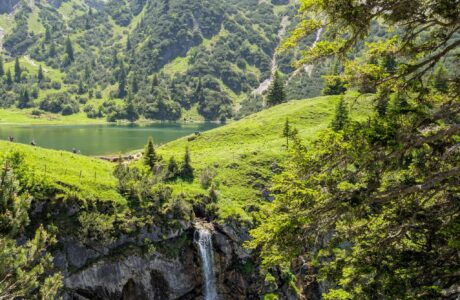
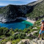
Gjipe to Jala beach (or reverse) trail, has so many beautiful views and it is a great chance to enjoy the two beautiful beaches of Southern Albania in a day.
How to get there
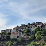
The starting point where I started the trail is to the St. Theodor Monastery which is located near Gjipe Canyon. Going to Gjipe is relatively easy. From Tirana, you need to go to Vlora. Once you arrive in Vlora, you will need to go up to Llogora pass, where the views of the Ionian Sea are amazing. The distance between the Llogora pass and Gjipe is around 22 km. You will go through the village of Dhërmi where you can find mini-markets to buy food and drinks. 4.5 after Dhërmi you will see a sign to turn right to Gjipe. You need to follow the road which is around 2.6 km to a Monastery.
From there you will need around 1.5 km to get to the Gjipe beach and Gjipe Canyon.
About the trail from Gjipe to Jala beach
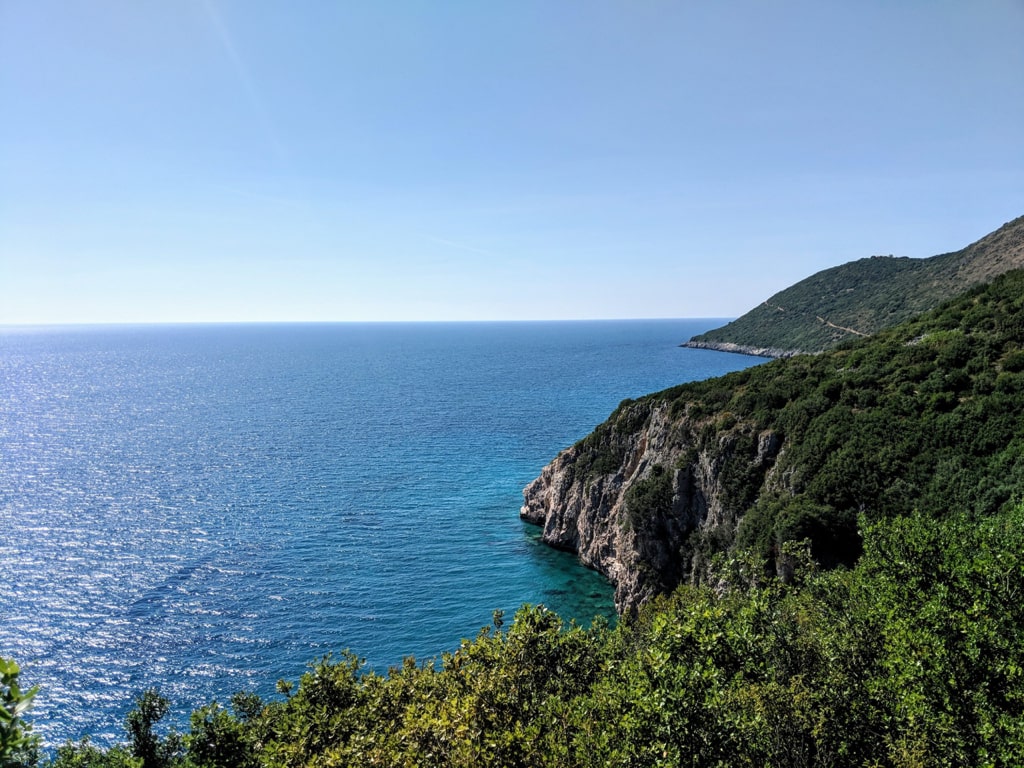
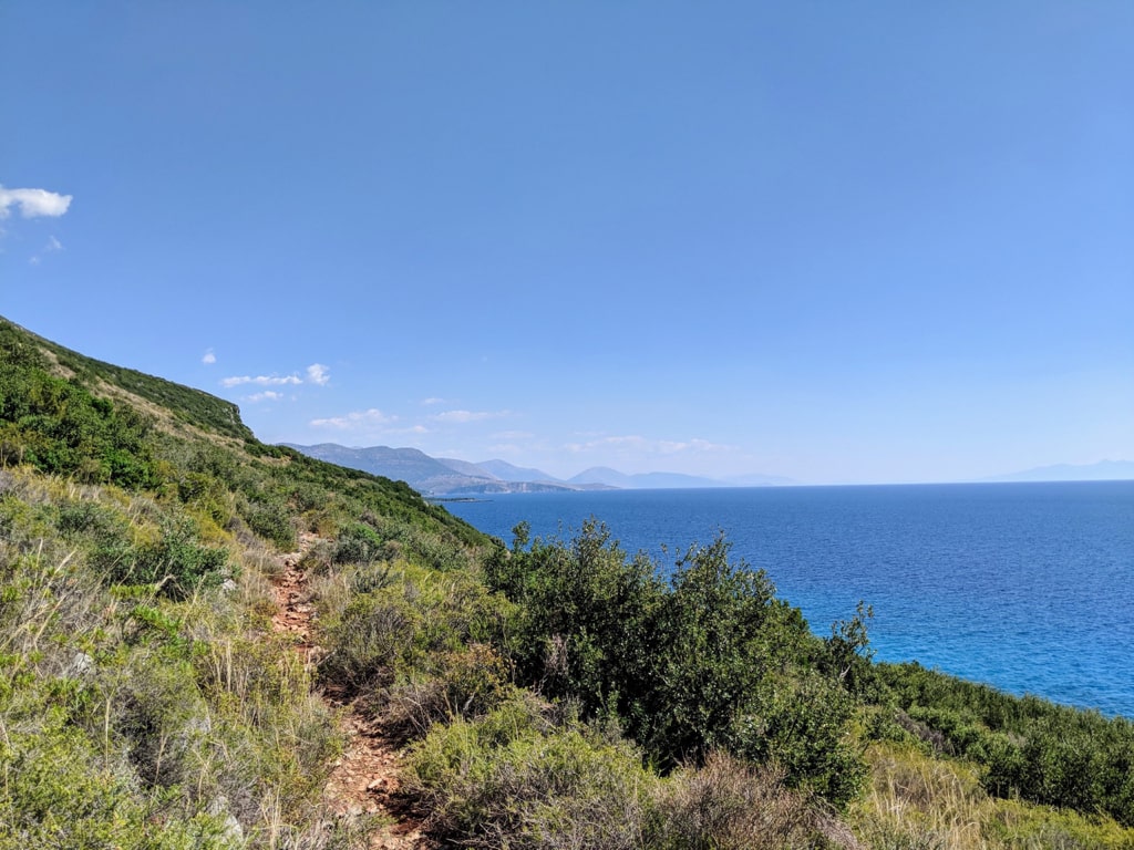
After enjoying the time in beach and canyon, the starting point of the trail Gjipe to Jala beach is behind the restaurant in Gjipe (A small path on the right). From there, there is around 3 km left to arrive in Jala beach. You just need to follow the goat’s path and most of the time there are a lot of thorns from the small bushes along the road, therefore make sure you have long trousers, otherwise, you will end up with some scratches. Along with this trail, you will be lucky to see two virgin beaches which are very beautiful. One is named “Plazhi me Shpella” and has a lot of very beautiful sea caves, and the other one doesn’t have any specific name but is very beautiful. Check out this one:
There isn’t any water source in Gjipe to Jala trail, therefore make sure you have enough water for this hike. Another thing I want to mention is the fact that during summer the temperatures are very high, so try to avoid this hike during mid-day. Total distance for St. Theodor Monastery – Gjipe Beach – Jala Beach is 4.9 km.
Points of interest:
Starting point: St. Theodor Monastery, Gjipe
Starting altitude: 192 m/alt
Elevation loss: 300 m/alt
Elevation gain: 154 m/alt
Check out the wikiloc trail, you can download and follow it:
Beach Canyon Hiking Ionian Sea
Last modified: October 9, 2025


I think there is a mistake on the shown map here.
It is Ionanian sea instead of Adriatic
I agree! It is an OpenStreetMap I believe.