Unplug and Reconnect: A Two-Day Hike to Off-the-Grid Village of Curraj i Epërm

· updated · 2 min read
A hiker crosses a grassy meadow below a cloud capped rocky mountain near Curraj i Epërm, Albania
Unplug and Reconnect, Albania
Distance
13.5 km
Time
2 days
Ascent
+1,905 m
Descent
−1,905 m
High point
902 m
Difficulty
Challenging

The route

Unplug and Reconnect, on the map

Two ways to walk it, both from my own GPX tracks. Pick one: the map, the profile and the numbers follow.

Distance13.5km
Time2 days
Ascent+1,905m
Descent−1,905m
High point902m
DifficultyChallenging

Walking time at your paceAn estimate without breaks, worked out from the distance and the climb.

  • Relaxed14 h 50 min
  • Average11 h 50 min
  • Fast9 h 30 min

Elevation

Elevation profile of Unplug and Reconnect: A Two-Day Hike to Off-the-Grid Village of Curraj i EpërmStarts at 197 m, climbs 1,905 m in total to a high point of 902 m after 8.5 km, and finishes at 813 m; 10.1 km in all.500 m0 km1 km2 km3 km4 km5 km6 km7 km8 km9 km10 kmCurrajHigh point · 902 mCurraj i Epërm

How steep

  • 4.1 kmUnder 8%
  • 3.7 km8 to 15%
  • 1.5 km15 to 25%
  • 0.8 kmOver 25%

In two parts

Embed this map

Paste this into your page or post (in WordPress: a Custom HTML block). The map stays up to date with the guide, and the link under it leads your readers to the full guide.

What to pack17 things, for a long day, nights on the way

Every hike

For a long day

Nights on the way

The light for photographs

Today at the high point: sunrise 06:14, sunset 16:32.

Today at the high point: sunrise 06:14, sunset 16:32.

At the high point, 902 m, in local time (Europe/Tirane), with an open horizon: the mountains around can hide the sun sooner.

In short

This challenging two-day hike goes from Curraj village to the off-grid village of Curraj i Epërm and back. It covers 13.5 km, with 1,905 m of ascent and descent, and reaches 902 m. The hiking season is May to November; carry 2 L of water.

The hike to Curraj i Epërm village is a true adventure, taking you through some of Albania’s most remote and beautiful landscapes. The trail is 13 km long on both days, and it involves an elevation gain of 1325 m, an elevation loss of 580 m on the first day, an elevation gain of 580 m, and an elevation loss of 1325 m on the second day.

On the first day, you’ll start your hike from Curraj village and make your way through dense forests and rugged mountain terrain. The trail is well-marked but can be challenging in places, so it’s essential to be prepared for steep inclines and rocky terrain. As you gain elevation, the scenery becomes more and more breathtaking, with stunning views of the surrounding mountains.
After a full day of hiking, you’ll reach the isolated village of Curraj i Epërm. This village is one of the most remote in Albania and is entirely off the grid. Two guesthouses are available for overnight stays but are prepared for no electricity and a cold shower. Food is bio and fresh, and the experience is unique.
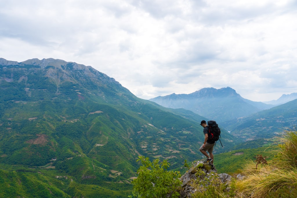
A hiker stands on a rocky ridge above the green mountain valleys of Curraj i Epërm beneath a cloudy sky

You’ll retrace your steps on the second day, starting your descent from Curraj i Epërm village. The descent is just as challenging as the ascent, but the views are just as beautiful. You’ll pass through the same landscapes and see the same wildlife from a different perspective. As you return to Curraj village, you’ll have the satisfaction of having completed one of the most challenging and rewarding hikes in the region.

Overall, the Curraj i Epërm hike is a test of endurance and determination. The trail is challenging, but the rewards are well worth it. The breathtaking scenery, the unique experience of staying in an isolated village, and the sense of accomplishment at the end of the hike make it an experience you will never forget. So, pack your bags and get ready for an unforgettable adventure!
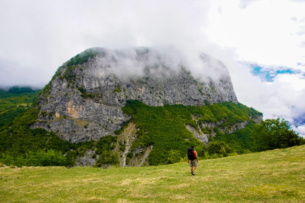
A hiker crosses a grassy meadow below a cloud capped rocky mountain near Curraj i Epërm, Albania

Share this guide

Questions and comments

2 comments

  1. Minaya

    Hi there!

    This hike looks amazing! We’re planning to do it in August (the first week or so). We have a few questions, maybe you can help us:

    – What’s the best way to get to Curraj village? Can we get there from Fierze or Theth?
    – Do you reckon we could do the hike with trainers instead of hiking boots (good trainers though)?
    – We saw in the Lonely Planet guide there are two guesthouses at Curraj i Eperm, but we can only find one in Booking (Guesthouse Prebibaj). Do you have a reference or contact for the second guesthouse?

    Thanks a lot!!!!

    Reply

Leave a comment or a trail report

Your email is never shown. A first comment appears once I have read it.

Trail report

Through my lens

More from Albania

All my photographs

Keep exploring

More from Accursed Mountains

All Albania guides
Granit Temaj

Get my new stories by email

Be the first to know when I come back from the mountains with a new route.

You will get one email to confirm. Unsubscribe any time. Privacy

Read the guide

Trail alerts

An email when someone reports how the path is, or when I update the guide. Nothing else, and one click stops it.

You confirm it by email first. Your address is used for these alerts only. Privacy

License this photograph

Tell me what it is for. I answer within a few days with a price and the licence.

Your name and email are used only to answer this request.

Newsletter

Get my new stories by email

Be the first to know when I come back from the mountains with a new route.

You will get one email to confirm. Unsubscribe any time. Privacy