For the trail · alpventurer.com/curraj-eperm
Unplug and Reconnect: A Two-Day Hike to Off-the-Grid Village of Curraj i Epërm
Unplug and Reconnect · Albania
- Time
- 2 days
- Difficulty
- Challenging
- Season
- May–Nov
- Water
- 2 L
- Parking
- Free
In short
This challenging two-day hike goes from Curraj village to the off-grid village of Curraj i Epërm and back. It covers 13.5 km, with 1,905 m of ascent and descent, and reaches 902 m. The hiking season is May to November; carry 2 L of water.
The route: Curraj - Curraj i Epërm
- Distance
- 13.5 km
- Ascent
- +1,905 m
- Descent
- −1,905 m
- High point
- 902 m
- Lowest point
- 197 m
A Curraj: 42.30010, 19.94639B Curraj i Epërm: 42.34073, 19.91678▲ High point: 42.33403, 19.93005
Walking time, without breaks
- Relaxed14 h 50 min
- Average11 h 50 min
- Fast9 h 30 min
How steep
- Under 8% 4.1 km
- 8 to 15% 3.7 km
- 15 to 25% 1.5 km
- Over 25% 0.8 km
In two parts
- Up to the high point 8.5 km · +903 m
- Down to Curraj i Epërm 1.6 km · −101 m
The route: Curraj i Epërm - Curraj
- Distance
- 12.1 km
- Ascent
- +332 m
- Descent
- −928 m
- High point
- 912 m
- Lowest point
- 212 m
A Curraj: 42.34062, 19.91743B Curraj i Epërm: 42.30021, 19.94641▲ High point: 42.33368, 19.93276
Walking time, without breaks
- Relaxed5 h 40 min
- Average4 h 30 min
- Fast3 h 35 min
How steep
- Under 8% 4.0 km
- 8 to 15% 4.1 km
- 15 to 25% 1.5 km
- Over 25% 0.8 km
In two parts
- Up to the high point 1.7 km · +114 m
- Down to Curraj i Epërm 8.8 km · −918 m
What to pack
Every hike
- Water: about 4 litres (half a litre an hour)
- Rain jacket
- A warm layer (fleece or light down)
- Sun cap, sunglasses and sun cream
- Boots or trail shoes with good grip
- Phone with the map offline, and a power bank
- Small first aid kit
- Headlamp, in case it gets late
- Some cash and your ID
For a long day
- Lunch, and a snack for every two hours
- Salty snacks or electrolytes
- Blister plasters
Nights on the way
- Sleeping bag liner (a sleeping bag where the hut has none)
- Dry clothes for the evening
- Toothbrush, small towel and earplugs
- Cash for huts and guesthouses
- Your bookings
The guide
The hike to Curraj i Epërm village is a true adventure, taking you through some of Albania’s most remote and beautiful landscapes. The trail is 13 km long on both days, and it involves an elevation gain of 1325 m, an elevation loss of 580 m on the first day, an elevation gain of 580 m, and an elevation loss of 1325 m on the second day.
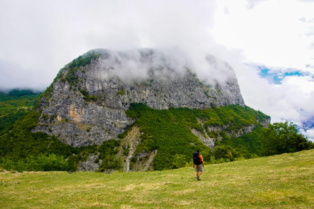
On the first day, you’ll start your hike from Curraj village and make your way through dense forests and rugged mountain terrain. The trail is well-marked but can be challenging in places, so it’s essential to be prepared for steep inclines and rocky terrain. As you gain elevation, the scenery becomes more and more breathtaking, with stunning views of the surrounding mountains.
After a full day of hiking, you’ll reach the isolated village of Curraj i Epërm. This village is one of the most remote in Albania and is entirely off the grid. Two guesthouses are available for overnight stays but are prepared for no electricity and a cold shower. Food is bio and fresh, and the experience is unique.
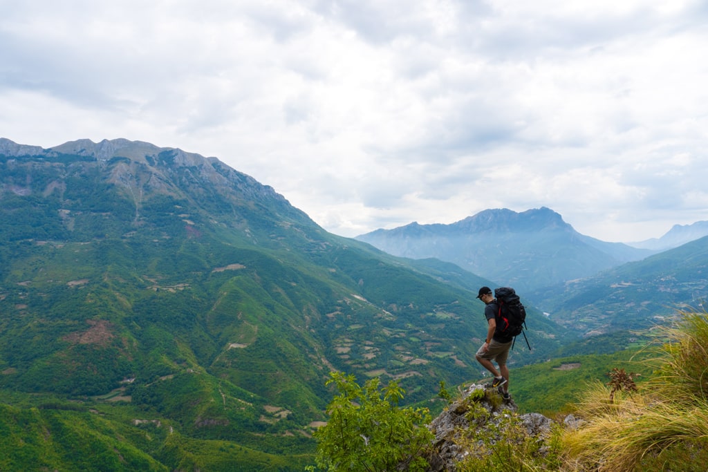
You’ll retrace your steps on the second day, starting your descent from Curraj i Epërm village. The descent is just as challenging as the ascent, but the views are just as beautiful. You’ll pass through the same landscapes and see the same wildlife from a different perspective. As you return to Curraj village, you’ll have the satisfaction of having completed one of the most challenging and rewarding hikes in the region.
Overall, the Curraj i Epërm hike is a test of endurance and determination. The trail is challenging, but the rewards are well worth it. The breathtaking scenery, the unique experience of staying in an isolated village, and the sense of accomplishment at the end of the hike make it an experience you will never forget. So, pack your bags and get ready for an unforgettable adventure!