The Cinque Terre Trail is Italy’s classic coastal walk — a path connecting five villages suspended between sea and sky. The route combines steep stone steps, vineyard terraces, and endless blue horizons.
This is the full trail I walked last year — starting from Riomaggiore and ending at Monterosso al Mare, covering every village and high route in between.
Riomaggiore → Manarola (Via Beccara)
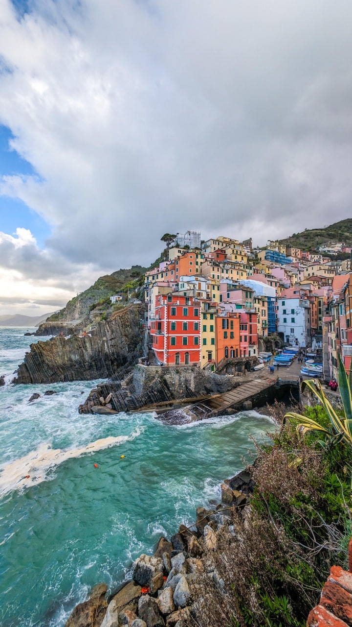
The day began early in Riomaggiore, when fishermen were still arranging nets near the small harbor. The trail to Manarola, called Via Beccara, climbs steeply above the sea. It’s a short section — just 1.2 km — but gains over 200 meters fast. The stairs cut through terraces of dry-stone walls and old vines, and every turn opens to wider views of the coast.
When the sun hits the water, the Ligurian Sea turns a dense, metallic blue — more mineral than liquid. By the time you descend to Manarola, the pastel houses seem to float on the cliffs, stacked like coral.
Trail notes:
- Distance: ~1.2 km
- Elevation gain: 220 m
- Time: 40–60 min
- Difficulty: Moderate–steep
Manarola → Volastra → Corniglia (High Route)
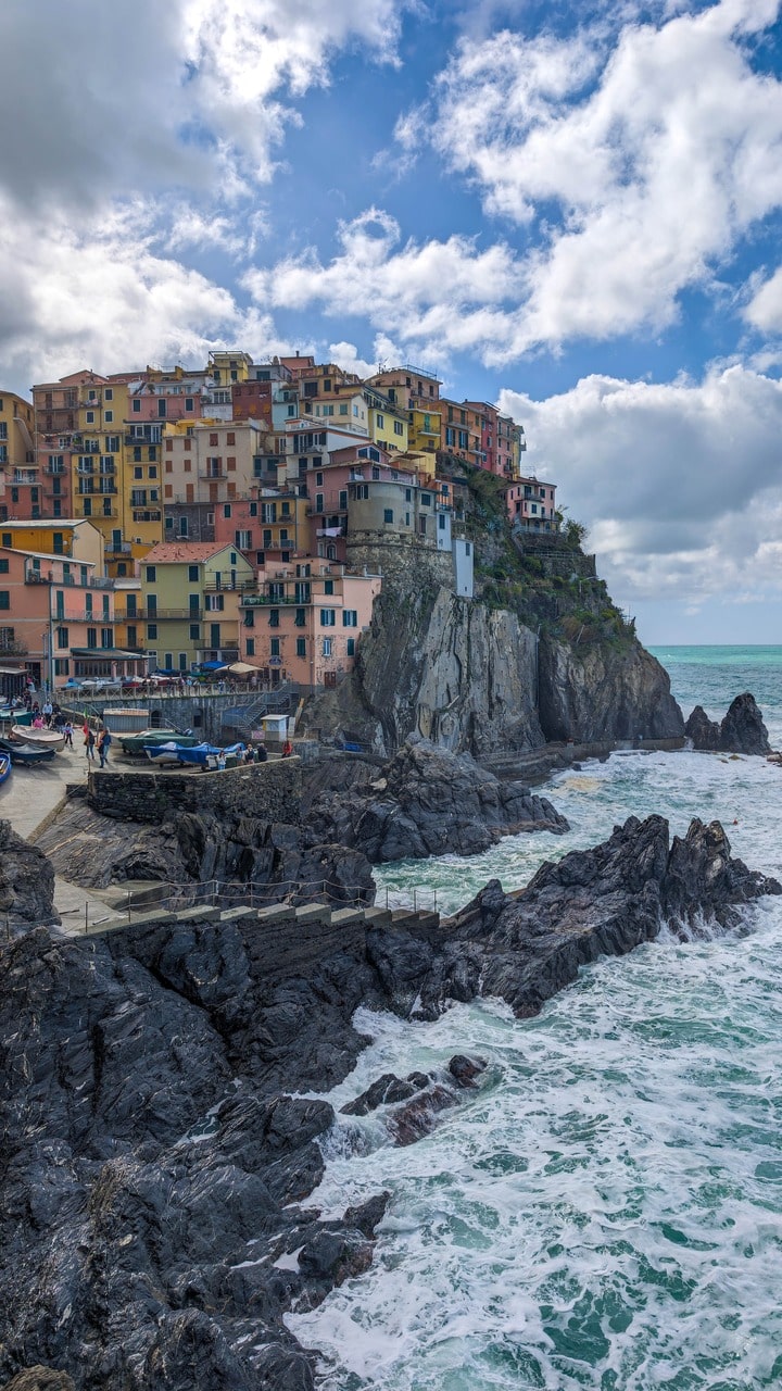
The classic coastal Via dell’Amore was closed, so I took the high route through Volastra, which turned out better — quieter, more authentic. The path zigzags through vineyards and olive groves, the sea always visible below.
Volastra is a small hilltop village that feels almost forgotten by tourism. Old women sweep the alleys, and the scent of lemons drifts from the gardens. It’s the kind of place where time bends around you.
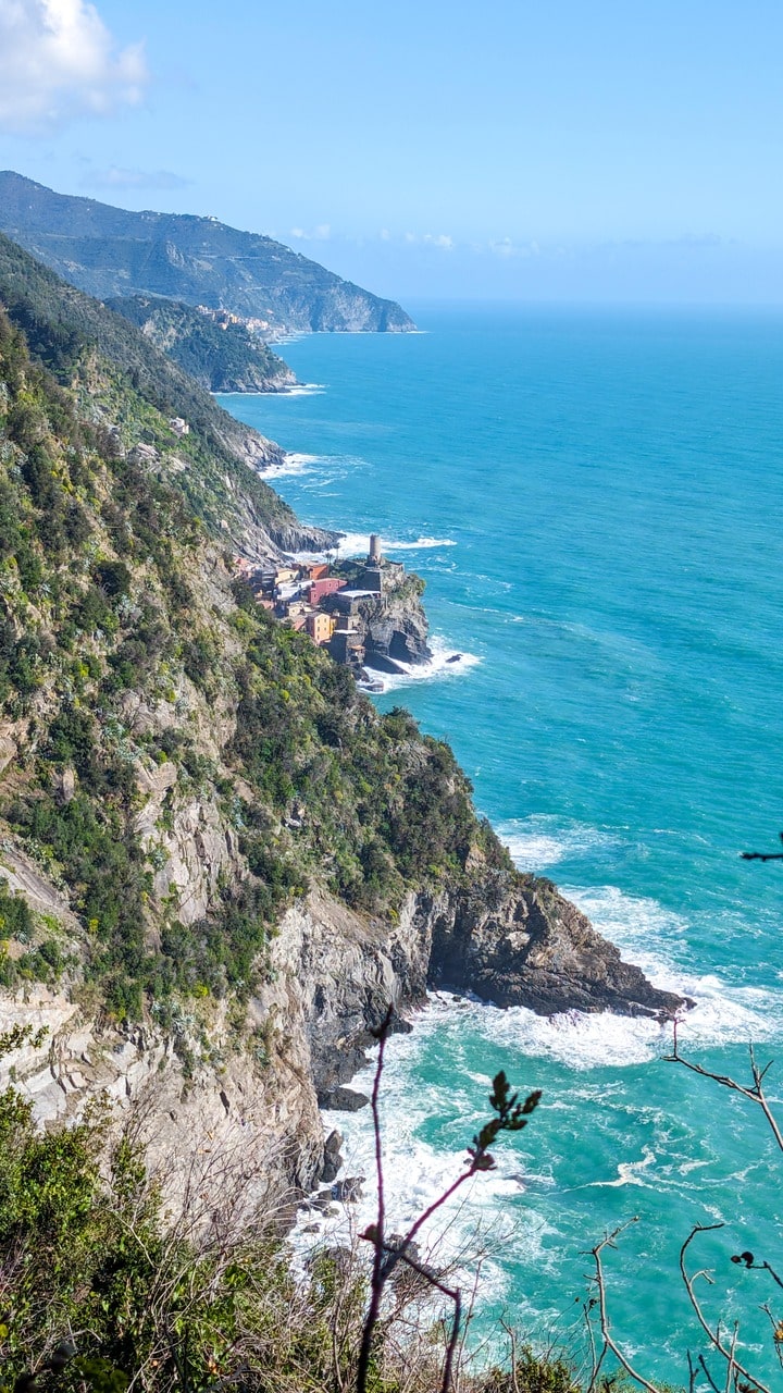
From here, the trail stays high above the sea, following the terraced ridges toward Corniglia. This part of the hike is pure Mediterranean poetry: olive trees, stone walls, silence, and that infinite sea horizon.
Trail notes:
- Distance: ~5 km
- Elevation gain: 350 m
- Time: 2–2.5 h
- Difficulty: Moderate
- Highlights: Volastra vineyards, sea panoramas, shaded olive terraces
Corniglia
Unlike its siblings, Corniglia sits on a clifftop rather than by the sea. You reach it after climbing 382 stone steps — enough to deserve your first gelato of the day. The village feels intimate, a labyrinth of narrow lanes and balconies heavy with bougainvillea.
It’s the quietest of the five towns and arguably the most atmospheric. From the terrace near Santa Maria Belvedere, the view stretches both ways across the coast — you can trace the path you’ve just walked and the one that lies ahead.
Corniglia → Vernazza
Leaving Corniglia, the trail follows the slope above the sea, winding through low scrub and shaded pines. The air smells of rosemary and warm rock. This is one of the most scenic stretches — the classic Cinque Terre postcard view comes halfway along, where Vernazza first appears: a pastel cluster wrapped around its small bay, the Doria Tower standing like a watchful guardian.
The descent is long and full of steps, but the promise of a swim keeps you going.
Trail notes:
- Distance: ~4 km
- Elevation gain: 250 m
- Time: 1.5–2 h
- Difficulty: Moderate
- Highlights: Sea views, terraced hillsides, descent into Vernazza
Vernazza
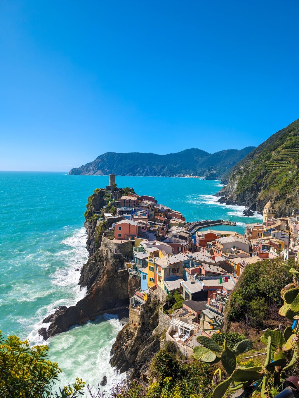
Of all five villages, Vernazza is the one that feels alive in color. The harbor buzzes with small boats, restaurants, and that late-afternoon light that makes the whole place glow. A swim here is essential — the water is clear and calm, protected by the small stone pier.
Dinner was simple: anchovies, lemon, white wine from the local Sciacchetrà vines. Watching the sun drop behind Monterosso, it’s easy to forget that trains and cars exist.
Vernazza → Monterosso
The last leg is tougher than it looks. The trail climbs steeply above Vernazza, then rolls along the cliffs before dropping to Monterosso al Mare, the largest and most resort-like of the five. Along the way, you pass terraces that have crumbled into wilderness — reminders of how fragile this landscape is without constant care.
After hours of stone steps, the sight of Monterosso’s sandy beach feels almost unreal. The sea here is wide and open, and after days of narrow paths and high views, stepping into it feels like an ending and a reset.
Trail notes:
- Distance: ~3.5 km
- Elevation gain: 250 m
- Time: 2 h
- Difficulty: Moderate–hard
- Highlights: Final coastal views, vineyards, arrival beach in Monterosso
Notes from the hike
- When to go: April–June or September–October. Avoid July–August if you dislike crowds or heat.
- Pass required: The Cinque Terre Card is needed for most official trails. Buy it at train stations or visitor centers.
- Weather: Even mild rain makes the paths slippery — wear proper hiking shoes.
- Water & food: Each village has fountains, cafes, and small shops. Carry at least 1.5 L water.
- Navigation: Trails are well-marked (red-and-white CAI symbols). Offline maps (Komoot, Maps.me) recommended.
- Public transport: Frequent trains connect all five villages; you can shorten or skip sections anytime.
Best photo spots:
– View back to Manarola from halfway up Via Beccara
– Volastra vineyards
– Belvedere Corniglia terrace
– Descent to Vernazza
– Ridge between Vernazza and Monterosso
Final Thoughts
Walking the Cinque Terre is not about distance — it’s about continuity. Each village feels like a verse in the same poem: Riomaggiore’s raw start, Volastra’s quiet ridge, Corniglia’s solitude, Vernazza’s beauty, Monterosso’s release.
It’s a journey stitched together by stairs, sea light, and human endurance — proof that even in one of Italy’s most visited places, there’s still wildness hidden between the vineyards and the sea.



Leave a comment or a trail report