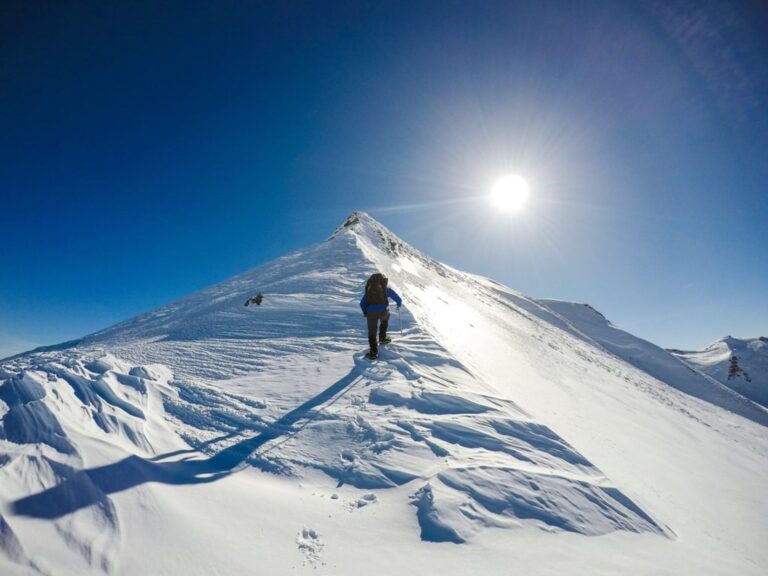
Discovering the Beauty of the Nemercka Range: Biovizhdë – Kourouna Peak Hike

· updated · 2 min read
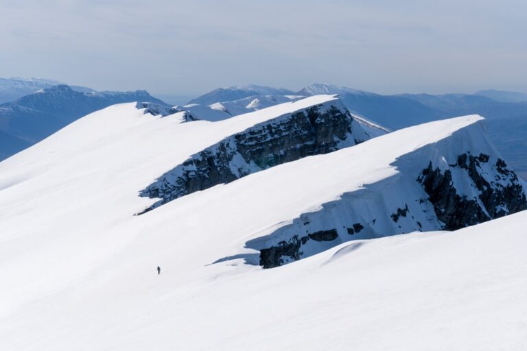
A hiker crosses a snowy slope below the snow-covered peaks of the Nemercka Range in Albania
Discovering the Beauty of the Nemercka R…, Albania
Distance
10.7 km
Ascent
+1,400 m
Descent
−1,121 m
High point
1,843 m
Difficulty
Challenging

The route

Discovering the Beauty of the Nemercka R…, on the map

From my own GPX track. Move along the elevation profile or along the line on the map: both show the same point.

Distance10.7km
Ascent+1,400m
Descent−1,121m
High point1,843m
DifficultyChallenging

Walking time at your paceAn estimate without breaks, worked out from the distance and the climb.

  • Relaxed10 h 20 min
  • Average8 h 15 min
  • Fast6 h 35 min

Elevation

Elevation profile of Discovering the Beauty of the Nemercka Range: Biovizhdë – Kourouna Peak HikeStarts at 681 m, climbs 1,400 m in total to a high point of 1,844 m after 6.4 km, and finishes at 952 m; 10.7 km in all.1,000 m1,500 m0 km2 km4 km6 km8 km10 kmBiovizhdëKourouna Peak · 1,844 mFinish

How steep

  • 2.2 kmUnder 8%
  • 2.2 km8 to 15%
  • 1.9 km15 to 25%
  • 4.4 kmOver 25%

In two parts

Embed this map

Paste this into your page or post (in WordPress: a Custom HTML block). The map stays up to date with the guide, and the link under it leads your readers to the full guide.

What to pack19 things, for a summit, a long day, snow

Every hike

For the summit

For a long day

Snow and ice

The light for photographs

Today at Kourouna Peak: sunrise 06:05, sunset 16:37.

Today at Kourouna Peak: sunrise 06:05, sunset 16:37.

At Kourouna Peak, 1,844 m, in local time (Europe/Tirane), with an open horizon: the mountains around can hide the sun sooner.

In short

The challenging hike to Kourouna Peak starts in Biovizhdë, in Albania’s Përmet area. The route covers 10.7 km with 1,400 m of ascent and reaches a high point of 1,843 m. The guide explains access to the village and notes that winter snow may require an ice axe and crampons.

The Biovizhdë – Kourouna Peak hike is a winter wonderland adventure that offers some of the most breathtaking views in the Permet area. In my opinion, this is one of the most beautiful hikes in the Permet area. Also, this trail is part of a tourism development project in Permet.
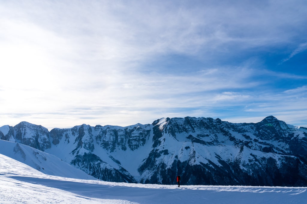
Biovizhde Kourouna Peak

How to get to Biovizhde

To get to Biovizhde, you’ll need to take the main road towards Permet. From there, it’s approximately 3 km to the village of Biovizhde, which is only accessible by high clearance four-wheel drive. If you’re not comfortable driving a four-wheel drive, you can hire a local driver to take you to the village. It’s also worth noting that the road to Biovizhde can be rough, so ensure your vehicle is in good condition before attempting the drive.

About the Kourouna Peak Hike
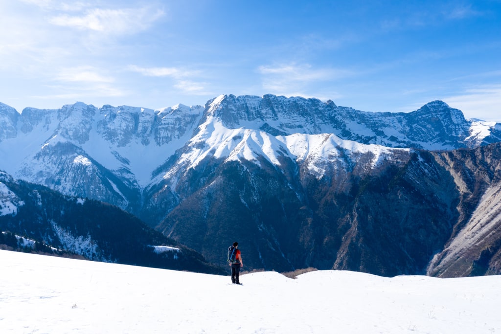
Biovizhde Kourouna Peak

The Kourouna Peak hike starts at the village of Biovizhde and offers a challenging but rewarding experience for hikers. The trail climbs up gently through a beautiful forest, and as you exit the forest, you’ll be greeted by stunning views of the Nemercka mountain range. From there, the hike continues along the ridge towards the Kourouna peak, which stands at 1’852m/alt and offers an unforgettable view of the surrounding mountains in Albania and Greece. During winter, you may need an ice axe and crampons due to the snow, so make sure you’re prepared with the right gear and equipment. The descent from the peak takes you to the other side of the border, where you’ll be able to enjoy even more beautiful views of the surrounding mountains. Overall, the Biovizhdë – Kourouna Peak hike is an adventure that you won’t soon forget and is highly recommended for anyone who loves a good challenge and wants to experience some of the most stunning views in the Permet area.

Here are some quick facts about the Biovizhdë – Kourouna Peak Hike:

Starting point: Biovizhde, Permet
Starting altitude: 680 m/alt
Highest altitude: 1’843 m/alt
Elevation gain: 1’400 m/alt

Here is the trail of this hike:
Share this guide

Questions and comments

Ask me about this hike

Leave a comment or a trail report

Your email is never shown. A first comment appears once I have read it.

Trail report

Through my lens

More from Albania

All my photographs

Keep exploring

More from Albania

All Albania guides
Granit Temaj

Get my new stories by email

Be the first to know when I come back from the mountains with a new route.

You will get one email to confirm. Unsubscribe any time. Privacy

Read the guide

Trail alerts

An email when someone reports how the path is, or when I update the guide. Nothing else, and one click stops it.

You confirm it by email first. Your address is used for these alerts only. Privacy

License this photograph

Tell me what it is for. I answer within a few days with a price and the licence.

Your name and email are used only to answer this request.

Newsletter

Get my new stories by email

Be the first to know when I come back from the mountains with a new route.

You will get one email to confirm. Unsubscribe any time. Privacy