
Embark on an unforgettable journey to the summit of Brecherspitz, a prominent peak located in the picturesque surroundings of Spitzingsee. This hike offers a blend of moderate to demanding trails, featuring a rugged summit ridge that demands sure-footedness and a strong head for heights. Perfect for adventure seekers and nature enthusiasts alike, this hike not only challenges your physical prowess but also rewards you with some of the most stunning vistas of the Bavarian Alps. Strap on your hiking boots and let’s explore the allure of Brecherspitz, where every step leads to a new horizon.
How to Get There
By Car: The adventure begins with a scenic drive from Munich along the Salzburg motorway. Take the Weyarn exit, and proceed through Miesbach and Schliersee towards Neuhaus. Just after Neuhaus, turn right toward Spitzingsee, driving up to Spitzingsattel. Here, turn right again into the street leading to the Kurvenlift. Park your car in the large hiking car park at the end of the street.
By Bus & Train: Alternatively, use public transport for a stress-free journey. Catch the Bavarian Oberlandbahn from Munich’s main station to Schliersee, and then hop on bus 9562 right to Spitzingsattel.
About the Brecherspitz Hike

Character: The hike to Brecherspitz starts gently but soon picks up as it becomes a physically demanding adventure, especially as you near the summit. The paths are varied, involving meadows, forest trails, and ultimately, a thrilling climb along a rugged summit ridge, partially secured by wire ropes.
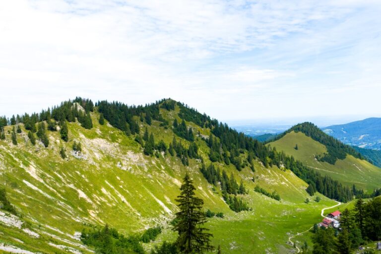
The Ascent: From the parking area near the Kurvenlift, the trail heads west. Initially paved, it soon turns into a dirt path that runs alongside a babbling stream, passing quaint houses before opening into an alpine meadow. As you approach the Lower Firstalm, magnificent views of the surrounding Taubenstein become visible. From there, the path to the Upper Firstalm winds upwards, steepening as you progress toward the saddle between Brecherpitz and Bodenschneid, marked by the Brecherspitz sign.
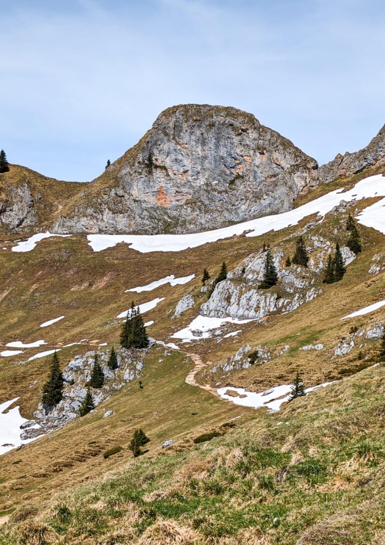
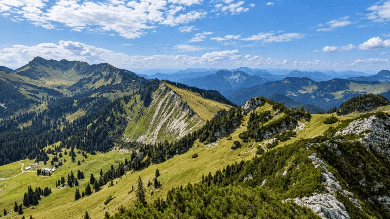
Summit Experience: The real adventure kicks in as you ascend the grassy slope leading to Brecherspitz’s western summit. The path, edged by the lush mountain pine, soon hits the rocky summit ridge. This section, equipped with wire ropes, involves a descent into a saddle followed by a final steep climb to the Brecherspitz summit cross. At 1,683 meters, the summit offers breathtaking panoramic views of Spitzingsee, Schliersee, and the expansive Bavarian Alps—a reward well worth the climb.
Descent: Retrace your steps down the same path, taking extra care on the summit ridge and steep sections. The descent is as exhilarating as the ascent, with the changing landscape providing a different perspective on the beauty you witnessed on your way up.
Points of Interest:
- Starting Point: Spitzingsattel (47.672208, 11.886435)
- Total Distance: 9.69 km
- Elevation Gain: 606 m
- Highest Peak: Brecherspitz (1,683 m)
The Brecherspitz hike is more than just a trail; it is an immersive experience of the natural beauty and rugged terrain of the Bavarian Alps. Whether you are a seasoned hiker or an enthusiastic beginner, this trail offers a fulfilling and memorable adventure. As you reflect on this guide and gear up for your journey, remember, that the path to Brecherspitz is not just about reaching the summit but about embracing the spirit of adventure and the majestic tranquility of nature.
Prepare for Your Adventure: Before you set out, make sure you’re well-prepared with appropriate hiking gear and enough water and snacks. Check the weather forecast, as conditions in the mountains can change rapidly. Happy hiking and enjoy the spectacular journey to the summit of Brecherspitz!

Leave a comment or a trail report