For the trail · alpventurer.com/maja-e-poplukes
Maja e Poplukës 2569 m/alt, impressive hiking trip
Maja e Poplukës 2569 m/alt · Albania
- Time
- ~10 h to the summit
- Difficulty
- Hard
- Season
- All year
- Water
- Last spring water source at Te Simoni
In short
Maja e Poplukës is a hard climb from Valbonë in Albania’s Accursed Mountains. The recorded route is 16.3 km with 1,620 m of ascent to 2,569 m; allow around 10 h to the summit. Te Simoni is the last spring water source, and crampons and an ice axe may be needed.
The route
- Distance
- 16.3 km
- Ascent
- +1,620 m
- Descent
- −1,569 m
- High point
- 2,569 m
- Lowest point
- 1,014 m
A Fusha e Gjes, Valbona: 42.42557, 19.87045▲ Maja e Poplukës: 42.42928, 19.80137
Walking time, without breaks
- Relaxed13 h 15 min
- Average10 h 35 min
- Fast8 h 25 min
How steep
- Under 8% 6.6 km
- 8 to 15% 1.5 km
- 15 to 25% 3.0 km
- Over 25% 5.2 km
In two parts
- Up to Maja e Poplukës 8.2 km · +1,582 m
- Back down to Fusha e Gjes, Valbona 8.1 km · −1,558 m
What to pack
Every hike
- Water: about 3.5 litres (half a litre an hour)
- Rain jacket
- A warm layer (fleece or light down)
- Sun cap, sunglasses and sun cream
- Boots or trail shoes with good grip
- Phone with the map offline, and a power bank
- Small first aid kit
- Headlamp, in case it gets late
- Some cash and your ID
For the summit
- Hat and gloves: it is colder and windier at the top
- Walking poles, for the way down
For a long day
- Lunch, and a snack for every two hours
- Salty snacks or electrolytes
- Blister plasters
Snow and ice
- Microspikes or crampons, as the snow needs
- Gaiters
- Insulated jacket and spare gloves
- A hot drink in a flask
- Check the avalanche bulletin before you go
The guide
Maja e Poplukës is a hard mountain route from Valbonë Valley in the Accursed Mountains, Albania. The recorded route covers 16.3 km with 1,620 m of ascent to 2,569 m, and my route notes allow around 10 h to reach the summit.
Also known as Maja e Popluks, Papluka and Popljuces, the peak is barely visible from either valley but comes into view when climbing Qafa e Pejes or Qafa e Valbones. For me, the views in every direction make it worth the effort, though hikers often overlook it for nearby Maja Jezercë. I recorded this route in April 2018 with one hiking companion.
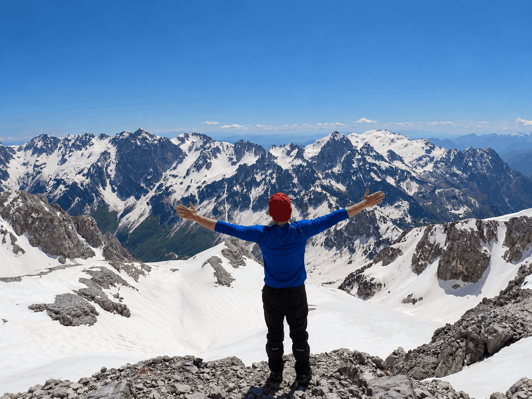
Points of interest for Maja e Poplukës
- Starting point: Fusha e Gjes, Valbonë Valley
- Starting altitude: 949 m
- Summit and highest point: Maja e Poplukës, 2,569 m
- Distance: 16.3 km
- Elevation gain: 1,620 m
- Recorded elevation loss: 1,569 m
- Time to the summit: around 10 h, around 11 h in winter
- Recorded moving time: 5 h 45 min
- Difficulty: Hard
- Trail type: Out and back
- Parking: Free, with plenty of space
- Water: Last spring water source at Te Simoni
- Food and accommodation: Te Simoni bar on the route; guesthouses in Valbonë Valley
- Season: All year for suitably experienced climbers; winter requires crampons and an ice axe
How to get to Valbonë and Fusha e Gjes
Valbonë Valley is 22 km from Bajram Curri. Reaching Bajram Curri from Tirana takes around 4 h. The bus station in Tirana is in front of Asllan Rusi Sports Center.
You can also travel from Prishtina, Kosovo. Take a bus from Prishtina Main Bus Station to Gjakova Bus Station, then another bus from Gjakova to Bajram Curri.
Fusha e Gjes is accessible by a normal car, and there is plenty of free parking. If you have a 4×4, you can continue to Rrogam and shorten the walk.
About the Maja e Poplukës hike
The route starts in Valbonë Valley, passes through Rrogam and climbs towards Maja e Poplukës over rocky terrain. There are some red and white trail markings, but I would recommend using GPS for navigation.
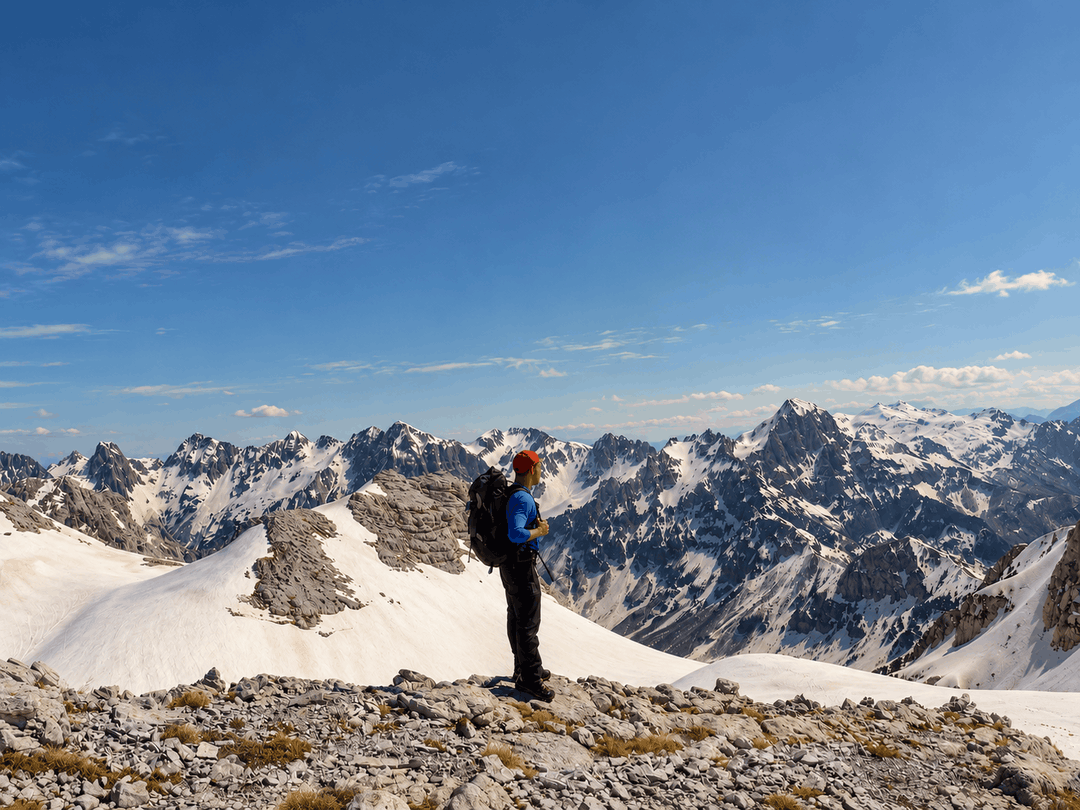
Fusha e Gjes to Rrogam and Te Simoni
Start at Fusha e Gjes and follow the route through the small village of Rrogam. You then reach Te Simoni, a small bar and the last water source in spring.
The junction for Theth and Popluka
After Te Simoni, continue until you reach a small sign. The left path goes towards Theth on the Valbonë to Theth route. Take the right path for Popluka.
Continuing towards Maja e Poplukës
Further along, make sure you do not confuse the route to Popluka with the trail towards Maja Jezercë. Check your position with GPS rather than relying only on the markings.
The climb has a large elevation gain, steep sections and technical terrain. My route notes allow around 10 h to reach the summit, increasing to around 11 h in winter.
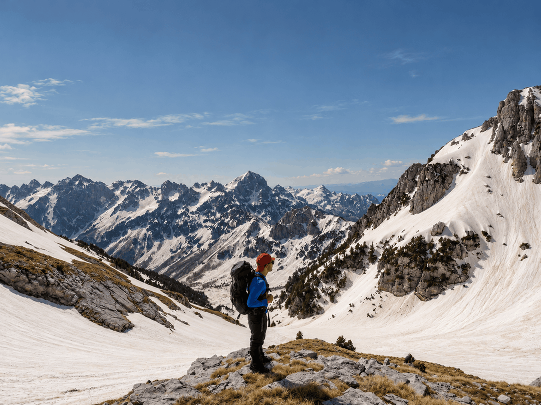
Water, food and accommodation in Valbonë
Te Simoni is the last water source in spring. I would suggest carrying 3 to 4 liters of water in summer.
Valbonë Valley has many inexpensive, traditional guesthouses serving very good food. They are usually busy in summer, so book early if you plan to stay overnight.
When to climb Maja e Poplukës
I recorded this route in April. Maja e Poplukës can be climbed throughout the year, but that does not mean conditions are suitable for every hiker.
Winter is for experienced mountaineers, with crampons and an ice axe required. Some sections are especially dangerous in winter, and crampons or an ice axe may also be needed in places at other times of year.
Maja e Poplukës difficulty and safety
This is a hard climb, not a straightforward valley walk. There is rocky terrain throughout the route, so I would suggest bringing a helmet.
- Use GPS alongside the red and white trail markings.
- Take the right path after Te Simoni, not the left path towards Theth.
- Do not confuse the Popluka route with the route to Maja Jezercë.
- Be prepared for terrain that may require crampons and an ice axe, even outside winter.
More hikes in Albania
Frequently asked questions
How long is the Maja e Poplukës route from Valbonë?
The GPX track measures 16.3 km, with 1,620 m of ascent and 1,569 m of descent. The hike starts at Fusha e Gjes in Valbonë Valley and reaches a high point of 2,569 m.
How long does it take to reach Maja e Poplukës?
Allow around 10 h to reach the summit, or around 11 h in winter. These are the summit times given in my route notes, not a full return-time estimate.
Is Maja e Poplukës difficult?
Yes, this is a hard route with steep climbs, rocky terrain and some dangerous sections. Bring a helmet; crampons and an ice axe may be needed in places even outside winter.
Where can I park for Maja e Poplukës?
There is plenty of free parking at Fusha e Gjes, which is accessible by a normal car. With a 4×4, you can continue to Rrogam and shorten the walk.
Is there water on the Maja e Poplukës hike?
Te Simoni is the last water source in spring. I would suggest carrying 3 to 4 liters of water in summer.
Can you climb Maja e Poplukës in winter?
Experienced mountaineers can climb it in winter, but some sections become very dangerous. Crampons and an ice axe are required.