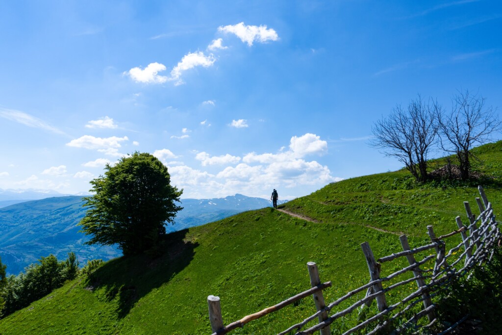
Brekije to Bicaj is a very beautiful day hike between villages, and through the Bicaj Canyon. There are so beautiful views from this trail, starting from green fields, isolated villages, the high mountain of Gjallica, and the Canyon of Bicaj.
How to get to Brekije
The village of Brekije is located around 25 km from the city of Kukës, and around 60 km from the city of Prizren, Kosovo. Getting there is easy if you have a car, but, by public transport, I am not sure if there is any possibility.
Follow the road from Kukës to Shishtavec, and then turn right to the village of Topojan. From there, you will face an unpaved road, and with small cars, I wouldn’t prefer going further than Topojan.
The distance of the unpaved road is around 3.5 km, so I would suggest walking it. Brekije is the starting point for this hike.
About the Brekije to Bicaj hike
In the village of Brekije, you start ascending and passing the village through some beautiful fields. After the fields, you will go into a forest, where the trail is quite visible. When passing the trail, some mountain huts will be there, which are used by local shepherds during the summertime. From there, you can see the beautiful ridge of the Gjallica mountain standing in front of you. From there you will start descending, and then you will get into another forest. After that, you will reach the village of Tershene, one of the most isolated villages in Albania. From there you can see some beautiful views of the Drin river, the city of Kukës, and Gjallica mountain on your right. The last part is through some rocky trail, and you arrive in Bicaj. There are some water sources during the trail, so take around 1.5 liters of water with yourself.
The time when you can hike this mountain is late Spring until Autumn, but for the bravest, you can go during wintertime as well, just make sure you have some extra layers and proper winter types of equipment.
Points of interest:
Starting point: Brekije, Kukës
Starting altitude: 1’200 m/alt
Highest altitude: 1,738 m/alt
Elevation gain: 820 m
Elevation loss: 1,543 m
Total distance: 18 km
I’ve attached the wikiloc trail from Brekije to Bicaj. You can download and follow it:

