For the trail · alpventurer.com/valbone-to-theth-things-before-trail
Valbonë to Theth – 5 things you need to know before heading out this trail
Valbonë to Theth · Albania
- Difficulty
- Challenging
- Season
- June–November
- Water
- Four to five water sources
- Parking
- Free
In short
The Valbonë to Theth hike in Albania is 12 km with around 950 m of elevation gain and is described as not easy. It crosses Valbona Pass and has four to five water sources along the way.
The route: Valbone - Theth
- Distance
- 12.0 km
- Ascent
- +950 m
- Descent
- −965 m
- High point
- 1,886 m
- Lowest point
- 1,008 m
A Valbonë: 42.42618, 19.87099B Theth: 42.40230, 19.77663▲ Valbona Pass: 42.40550, 19.81617
Walking time, without breaks
- Relaxed8 h 15 min
- Average6 h 35 min
- Fast5 h 15 min
How steep
- Under 8% 3.6 km
- 8 to 15% 2.6 km
- 15 to 25% 2.8 km
- Over 25% 2.5 km
In two parts
- Up to Valbona Pass 7.3 km · +968 m
- Down to Theth 4.2 km · −887 m
The route: Theth - Valbona (via Valbona Pass peak and Valbona Peak)
- Distance
- 13.1 km
- Ascent
- +1,142 m
- Descent
- −840 m
- High point
- 1,948 m
- Lowest point
- 806 m
A Valbonë: 42.39778, 19.77208B Theth: 42.42595, 19.87062▲ High point: 42.40388, 19.81813
Walking time, without breaks
- Relaxed8 h 55 min
- Average7 h 10 min
- Fast5 h 40 min
How steep
- Under 8% 5.3 km
- 8 to 15% 3.0 km
- 15 to 25% 1.9 km
- Over 25% 2.9 km
In two parts
- Up to the high point 6.1 km · +1,144 m
- Down to Theth 7.1 km · −840 m
What to pack
Every hike
- Water: about 2.5 litres (half a litre an hour)
- Food and snacks for the day
- Rain jacket
- A warm layer (fleece or light down)
- Sun cap, sunglasses and sun cream
- Boots or trail shoes with good grip
- Phone with the map offline, and a power bank
- Small first aid kit
- Headlamp, in case it gets late
- Some cash and your ID
For the summit
- Hat and gloves: it is colder and windier at the top
- Walking poles, for the way down
The guide
Valbonë to Theth, (or Theth to Valbona) is one of the most spectacular and popular hikes in Albania, and if you plan to take this hike, you will meet a lot of outdoor enthusiasts from all around the world.
This hike gives you the opportunity to experience two beautiful valleys, Valbona, and Theth Valley. Find below 5 things you need to know before heading out to this trail:
5. Valbonë to Theth trail is accessible only during the summer season
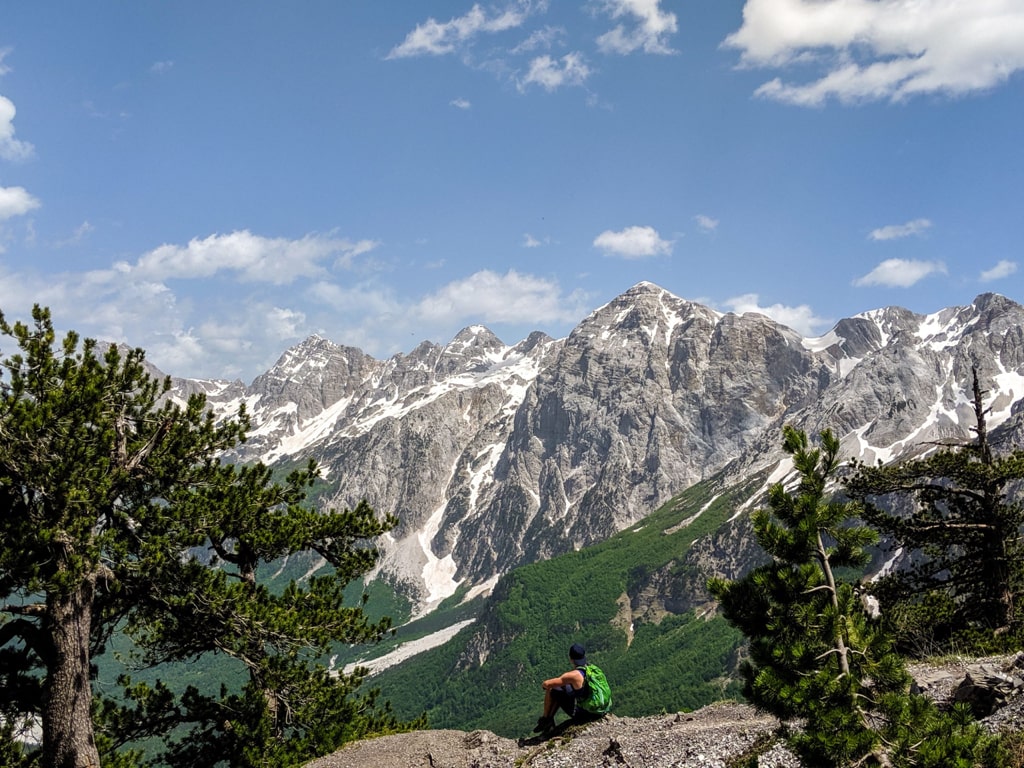
It is impossible to hike this trail year-round, as the mountain pass (Valbona Pass) becomes too icy and snowy. Near the pass, it might be very dangerous. The snow remains in some parts of the trail until late June, but you can pass through it. So, the trail is accessible only during the June – November time frame. Starting from December until May, it is almost impossible to go, because the snow goes up to 2 meters.
4. Valbonë to Theth is not an easy hike and you need proper hiking gear
The trail is in great condition however sometimes it is slippery in parts where you have small stones and rocks along the path.
I would suggest wearing hiking boots with a good grip. And if you have sticks, take them with you. The sticks will give you extra support when coming down. The distance of Valbona to Theth hike is 12 km, and the elevation gain is around 950 m.
3. In some parts, you may get lost
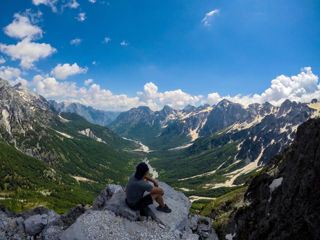
The trail is well marked and many tourists are doing it every day. But, you need to make sure you will not mix the signs. Some tourists, in a part of the trail, mix the signs and follow the path to a peak. You need to take the left to go to Theth. If you follow the right path, you reach the highest peak of the Accursed mountains – Maja Jezerce 2694 m/alt:
2. You can find some water sources along the hike
This trail has four to five water sources. The water flows directly from the spring, therefore it is very fresh and you can drink it. Besides this, there are 3 cafés (mountain hut style) along the way. You can eat a snack or have a drink here.
1. The views are fantastic
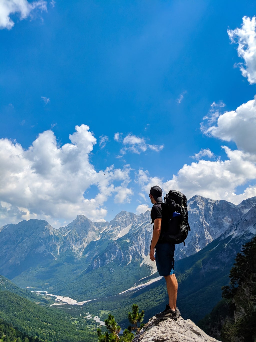
If you decide to go through this trail, definitely it will be worth it. The view from the Valbona Pass peak is breathtaking. Check out:
Thank you for reading Valbonë to Theth – 5 things you need to know before heading out this trail. If you like it, please feel free to share it.