For the trail · alpventurer.com/valbona-to-theth
Valbona to Theth, Accursed Mountains, Albania
Valbona to Theth · Albania
- Time
- around 6 h
- Difficulty
- Moderate
- Season
- mid-May to mid-November
- Water
- About 1 litre; two to three water sources
- Parking
- Free
In short
This moderate hike in Albania’s Accursed Mountains runs from Valbona to Theth, covering 12.16 km in around 6 hours. It reaches Qafa e Valbones at around 1,795 m; the post recommends about one litre of water and mentions two to three water sources along the way.
The route: Valbone - Theth
- Distance
- 12.2 km
- Ascent
- +961 m
- Descent
- −965 m
- High point
- 1,795 m
- Lowest point
- 1,008 m
A Fusha e Gjes’: 42.42618, 19.87099B Theth: 42.40230, 19.77663▲ Qafa e Valbones (Valbona Pass): 42.40550, 19.81617
Walking time, without breaks
- Relaxed8 h 20 min
- Average6 h 40 min
- Fast5 h 20 min
How steep
- Under 8% 3.6 km
- 8 to 15% 2.6 km
- 15 to 25% 2.8 km
- Over 25% 2.5 km
In two parts
- Up to Qafa e Valbones (Valbona Pass) 7.3 km · +968 m
- Down to Theth 4.2 km · −887 m
The route: Theth - Valbona (via Valbona Pass peak and Valbona Peak)
- Distance
- 13.1 km
- Ascent
- +1,142 m
- Descent
- −840 m
- High point
- 1,948 m
- Lowest point
- 806 m
A Fusha e Gjes’: 42.39778, 19.77208B Theth: 42.42595, 19.87062▲ High point: 42.40388, 19.81813
Walking time, without breaks
- Relaxed8 h 55 min
- Average7 h 10 min
- Fast5 h 40 min
How steep
- Under 8% 5.3 km
- 8 to 15% 3.0 km
- 15 to 25% 1.9 km
- Over 25% 2.9 km
In two parts
- Up to the high point 6.1 km · +1,144 m
- Down to Theth 7.1 km · −840 m
What to pack
Every hike
- Water: about 2.5 litres (half a litre an hour)
- Food and snacks for the day
- Rain jacket
- A warm layer (fleece or light down)
- Sun cap, sunglasses and sun cream
- Boots or trail shoes with good grip
- Phone with the map offline, and a power bank
- Small first aid kit
- Headlamp, in case it gets late
- Some cash and your ID
The guide
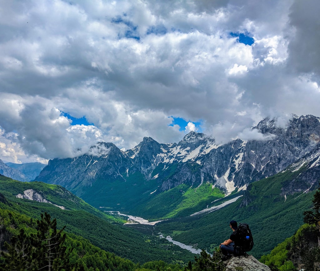
Valbona to Theth (Valbona Theth) is one of the most beautiful and popular hikes in the Accursed mountains (Prokletije). During this hike, you will enjoy the view of the Valbona Valley and then Theth Valley. If you plan to take this hike, you will meet a lot of outdoor enthusiasts from all around the world.
How to get to Valbona Valley National Park
Valbona Valley is 22 km from the city called Bajram Curri. Reaching Bajram Curri from Tirana takes around four hours. The bus station in Tirana is in front of Asllan Rusi Sports Center.
Another way to reach Bajram Curri is from Prishtina, Kosovo. First, you go from Prishtina Main Bus Station to Gjakova Bus station and then from Gjakova take the bus to Bajram Curri.
Where to sleep and eat
In Valbona Valley there are a lot of Guesthouses, which are cheap, traditional, cozy and they serve you very delicious food. During the summer, the Guesthouses are usually full of tourists, so make sure to book them early.
About the Valbona to Theth hike
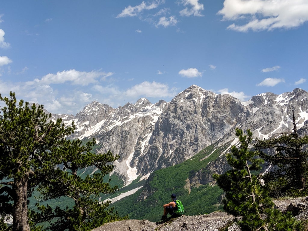
This hike is a moderate one, and the path is open from the middle of May until the middle of November. During the winter a part of this trail is closed and very dangerous.
The starting point is from Fusha e Gjes’ (around 1000 m/alt) in Valbona Valley. From Fusha e Gjes’ you go through a small village called Rrogam then the path until Te Simoni – a small cafe (there is a spring – water source). Then you follow the path, take the left to go to Theth. If you follow the right path, you reach the highest peak of the Accursed mountains – Maja Jezerce 2694 m/alt.
The highest peak of this trail is Qafa e Valbones (Valbona pass) and the altitude is around 1’795 m/alt. You need around one liter of water for this hike. You have two to three water sources during the path.
The next peak called Valbona peak is around 20 min from there, view from there is majestic.
The distance of Valbona to Theth hike is 12.16 km, and elevation gain is around 961 m. You can finish this trail for around 6 hours.
Theth is one of the most popular and beautiful destinations of the Albanian Alps. Read more: Theth and Nderlysa