For the trail · alpventurer.com/maja-skarpa
Maja Skarpa, impressive views in Sharr Mountains
Maja Skarpa · Kosovo
- Difficulty
- Moderate
- Water
- No water source; take around 2 litres
- Parking
- Free
In short
Maja Skarpa is a moderate hike in Kosovo’s Sharr Mountains, starting from Zaplluxhe. The route covers 21.1 km, gains 1,100 m and reaches 2,476 m. There is no water source on the route, so take around 2 litres. The trail is suitable for hiking from summer and for snowshoeing in winter.
The route
- Distance
- 21.1 km
- Ascent
- +1,100 m
- Descent
- −1,190 m
- High point
- 2,476 m
- Lowest point
- 1,293 m
A Zaplluxhe: 42.12839, 20.76340▲ Maja Skarpa: 42.07781, 20.78438
Walking time, without breaks
- Relaxed10 h 50 min
- Average8 h 40 min
- Fast6 h 55 min
How steep
- Under 8% 5.0 km
- 8 to 15% 7.1 km
- 15 to 25% 7.1 km
- Over 25% 0.5 km
In two parts
- Up to Maja Skarpa 10.1 km · +1,173 m
- Back down to Zaplluxhe 9.5 km · −1,176 m
What to pack
Every hike
- Water: about 3.5 litres (half a litre an hour), all of it: no water on the way
- Rain jacket
- A warm layer (fleece or light down)
- Sun cap, sunglasses and sun cream
- Boots or trail shoes with good grip
- Phone with the map offline, and a power bank
- Small first aid kit
- Headlamp, in case it gets late
- Some cash and your ID
For the summit
- Hat and gloves: it is colder and windier at the top
- Walking poles, for the way down
For a long day
- Lunch, and a snack for every two hours
- Salty snacks or electrolytes
- Blister plasters
The guide
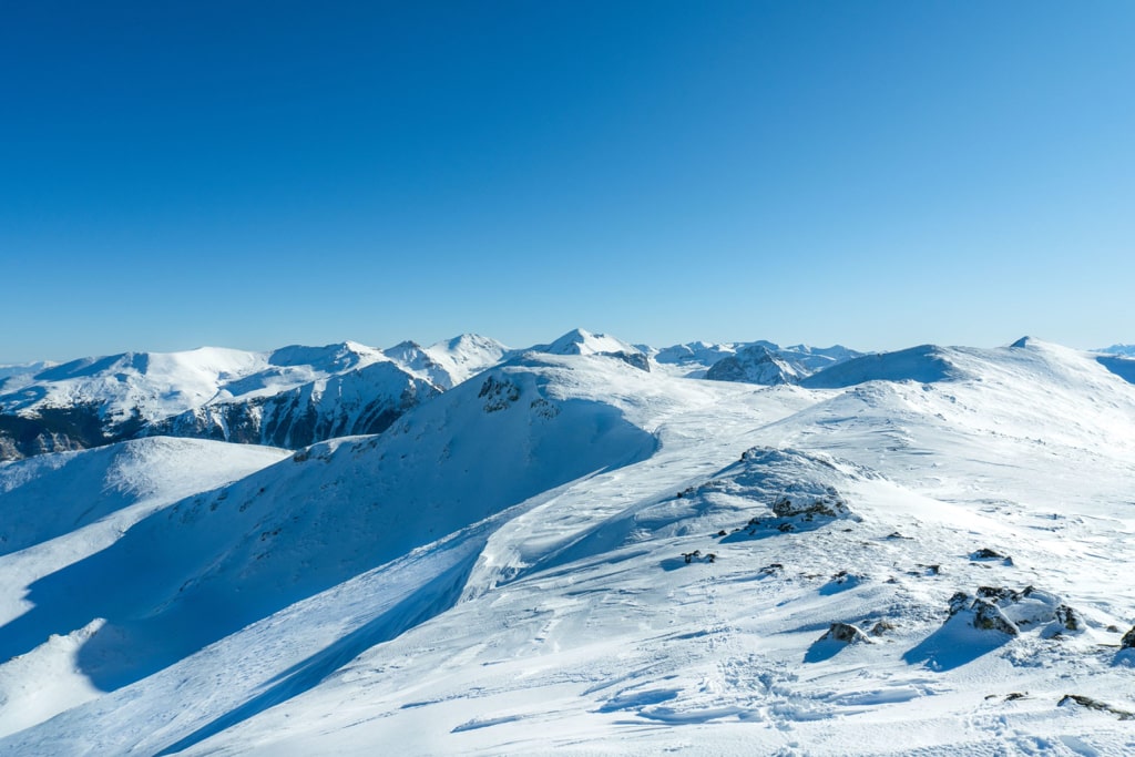
Maja Skarpa is a very beautiful mountain which is located in the southern part of Kosovo, on the border between Kosovo and Macedonia. The elevation of Maja Skarpa mountain is 2’476 m/alt and it is part of Sharr Mountains range. During this hike, you can enjoy a lot of beautiful 360-degree views of the mountains which surround this mountain peak.
How to get there
The starting point for this hike is to the village called Zaplluxhe, which is located in the town of Dragash, southern Kosovo. To go to Dragash, first of all, you need to follow the road to Prizren. After you arrive at Prizren, follow the road to Dragash, after 25 km, in the village of Plavë, turn left to Zaplluxhe. The distance is around 10 km. In Zaplluxhe you can find a mini market to buy food and drinks.
About the Maja Skarpa hike
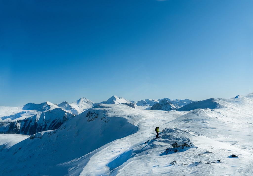
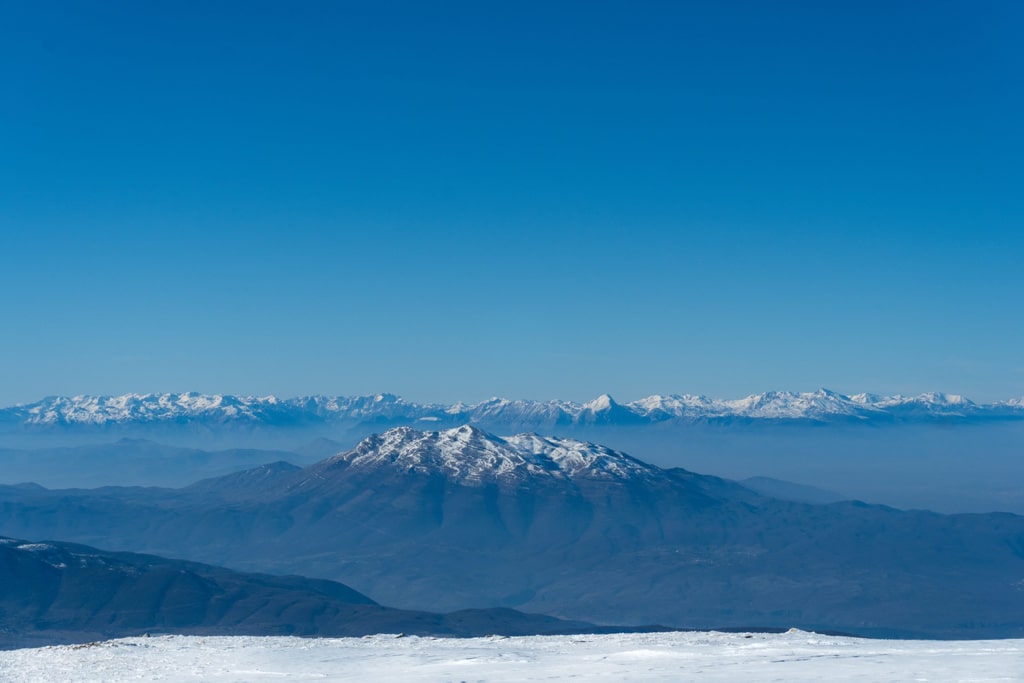
When you arrive at Zaplluxhe, head up to a place called Guri i Zi, which is the starting point for this hike. The hike is moderate, and ascending is gradual, you will go through some hills until you will arrive at the ridge. There you will follow the ridge to the peak. The view from the peak is extremely impressive. From there, you can enjoy the view of the Sharr Mountains, and the view of Pashtrik mountain. I hiked this mountain during the winter, and the trail was great for snowshoeing too. During the summer, the trail is meadowy and easy to follow. The sunset from this mountain is very impressive too, for the reason that the sun sets in front of you, behind the Pashtrik mountain.
There isn’t any water source, therefore take around 2 liters of water.
Points of interest:
Starting point: Zaplluxhe, Kosovo
Starting altitude: 1’285 m/alt
Highest altitude: 2’476 m/alt
Elevation gain: 1’100 m/alt