For the trail · alpventurer.com/maja-jezerce
Maja Jezercë – “The Queen of the Accursed Mountains” 2694 m/alt, Albania
Maja Jezercë · Albania
- Time
- ~10 h
- Difficulty
- Hard
- Season
- Year-round
- Water
- Last water source in spring at Te Simoni bar
In short
Maja Jezercë is a hard hike from Fusha e Gjes’ in Valbona Valley, Albania. The route covers 20.4 km, gains 1,745 m and reaches 2,694 m; it takes around 10 hours. The last water source in spring is at Te Simoni bar.
The route: Summer route
- Distance
- 20.4 km
- Ascent
- +1,745 m
- Descent
- −1,732 m
- High point
- 2,694 m
- Lowest point
- 829 m
A Fusha e Gjes’: 42.42614, 19.87053▲ Maja Jezercë: 42.44218, 19.81285
Walking time, without breaks
- Relaxed14 h 45 min
- Average11 h 50 min
- Fast9 h 30 min
How steep
- Under 8% 8.5 km
- 8 to 15% 3.1 km
- 15 to 25% 4.3 km
- Over 25% 4.5 km
In two parts
- Up to Maja Jezercë 10.2 km · +1,521 m
- Back down to Fusha e Gjes’ 10.1 km · −1,720 m
The route: Winter route
- Distance
- 20.5 km
- Ascent
- +1,692 m
- Descent
- −1,699 m
- High point
- 2,615 m
- Lowest point
- 994 m
A Fusha e Gjes’: 42.42563, 19.87070▲ High point: 42.44184, 19.81299
Walking time, without breaks
- Relaxed14 h 30 min
- Average11 h 35 min
- Fast9 h 15 min
How steep
- Under 8% 7.9 km
- 8 to 15% 3.4 km
- 15 to 25% 3.4 km
- Over 25% 4.4 km
In two parts
- Up to the high point 9.4 km · +1,648 m
- Back down to Fusha e Gjes’ 9.7 km · −1,634 m
What to pack
Every hike
- Water: about 4 litres (half a litre an hour)
- Rain jacket
- A warm layer (fleece or light down)
- Sun cap, sunglasses and sun cream
- Boots or trail shoes with good grip
- Phone with the map offline, and a power bank
- Small first aid kit
- Headlamp, in case it gets late
- Some cash and your ID
For the summit
- Hat and gloves: it is colder and windier at the top
- Walking poles, for the way down
For a long day
- Lunch, and a snack for every two hours
- Salty snacks or electrolytes
- Blister plasters
Snow and ice
- Microspikes or crampons, as the snow needs
- Gaiters
- Insulated jacket and spare gloves
- A hot drink in a flask
- Check the avalanche bulletin before you go
Chains and scrambles
- Helmet, for falling stones
- Gloves for the cables
The guide
Maja Jezercë, the highest peak of Prokletije (the Accursed mountains), is also known as the “Queen of the Alps”. With an elevation of 2694 m/alt. Amazing views during the path!
There are several ways of climbing this mountain. The most popular one is starting from Fusha e Gjes’ in Valbona Valley to Maja Jezercë.
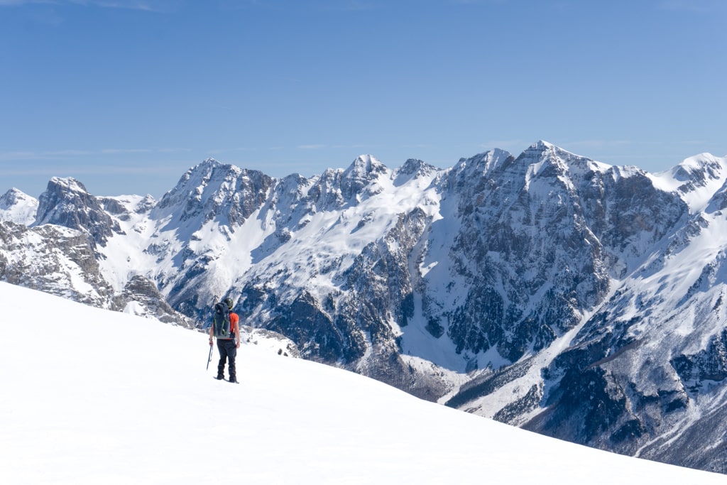
How to get to Valbona Valley National Park
Valbona Valley is 22 km from the city called Bajram Curri. Reaching Bajram Curri from Tirana takes around four hours. The bus station in Tirana is in front of the Asllan Rusi Sports Center.
Another way to reach Bajram Curri is from Prishtina, Kosovo. First, you go from Prishtina Main Bus Station to Gjakova Bus station, and then from Gjakova, take the bus to Bajram Curri.
Where to sleep and eat
Valbona Valley is a charming destination that offers a variety of accommodation options. Among these, the Guesthouses stand out for their affordability, traditional charm, and warm atmosphere. With delicious food on offer, staying in one of these guesthouses is an experience not to be missed.
During the summer months, Valbona Valley is a popular spot for tourists, and the Guesthouses quickly fill up. To avoid disappointment, booking your accommodation well in advance is wise. By doing so, you can secure your spot in one of these cozy and welcoming guesthouses, ensuring that your stay in Valbona Valley is memorable.
About the Valbona to Maja Jezercë hike
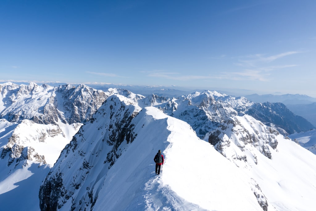
Reaching the summit of Maja Jezerce is an unforgettable adventure, but it’s not for the faint-hearted. With a total ascent and descent time of around 10 hours (14 hours during winter), starting hiking early in the morning is crucial to avoid running out of daylight. As you make your way up the mountain, be prepared for rocky terrain and ensure you bring a helmet for added protection.
During certain times of the year, crampons and an ice axe may also be necessary, particularly in areas affected by snowfall. While Maja Jezerce can be climbed year-round, it’s important to be mindful of the conditions and avoid dangerous routes.
The journey to the summit begins in Fusha e Gjes, Valbona Valley, passing through the small village of Rrogam before reaching the last water source at the “Te Simoni” bar during the spring. From there, follow the trail and keep an eye out for a small sign indicating the left path to the village of Theth (Valbone – Theth), or the right path to Maja Jezerce.
On the ascent, you’ll encounter a fixed rope near the summit, which can provide an added boost of confidence as you make your way to the top. However, be sure not to confuse the trail with another peak near Jezerca, known as Popluka Peak. With proper preparation and attention to detail, the summit of Maja Jezerce can be an unforgettable highlight of your hiking journey.
Points of interest:
Starting point: Fusha e Gjes’, Valbona
Starting altitude: 949 m/alt
Highest altitude: 2’694 m/alt
Elevation gain: 1’745 m/alt