For the trail · alpventurer.com/liqenat-kuqishte
Liqenat, Kuqishte a great hiking trip in the border between Kosovo and Montenegro
Liqenat · Kosovo
- Difficulty
- Easy
- Season
- Winter (snowshoeing)
- Water
- Last source in the forest; carry around 2 litres
- Parking
- Free
In short
The Liqenat hike starts at Guri i Kuq in Kuqishte, Kosovo, and visits Kuqishtë and Drelaj lakes. It is an easy 8 km route with 654 m of ascent, reaching 1,874 m. The last water source is in the forest, so carry around 2 litres. In winter, the trail is suitable for snowshoeing.
The route
- Distance
- 8.0 km
- Ascent
- +654 m
- Descent
- −494 m
- High point
- 1,874 m
- Lowest point
- 1,226 m
A Vila Guri i Kuq, Kuqishte: 42.68870, 20.07987B Finish: 42.68403, 20.08163▲ High point: 42.66873, 20.08885
Walking time, without breaks
- Relaxed5 h 15 min
- Average4 h 10 min
- Fast3 h 20 min
How steep
- Under 8% 0.7 km
- 8 to 15% 2.1 km
- 15 to 25% 2.4 km
- Over 25% 1.4 km
In two parts
- Up to the high point 3.9 km · +667 m
- Down to the finish 2.7 km · −492 m
What to pack
Every hike
- Water: about 1.5 litres (half a litre an hour)
- Food and snacks for the day
- Rain jacket
- A warm layer (fleece or light down)
- Sun cap, sunglasses and sun cream
- Boots or trail shoes with good grip
- Phone with the map offline, and a power bank
- Small first aid kit
- Headlamp, in case it gets late
- Some cash and your ID
For the summit
- Hat and gloves: it is colder and windier at the top
- Walking poles, for the way down
Snow and ice
- Microspikes or crampons, as the snow needs
- Gaiters
- Insulated jacket and spare gloves
- A hot drink in a flask
- Check the avalanche bulletin before you go
Water and sun
- Swimsuit and a quick-dry towel, if you fancy a dip
The guide
Liqenat (also known as Leqinat) is a mountain lake and peak in the border between Kosovo and Montenegro located near Kuqishte village. If you are planning an outdoor day activity – moderate hiking trip, combined with a picnic in one of the 2 lakes, this place is perfect. This destination is one of the most popular outdoor destinations in Kosovo.
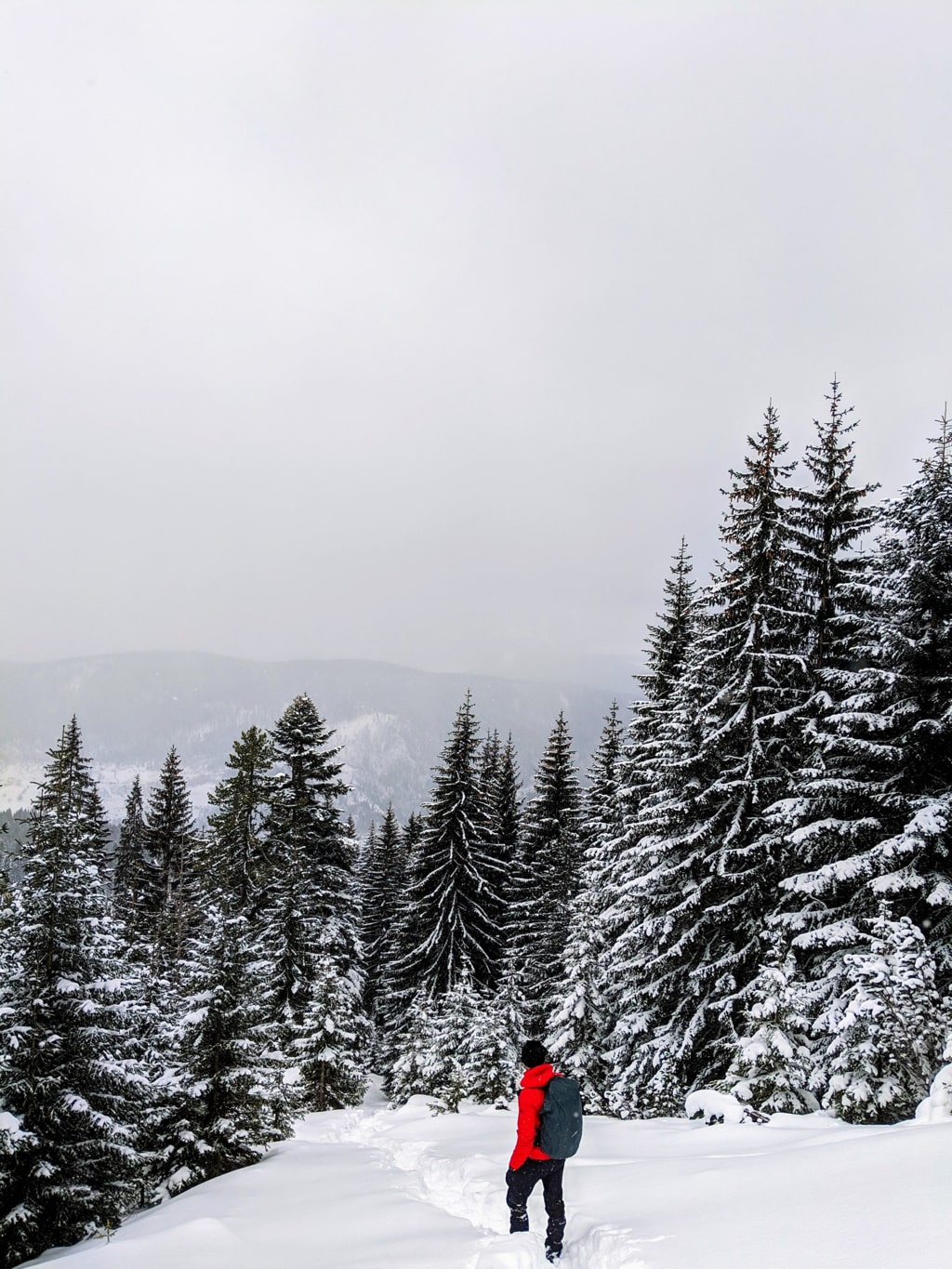
How to get there
The starting point for this hike is a restaurant called Vila Guri i Kuq, which is located in the village called Kuqishtë. Going there is very easy and the road is paved.
First, you need to go to the city of Peja, where you can find the last supermarkets. Then, you will follow the road to the Monastery of Peja which leads you to the beautiful Rugova Canyon. After passing through Rugova Canyon, you will go through a bridge. You need to turn left (Follow the signs to Vila Guri i Kuq). The restaurant serves great traditional meals. You can park the car, and start your hiking trip.
About the Liqenat hike
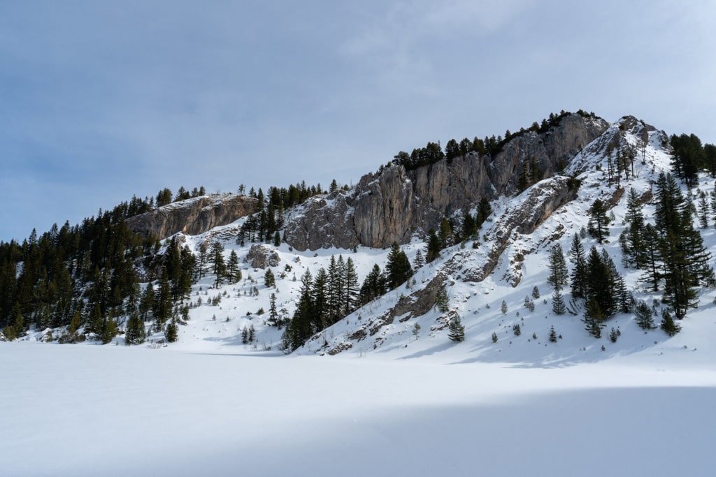
From Guri i Kuq, Kuqishte you need to continue ascending through a forest, and there you can find the last water source. You just need to follow the signs through a sheep path and you will be to the first lake called Kuqishtë lake. The distance is around 2.5 km. There you can have a break and then move forward to the next lake called Drelaj lake. This lake is smaller than the first one. The distance between the two lakes is around 1.5 km. The path has signs and it is easy to follow.
During the winter this hiking trail is perfect for snowshoeing.
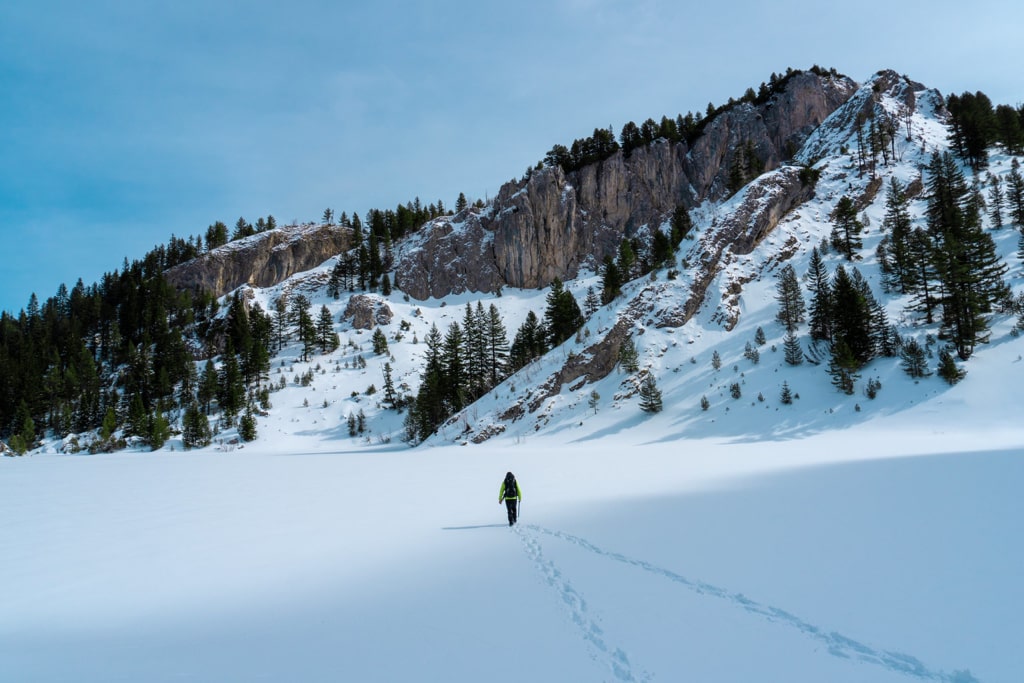
This hike is an easy one, the total distance is around 8 km, therefore you need around 2 liters of water.
Points of interest:
Starting point: Restaurant Guri i Kuq, Peja
Starting altitude: 1’405 m/alt
Highest altitude: 1’874 m/alt
Elevation gain: 654 m/alt