For the trail · alpventurer.com/kopana-voda-prizren
Kopana voda, great hiking trail near Prizren
Kopana voda · Kosovo
- Difficulty
- Easy
- Water
- 2–3 sources; carry 1–2 litres
- Parking
- Free
In short
A day hike from Novoselan near Prizren, climbing to a 1,603 m high point with wide mountain views. The post describes it as suitable for everyone and notes 2–3 water sources along the trail.
The route
- Distance
- 11.0 km
- Ascent
- +591 m
- Descent
- −581 m
- High point
- 1,603 m
- Lowest point
- 1,032 m
A Novoselan: 42.20807, 20.77843▲ High point: 42.20731, 20.83328
Walking time, without breaks
- Relaxed5 h 40 min
- Average4 h 30 min
- Fast3 h 35 min
How steep
- Under 8% 3.2 km
- 8 to 15% 5.8 km
- 15 to 25% 1.6 km
- Over 25% 0.4 km
In two parts
- Up to the high point 6.1 km · +588 m
- Back down to Novoselan 4.9 km · −565 m
What to pack
Every hike
- Water: about 2 litres (half a litre an hour)
- Food and snacks for the day
- Rain jacket
- A warm layer (fleece or light down)
- Sun cap, sunglasses and sun cream
- Boots or trail shoes with good grip
- Phone with the map offline, and a power bank
- Small first aid kit
- Headlamp, in case it gets late
- Some cash and your ID
The guide
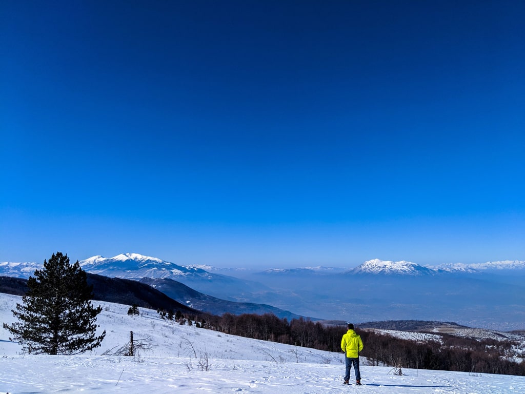
This is the view you will get if you hike for around 2 hours from Prizren. Kopana voda, is a perfect day trip hiking, appropriate for everyone who wants to spend some more time in nature.
Kopana voda, in Serbian means, dug water. Based on the local people, the reason for the name gets from the cold water streaming out of the ground.
How to get there
The starting point for this trail is in Novoselan, a small village inhabited with Torbesh community.
You begin from the downtown towards to Novoselan (Novosellë). The distance from Prizren to Novoselan is around 7 km (2 hours of walking or 20 minutes by car). The road from Prizren to Novoselan is so beautiful. Check it out:
In Novoselan near the village mosque, you can leave the car and start the hike. There isn’t any supermarket in this village, so I would suggest buying food and drinks in Prizren.
About the hike to Kopana Voda
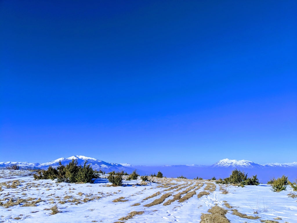
When you leave the car in Novoselan, you start ascending uphill through an unpaved road. After walking for around 2 km, you will have a water source and a beautiful view. After that, you will ascend through a forest until you arrive at the mountain huts. In around 200 meters you will have the main mountain hut.
300 meters from this mountain hut you will have the highest hill there, where you will have a lot of 360-degree views, starting from Oshlak mountain, Sharr mountains range, Accursed mountains range, Pashtrik, and Koritnik mountain.
There are 2-3 water sources along the trail, therefore take around 1-2 liters of water.
Points of interest:
Starting point: Novoselan, Prizren
Starting altitude: 1’028 m/alt
Highest altitude: 1’603 m/alt
Elevation gain: 591 m/alt