For the trail · alpventurer.com/jazhinca
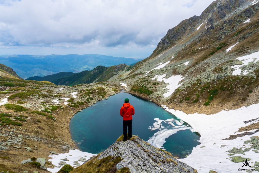
Jazhinca, heart-shaped lake in Sharr Mountains
Jazhinca · Kosovo
- Difficulty
- Easy
- Season
- All seasons, especially early summer
- Water
- Many water sources along the way; carry around 1 litre
- Parking
- Free
In short
This easy day hike in Kosovo’s Sharr Mountains leads from near Prevalla to Jazhinca Lake. The lake is at 2,180 m, and the post says there are many water sources along the way; carry around 1 litre.
The route
- Distance
- 16.2 km
- Ascent
- +774 m
- Descent
- −900 m
- High point
- 2,180 m
- Lowest point
- 1,407 m
A Prevalla: 42.17524, 20.97581▲ Jazhinca Lake: 42.15268, 20.99508
Walking time, without breaks
- Relaxed8 h
- Average6 h 25 min
- Fast5 h 5 min
How steep
- Under 8% 6.3 km
- 8 to 15% 6.2 km
- 15 to 25% 2.2 km
- Over 25% 0.9 km
In two parts
- Up to Jazhinca Lake 7.9 km · +838 m
- Back down to Prevalla 7.7 km · −839 m
What to pack
Every hike
- Water: about 2.5 litres (half a litre an hour)
- Rain jacket
- A warm layer (fleece or light down)
- Sun cap, sunglasses and sun cream
- Boots or trail shoes with good grip
- Phone with the map offline, and a power bank
- Small first aid kit
- Headlamp, in case it gets late
- Some cash and your ID
For the summit
- Hat and gloves: it is colder and windier at the top
- Walking poles, for the way down
For a long day
- Lunch, and a snack for every two hours
- Salty snacks or electrolytes
- Blister plasters
Water and sun
- Swimsuit and a quick-dry towel, if you fancy a dip
The guide
Jazhinca is a mountain lake in Kosovo, which is located in Sharr Mountains (Šar Mountains). The elevation of this lake is 2’180 m/alt.
How to get there
The starting point for this trail is near the touristic village of Prevalla, Prizren. The distance between Prevalla and the starting point is around 3 km. There are two ways to get to Prevalla. The first way is from the city of Prizren, you will go through some villages and Sharr Mountains range. When you arrive in Prevalla, you continue the road to Brezovica. On the right side of the road, you will see a water spring. There is the starting point of the trail.
The other way is to go through the town of Shterpce. Once you arrive in Shterpce you continue to Brezovica, and then just follow the road to Prevalla. 3 km before arriving in Prevalla, you will see the water spring on the left.
About the Prevalla – Jazhinca lake hike
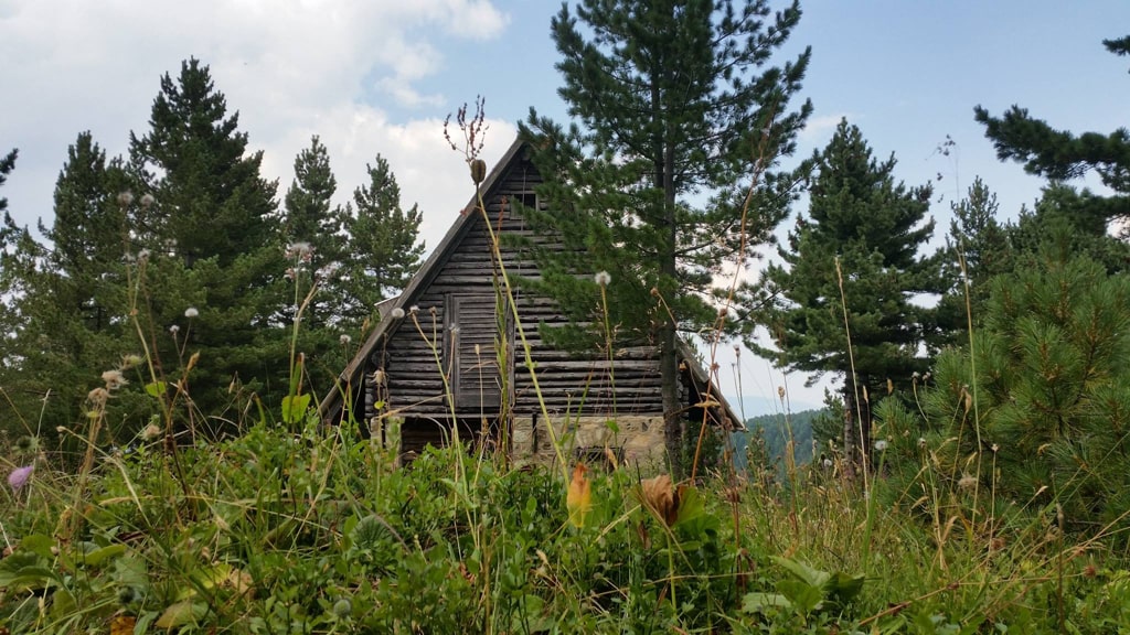
Hiking to Jazhinca lake, it’s an easy and very beautiful daily hiking trip. Most of the hike is going through forests. After 2.6 km you have to cross one little river which is just too deep, so take off the shoes and walk through the cold water. After 7 km for 1.3 km, the terrain is rocky. When you arrive at this lake, the view is amazing. You will be surrounded by the beautiful Sharr Mountains range. The highest peak is Bistra 2’651 m/alt. This is a glacial lake, so it’s a very cold one. However, you can try to swim there! The heart-shape is visible from a rock around 50 m above the lake, where the rock covers a part of the lake.
This trail is beautiful during all the seasons, especially in early summer. There are a lot of water sources all the way up, so take around 1 liter of water.
During all the trail you will have signs, and the path is visible. The distance of this trail is 16.2 km.
Points of interest:
Starting point: Prevalla, Kosovo
Starting altitude: 1’406 m/alt
Highest altitude: 2’180 m/alt
Elevation gain: 774 m/alt