For the trail · alpventurer.com/panarea-aeolian-hike
Panarea, Aeolian: Island Loop to Punta del Corvo (421 m)
Panarea · Italy
In short
Panarea island loop via Spiaggia Fumarole, Punta del Corvo and Punta Cardosi: 7.4 km, 450 m gain, ferries, best season and tips.
The route
- Distance
- 7.4 km
- Ascent
- +450 m
- Descent
- −439 m
- High point
- 423 m
- Lowest point
- 11 m
A Start: 38.63686, 15.07577▲ High point: 38.63811, 15.06351
Walking time, without breaks
- Relaxed4 h 10 min
- Average3 h 20 min
- Fast2 h 40 min
How steep
- Under 8% 3.7 km
- 8 to 15% 1.5 km
- 15 to 25% 1.1 km
- Over 25% 1.2 km
In two parts
- Up to the high point 3.3 km · +408 m
- Back down to the start 4.2 km · −441 m
What to pack
Every hike
- Water: about 1.5 litres (half a litre an hour)
- Food and snacks for the day
- Rain jacket
- A warm layer (fleece or light down)
- Sun cap, sunglasses and sun cream
- Boots or trail shoes with good grip
- Phone with the map offline, and a power bank
- Small first aid kit
- Headlamp, in case it gets late
- Some cash and your ID
The guide
The Panarea island loop is a 7.4 km hike with 450 m of elevation gain on the smallest inhabited island of the Aeolian Islands, in Sicily, Italy. It passes Spiaggia Fumarole, climbs to Punta del Corvo (421 m), the highest point of the island, and continues to Punta Cardosi.
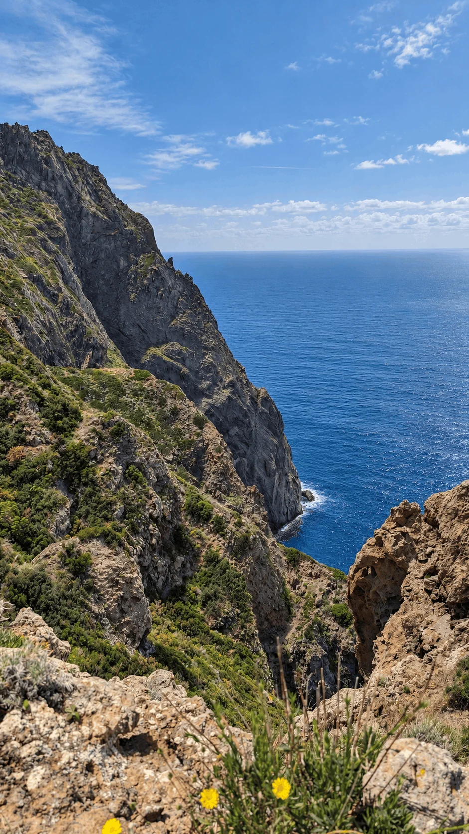
We hiked it during our trip to the Aeolian Islands. Panarea feels softer and greener than the other islands, and it is small enough to walk across, but it still has fumaroles, quiet coves and high ridges with views over the sea.
Points of interest
| Starting point | Panarea port |
| Distance | 7.4 km |
| Elevation gain | 450 m |
| Highest point | Punta del Corvo, 421 m |
| Difficulty | Moderate |
| Trail type | Loop |
| Shade | Very little |
| Best season | May to June, September to October |
How to get to Panarea
Panarea is connected by ferries and hydrofoils from Milazzo, Messina and Naples. We reached the Aeolian Islands from Catania: first to Messina, then to Milazzo, and from there by speedboat to Lipari, the largest island and a good base for exploring the archipelago.
The hike starts at the Panarea port, where the ferries arrive. On the island you don’t need a car or a scooter, because it is small and you can walk everywhere.
About the Panarea hike
The loop is a mix of coastal paths and steep climbs through Mediterranean scrub. These are the main points along the way:
- Spiaggia Fumarole
- Punta del Corvo, 421 m
- Punta Cardosi
Punta del Corvo
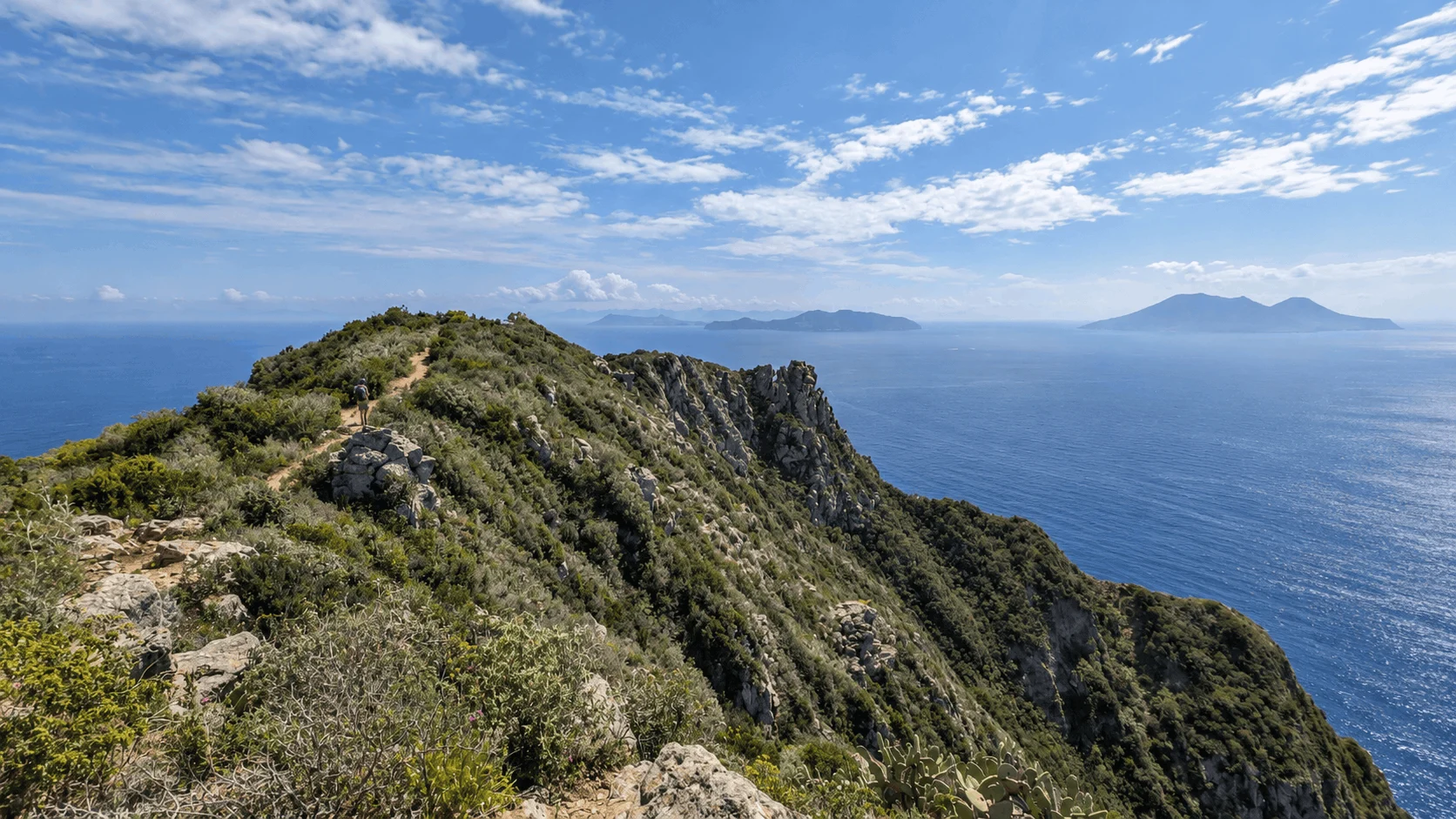
Punta del Corvo is the highest point of Panarea. From the top, you can see almost the whole archipelago.
Trail conditions
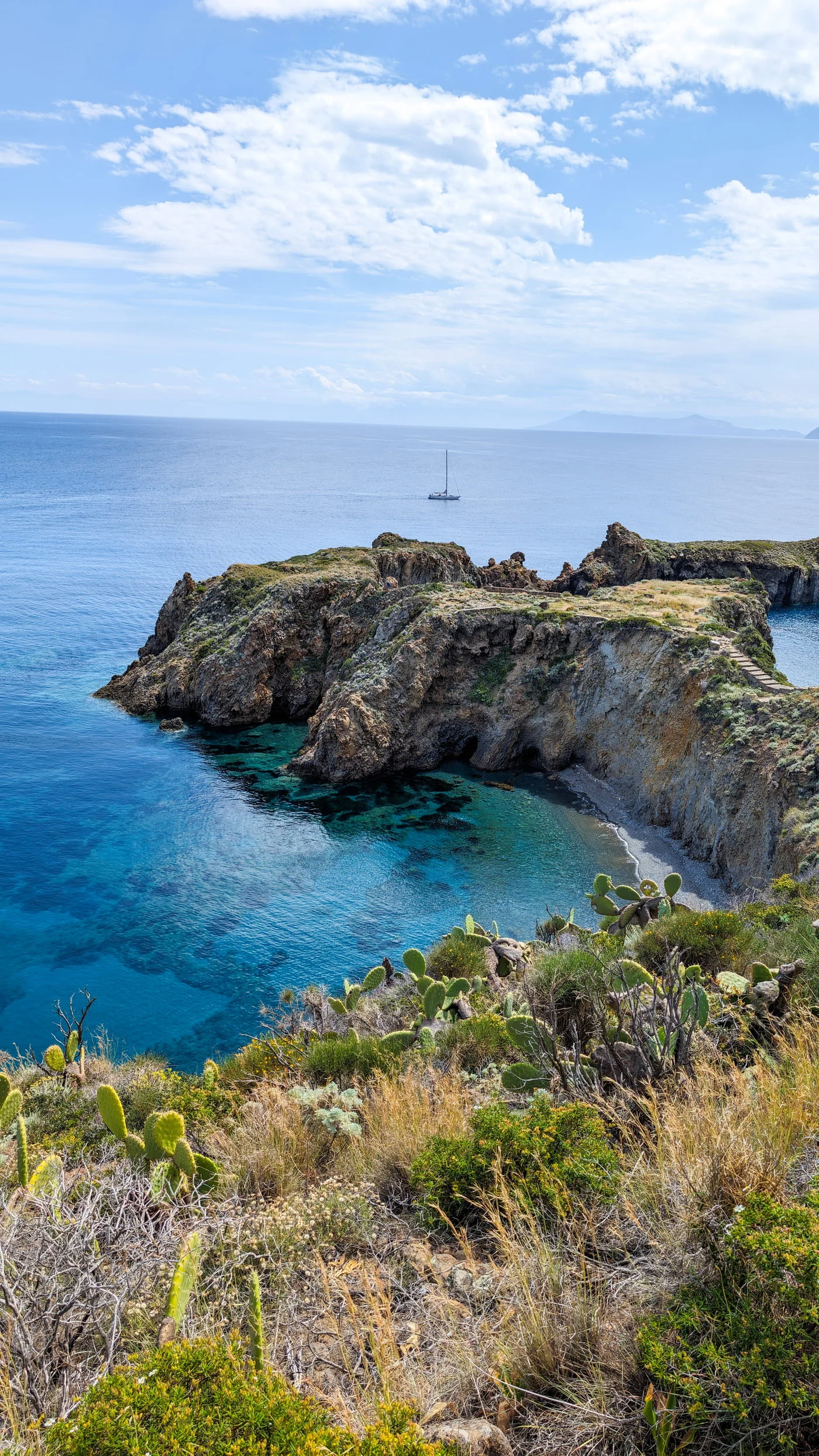
The climbs are steep, and the volcanic gravel is slippery, so wear proper trail shoes, not sandals. There is very little shade on the trail, and the sun is strong, so start early and carry enough water.
Best time to hike on Panarea
The best months are May to June and September to October. Whatever month you go, start early in the day.
Ferries and weather
The night after our hike, strong waves kept us one extra day. This happens often in the Aeolian Islands, because ferries and small boats depend on the wind. Ferry schedules often change with the weather, so always check your return options in advance.
Map of the Panarea hike
You can download the GPX file and follow the trail:
Download the GPX of the Panarea loop
Frequently asked questions
How long is the hike on Panarea?
The island loop from the Panarea port via Spiaggia Fumarole, Punta del Corvo and Punta Cardosi is 7.4 km, with 450 m of elevation gain.
What is the highest point of Panarea?
Punta del Corvo, at 421 m. The hike goes over the top, and from there you can see almost the whole Aeolian archipelago.
Is the Panarea hike difficult?
It is a moderate hike. The distance is short, but some climbs are steep, the volcanic gravel is slippery, and there is little shade.
How do you get to Panarea?
By ferry or hydrofoil from Milazzo, Messina or Naples. Check the return schedule in advance, because boats are often cancelled when the sea is rough.
When is the best time to hike on Panarea?
May to June and September to October. Start early in the day, because the sun is strong and there is almost no shade.