For the trail · alpventurer.com/neuhaus-bodenschneid
Hiking from Neuhaus to Bodenschneid – A Spectacular Day Trip
Hiking from Neuhaus to Bodenschneid · Germany
- Difficulty
- Challenging
- Parking
- Car park near the start, Paid: 2-10 €, 47.705691, 11.874828
In short
The Bodenschneid hike starts at the Dürnbachstrasse car park in Neuhaus and covers 12.7 km, with 841 m of ascent to 1,668 m. It is challenging, with rocky steps, a rope-secured section and a short gully near the summit.
The route: Wikiloc - Neuhaus Bahnhof - Bodenschneid (1668 m) - Neuhaus
- Distance
- 12.7 km
- Ascent
- +841 m
- Descent
- −842 m
- High point
- 1,668 m
- Lowest point
- 809 m
A Neuhaus: 47.70582, 11.87436▲ Bodenschneid: 47.67176, 11.83818
Walking time, without breaks
- Relaxed7 h 35 min
- Average6 h 5 min
- Fast4 h 50 min
How steep
- Under 8% 3.4 km
- 8 to 15% 4.8 km
- 15 to 25% 3.4 km
- Over 25% 1.2 km
In two parts
- Up to Bodenschneid 6.3 km · +854 m
- Back down to Neuhaus 6.4 km · −843 m
The route: Wikiloc - Neuhaus Bahnhof - Bodenschneid (1668 m) - Neuhaus
- Distance
- 12.7 km
- Ascent
- +853 m
- Descent
- −842 m
- High point
- 1,663 m
- Lowest point
- 809 m
A Neuhaus: 47.70582, 11.87436▲ High point: 47.67176, 11.83818
Walking time, without breaks
- Relaxed7 h 40 min
- Average6 h 5 min
- Fast4 h 55 min
How steep
- Under 8% 3.4 km
- 8 to 15% 4.8 km
- 15 to 25% 3.4 km
- Over 25% 1.2 km
In two parts
- Up to the high point 6.3 km · +854 m
- Back down to Neuhaus 6.4 km · −843 m
What to pack
Every hike
- Water: about 2.5 litres (half a litre an hour)
- Food and snacks for the day
- Rain jacket
- A warm layer (fleece or light down)
- Sun cap, sunglasses and sun cream
- Boots or trail shoes with good grip
- Phone with the map offline, and a power bank
- Small first aid kit
- Headlamp, in case it gets late
- Some cash and your ID
For the summit
- Hat and gloves: it is colder and windier at the top
- Walking poles, for the way down
The guide
Embark on an unforgettable alpine journey as you hike from Neuhaus to Boden Schneid, a stunning peak in the Schlierseer mountains. This day trip promises panoramic vistas, challenging terrains, and a rewarding sense of accomplishment. Discover the magic of nature, conquer rocky trails, and soak in breathtaking views of Tegernsee, Mangfall Mountains, and Karwendel. Lace up your hiking boots and get ready to explore this remarkable Bavarian gem.
How to get there
The trail begins at the Dürnbachstrasse car park in Neuhaus (850 m).
If you’re driving, follow the Munich-Salzburg motorway to the Weyarn exit. Continue through Weyarn, Miesbach, Hausham, and Schliersee until you reach Neuhaus. After crossing the level crossing, take the second right onto Josefstal and immediately another right onto Dürnbachstrasse, where you’ll find the hikers’ car park.
Alternatively, opt for a scenic train ride from Munich Central Station to Fischhausen-Neuhaus. From there, a short 20-minute walk along Waldschmidtstraße and Dürnbachstraße brings you to the starting point.
About Neuhaus to Bodenschneid hike
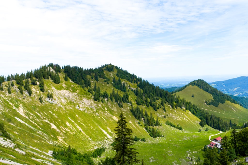
From the Dürnbachstrasse car park in Neuhaus (850 m), ascend towards Boden Schneidhaus (1365 m), where you’ll find a charming alpine hut. The initial stretch offers a leisurely hike, winding through wide roads and a brief forest path. Indulge in the peaceful beauty of the surroundings while journeying to the Raineralm meadows.
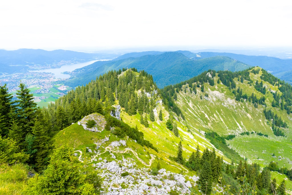
From the Bodenschneidhaus, the trail takes on a more adventurous character. Prepare for a partly stony path with rocky steep steps leading to the promising summit of Bodenschneid (1’668 m). Traverse a rope-secured section and conquer a short gully, adding an element of excitement to your ascent. While the climb demands sure-footedness, the unparalleled views awaiting you make every step worthwhile.
The Neuhaus to Boden Schneid hiking trail promises an exhilarating day trip filled with natural beauty, challenges, and triumphs. Immerse yourself in the allure of the Schlierseer mountains, from tranquil forest paths to adrenaline-pumping rocky ascents. Climb the Bodenschneid and stand atop a world of awe-inspiring views, a testament to your adventurous spirit. Experience the magic of Bavaria’s alpine wonderland on this unforgettable journey.
Points of interest:
Starting point: Neuhaus Bahnhof
Starting altitude: 810 m/alt
Highest altitude: 1’668 m/alt
Elevation gain: 841 m