For the trail · alpventurer.com/lepushe-vajusha
Lëpushë to Vajusha peak, a beautiful hike in a stunning village of the Northern Albania
Lëpushë to Vajusha peak · Albania
- Difficulty
- Easy
- Water
- Two sources; carry around 1.5–2 liters
- Parking
- Free
In short
This easy hike starts in Lëpushë, Northern Albania, and climbs to Maja e Vajushës (Talijanka) at 2,056 m. The route is 9 km with 878 m of ascent. There are two water sources along the way; carry around 1.5-2 litres.
The route
- Distance
- 9.0 km
- Ascent
- +878 m
- Descent
- −876 m
- High point
- 2,056 m
- Lowest point
- 1,281 m
A Lëpushë: 42.52661, 19.73160▲ Maja e Vajushës (Talijanka) peak: 42.51606, 19.76016
Walking time, without breaks
- Relaxed7 h 15 min
- Average5 h 50 min
- Fast4 h 40 min
How steep
- Under 8% 1.5 km
- 8 to 15% 1.7 km
- 15 to 25% 2.8 km
- Over 25% 2.7 km
In two parts
- Up to Maja e Vajushës (Talijanka) peak 4.1 km · +785 m
- Back down to Lëpushë 4.5 km · −838 m
What to pack
Every hike
- Water: about 2 litres (half a litre an hour)
- Food and snacks for the day
- Rain jacket
- A warm layer (fleece or light down)
- Sun cap, sunglasses and sun cream
- Boots or trail shoes with good grip
- Phone with the map offline, and a power bank
- Small first aid kit
- Headlamp, in case it gets late
- Some cash and your ID
For the summit
- Hat and gloves: it is colder and windier at the top
- Walking poles, for the way down
The guide
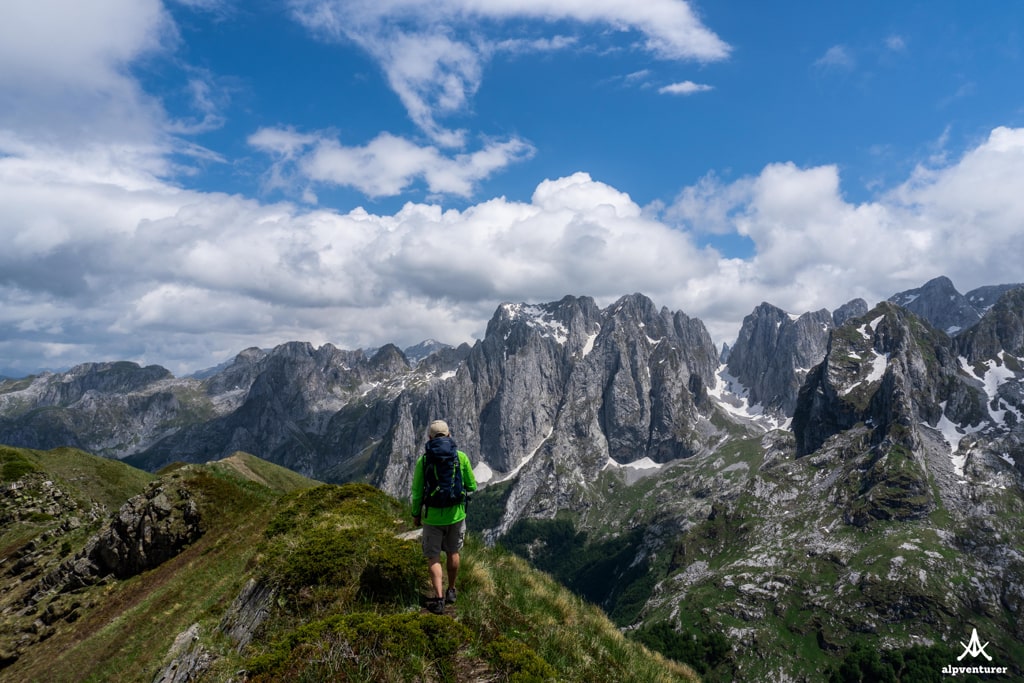
Lëpushë is a small village located in Northern Albania, the border between Albania and Montenegro. It is part of the Kelmend region in Shkodër County. Lëpushë is well known for its beautiful nature, great destination, and strategic point for hiking trails.
From there, you hike to Theth, Vermosh, Maja e Vajushës (Talijanka) peak, Grebaje (Montenegro), etc.
How to get there
Getting to Kelmend is possible from Montenegro or Albania. From Podgorica (capital of Montenegro), you need to pass to the border of Montenegro – Albania (Hani i Hotit), then head to Lëpushë. The total distance is 79 km. From Tirana, first, you need to go to Shkodra, then follow the road to Hani i Hotit. After arriving there, turn right to go to Lëpushë. The distance is 189 km.
During the road, you will go through a very beautiful view called Leqet e Hotit. A stop there is “mandatory”.
Where to sleep and eat
In the Kelmend region, there are a lot of Guesthouses, which are cheap, traditional, and cozy, and they serve you very delicious food. During the summer, the Guesthouses are usually full of tourists, so make sure to book them early.
About the hike in Lëpushë
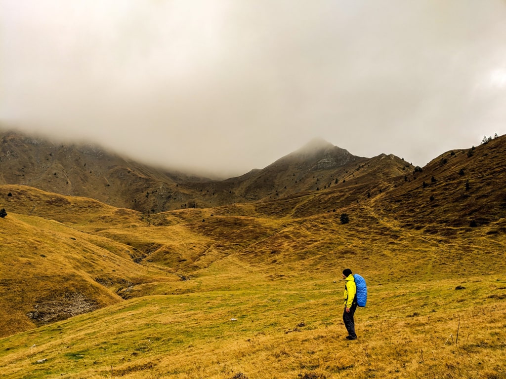
We went for a hike in Maja e Vajushës (Talijanka) peak 2’056 m/alt. Maja e Vajushës (Talijanka) peak has one of the Accursed Mountains’ most beautiful views.
The hike is easy, and you will see some beautiful views. The terrain is meadowy and you have water sources in 2 spots. In the first spot, you will see a very beautiful waterfall in a forest:
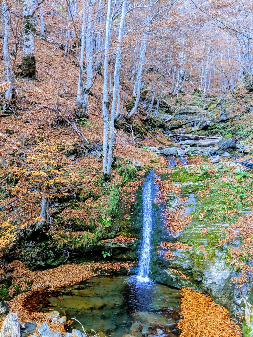
You will continue through the forest for around 1.5 km. Then, you will start seeing some beautiful hills, which you must climb to reach the peak.
The total distance for this trail is around 9 km. There are two water sources; therefore, you need to take around 1.5-2 liters of water.
This trail is not very well signed, therefore, in some parts, you may be easily lost.
Points of interest:
Starting point: Lëpushë, Albania
Starting altitude: 1’279 m/alt
Highest altitude: 2’056 m/alt
Elevation gain: 878 m/alt
Check out the trail; you can download and follow it: