For the trail · alpventurer.com/leposavic-mountains
Leposavic mountains, unexplored part of Kosovo
Leposavic mountains · Kosovo
- Water
- No water sources; take around 2 litres
- Parking
- Free
In short
This 16 km hike in the Leposavic mountains of northern Kosovo reaches Cardak peak at 1,593 m, with 767 m of elevation gain. There are no water sources on the way, so take around 2 litres.
The route
- Distance
- 16.0 km
- Ascent
- +767 m
- Descent
- −624 m
- High point
- 1,593 m
- Lowest point
- 826 m
A Zuta Prla: 43.14980, 20.86748B Finish: 43.15016, 20.87737▲ Cardak peak: 43.14609, 20.92347
Walking time, without breaks
- Relaxed7 h 25 min
- Average5 h 55 min
- Fast4 h 45 min
How steep
- Under 8% 6.6 km
- 8 to 15% 7.6 km
- 15 to 25% 1.1 km
- Over 25% 0.0 km
In two parts
- Up to Cardak peak 8.2 km · +688 m
- Down to the finish 7.1 km · −607 m
What to pack
Every hike
- Water: about 2.5 litres (half a litre an hour), all of it: no water on the way
- Rain jacket
- A warm layer (fleece or light down)
- Sun cap, sunglasses and sun cream
- Boots or trail shoes with good grip
- Phone with the map offline, and a power bank
- Small first aid kit
- Headlamp, in case it gets late
- Some cash and your ID
For the summit
- Hat and gloves: it is colder and windier at the top
- Walking poles, for the way down
For a long day
- Lunch, and a snack for every two hours
- Salty snacks or electrolytes
- Blister plasters
The guide
Due to political reasons, the Northern part of Kosovo (Leposavic mountains too) it still remains unexplored. But, I was amazed by the beautiful views of this hike and I would suggest it to all people. The mountains there are perfect for snowshoeing and hiking.
How to get to Leposavic
Leposavic is located in the Northern part of Kosovo, around 72 km from the capital, Prishtina, and 33 km from Mitrovica. It is a region with an ethnic Serb majority. There you can find the last supermarkets and bars. In Leposavic there is a bar with a tasty local beer. The name of this bar is Lucky Luke and the owner, Alexander is a great guide for this part of Kosovo.
The starting point of the hike to Leposavic mountains is around 22 km from Leposavic. The nearest village is Llazhina (Лазине) and the place is called Zuta Prla.
About the hike to Leposavic mountains
From Zuta Prla you need to continue ascending through a forest. You just need to follow the road for around 7 km. There is another way to go through the forest, but I wouldn’t suggest it during the winter time.
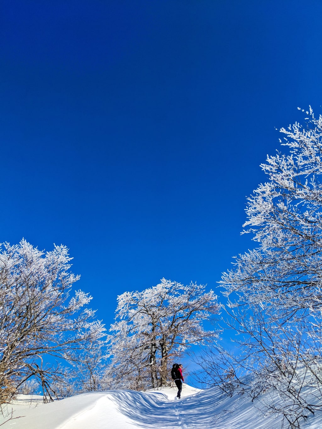
After around 7 km, you need to turn right to get into a very beautiful part of the forest for around 1.5 km. This is the most beautiful part of the trail, everything looks like a winter wonderland. Check it out:
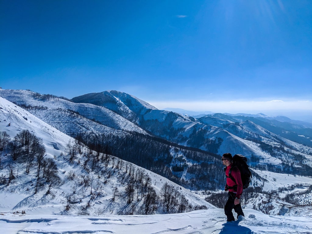
After 1.5 km you will reach the Cardak peak (1’593 m/alt). From Cardak you can reach 2 other peaks, Siljak and Koprivnica. At the top of each peak, you will enjoy 360-degree views from Kopaonik and Bajgora mountains.
There isn’t any water source, therefore take around 2 liters of water. The total distance is 16 km.
Points of interest:
Starting point: Zuta Prla Leposavic, Kosovo
Starting altitude: 826 m/alt
Highest altitude: 1’593 m/alt
Elevation gain: 767 m/alt