For the trail · alpventurer.com/lake-bovilla
Lake Bovilla, wonderful outdoor day trip
Lake Bovilla · Albania
- Time
- about 2 hours
- Difficulty
- Moderate
- Water
- No water source on the mountain; bring at least 1.5 liters
- Parking
- Free
In short
This moderate hike climbs Gamti Mountain above Lake Bovilla, near Tirana. The route is 3.4 km and takes about 2 hours, with 221 m of ascent. There is no water source on the mountain, so bring at least 1.5 litres.
The route
- Distance
- 3.4 km
- Ascent
- +221 m
- Descent
- −210 m
- High point
- 517 m
- Lowest point
- 300 m
A Bovilla Lake: 41.44618, 19.86679▲ Gamti Mountain: 41.44776, 19.86430
Walking time, without breaks
- Relaxed2 h
- Average1 h 35 min
- Fast1 h 15 min
How steep
- Under 8% 0.7 km
- 8 to 15% 1.7 km
- 15 to 25% 0.8 km
- Over 25% 0.2 km
In two parts
- Up to Gamti Mountain 1.5 km · +216 m
- Back down to Bovilla Lake 1.9 km · −214 m
What to pack
Every hike
- Water: about 1 litres (half a litre an hour), all of it: no water on the way
- Food and snacks for the day
- Rain jacket
- A warm layer (fleece or light down)
- Sun cap, sunglasses and sun cream
- Boots or trail shoes with good grip
- Phone with the map offline, and a power bank
- Small first aid kit
- Headlamp, in case it gets late
- Some cash and your ID
For the summit
- Hat and gloves: it is colder and windier at the top
- Walking poles, for the way down
Water and sun
- Swimsuit and a quick-dry towel, if you fancy a dip
The guide
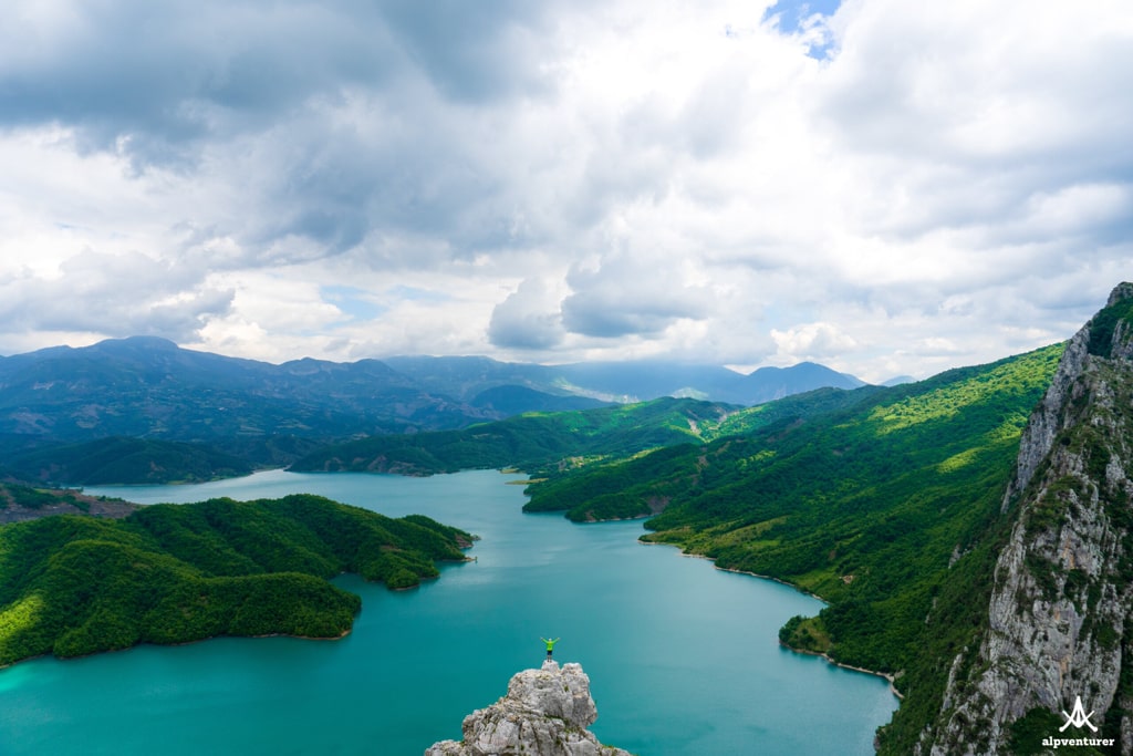
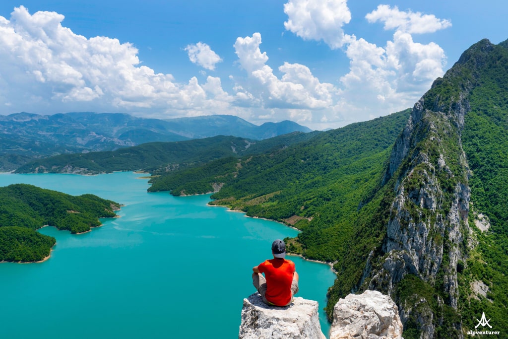
Lake Bovilla, also known as Bovilla Reservoir, is a hidden gem in Albania. It provides most of the drinking water for the capital, Tirana. Located just 15 km from the city, it is easily accessible. You can visit the lake for a picnic or enjoy a hike to the Gamti mountain, where the view of Bovilla Lake is breathtaking. Here is some useful information to plan your visit.
How to get to Lake Bovilla
The best way to reach the lake is through the municipality of Kamëz (Bathore), then by passing through a village called Zall-Herr (a military base is located there). There is a traffic sign where you need to turn right. From that sign, the road is unpaved. You just need to follow this road through Herraj village, and you will arrive at Lake Bovilla. If you want to use Google Maps, search for Bovilla Climbing Area instead of Bovilla Lake or Bovilla Reservoir.
Where to eat
There are no supermarkets near Bovilla. The last minimarket is in Herraj village, but it’s recommended to buy your supplies in the supermarkets in Bathore, Kamëz. Lately, I think that there is a new restaurant opened near Bovilla, but haven’t tried it yet. During the summer, there is a small bar next to the lake where you can enjoy a drink, some grilled food, and maybe go for a swim, as well.
About the hike to Gamti mountain
The hike to Gamti mountain is moderate, and now you have a lot of safe stairs. There is no water source on the mountain, so make sure you have at least 1.5 liters of water with you. The hike takes about 2 hours. When you reach the peak, the view of the watercolor of Bovilla is breathtaking. You can follow the route on the map and download the GPX above.