For the trail · alpventurer.com/jezerca-lakes-valbona
Jezerca lakes from Valbona, a challenging off-trail hike
Jezerca lakes from Valbona · Albania
- Difficulty
- Challenging
- Water
- Last water source in Kukaj village
In short
This challenging off-trail hike goes from Valbona in Albania to the Jezerca lakes. The post gives a distance of 10 km and a high point of 2,150 m at the pass; the last water source is in Kukaj village.
The route
- Distance
- 10.0 km
- Ascent
- +1,188 m
- Descent
- −392 m
- High point
- 2,150 m
- Lowest point
- 902 m
A Valbona: 42.45036, 19.88818B Jezerca lakes: 42.46836, 19.81713▲ The pass (the pyramid): 42.47331, 19.83743
Walking time, without breaks
- Relaxed7 h 30 min
- Average6 h
- Fast4 h 50 min
How steep
- Under 8% 2.5 km
- 8 to 15% 2.5 km
- 15 to 25% 2.6 km
- Over 25% 1.9 km
In two parts
- Up to The pass (the pyramid) 7.0 km · +1,085 m
- Down to Jezerca lakes 2.5 km · −369 m
What to pack
Every hike
- Water: about 2.5 litres (half a litre an hour)
- Rain jacket
- A warm layer (fleece or light down)
- Sun cap, sunglasses and sun cream
- Boots or trail shoes with good grip
- Phone with the map offline, and a power bank
- Small first aid kit
- Headlamp, in case it gets late
- Some cash and your ID
For the summit
- Hat and gloves: it is colder and windier at the top
- Walking poles, for the way down
For a long day
- Lunch, and a snack for every two hours
- Salty snacks or electrolytes
- Blister plasters
Water and sun
- Swimsuit and a quick-dry towel, if you fancy a dip
The guide
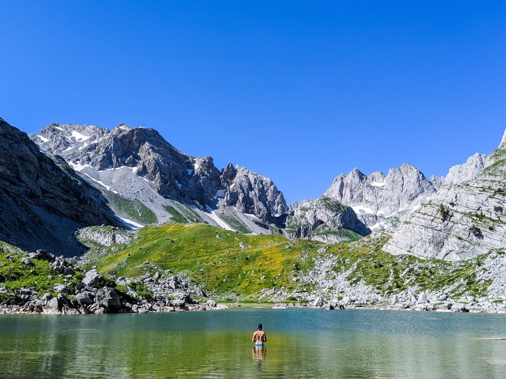
Jezerca lakes (also called as Buni i Jezercës) is an amazing outdoor destination located near the highest peak of the Accursed Mountains (Prokletije), Maja Jezercë. The easiest way to go to the lakes is from Vusanje in Montenegro. But, if you want an off-trail adventure, then you definitely should try going from Valbona Valley National Park in Albania.
How to get to Valbona Valley National Park
Valbona Valley is 22 km from the city called Bajram Curri. Reaching Bajram Curri from Tirana takes around four hours. The bus station in Tirana is in front of Asllan Rusi Sports Center.
Another way to reach Bajram Curri is from Prishtina, Kosovo. First, you go from Prishtina Main Bus Station to Gjakova Bus station and then from Gjakova take the bus to Bajram Curri.
About the Jezerca lakes hike
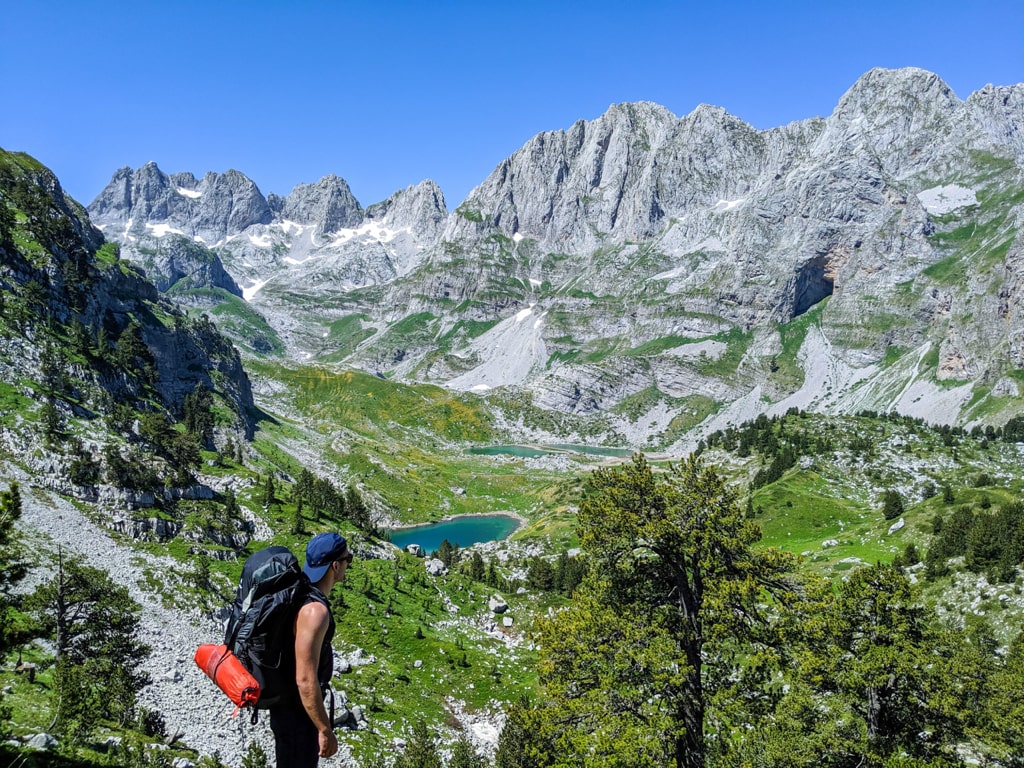
The hike to Jezerca lakes starts from the Valbona National Park, near the school. You take the path to Kukaj village, where you can find the last water source. Then the trail runs through boulders and meadows, eventually entering the beech forest until you reach a small grassy plateau with a mountain hut. From here the hike becomes steeper and the ascent to the northwest leads to the pass at 2150m altitude. After you reach the pass (also called the pyramid) turn left, and start descending into an off-trail. Total distance from the pyramid to Jezerca lakes is around 3 km, and the elevation loss is around 390 m. The total distance from Valbona to the lakes is 10 km.
Points of interest:
Starting point: Valbona Valley National Park.
Starting altitude: 901 m/alt
Elevation gain: 1’188 m
Elevation loss: 392 m