For the trail · alpventurer.com/heimgarten-herzogstand
Heimgarten to Herzogstand Hiking Adventure: Panoramic Peaks and Alpine Beauty”
Heimgarten to Herzogstand Hiking Adventure · Germany
- Time
- Full day
- Difficulty
- Moderate
- Water
- A cascading stream on the descent
In short
This full-day hike from Walchensee in Bavaria crosses Heimgarten and Herzogstand, reaching 1,790 m. The moderate route covers 14.4 km, with 1,250 m of ascent and 1,172 m of descent. It includes a ridge walk, and a cascading stream is mentioned on the descent.
The route
- Distance
- 14.4 km
- Ascent
- +1,250 m
- Descent
- −1,172 m
- High point
- 1,790 m
- Lowest point
- 808 m
A Walchensee: 47.59614, 11.31704▲ Heimgarten: 47.61287, 11.28061
Walking time, without breaks
- Relaxed10 h 25 min
- Average8 h 20 min
- Fast6 h 40 min
How steep
- Under 8% 2.9 km
- 8 to 15% 3.4 km
- 15 to 25% 5.7 km
- Over 25% 2.4 km
In two parts
- Up to Heimgarten 6.4 km · +1,037 m
- Back down to Valley station of the Herzogstandbahn 7.9 km · −1,122 m
What to pack
Every hike
- Water: about 3 litres (half a litre an hour)
- Rain jacket
- A warm layer (fleece or light down)
- Sun cap, sunglasses and sun cream
- Boots or trail shoes with good grip
- Phone with the map offline, and a power bank
- Small first aid kit
- Headlamp, in case it gets late
- Some cash and your ID
For the summit
- Hat and gloves: it is colder and windier at the top
- Walking poles, for the way down
For a long day
- Lunch, and a snack for every two hours
- Salty snacks or electrolytes
- Blister plasters
Water and sun
- Swimsuit and a quick-dry towel, if you fancy a dip
The guide
Embark on a breathtaking alpine journey with a full-day hiking trip to the majestic peaks of Heimgarten (1790 m) and Herzogstand (1731 m). This moderately challenging mountain hike promises stunning panoramic vistas, a thrilling ridge walk, and a glimpse into the natural wonders of the Bavarian Alps.

How to get to Herzogstand
To get to Herzogstand, if you are traveling by car from Munich, you can leave the Garmisch autobahn at the Murnau/Kochel junction and continue on the B11 to Walchensee via Kochel. Once you arrive, you can park your car at the valley station of the Herzogstandbahn. Alternatively, you can take the train from Munich central station or Tutzing to Kochel am See. You can take bus line 9608 from the Kochel train station to the Walchensee Herzogstandbahn stop. You can check the timetable and book your tickets in advance.
About the Heimgarten and Herzogstand hike
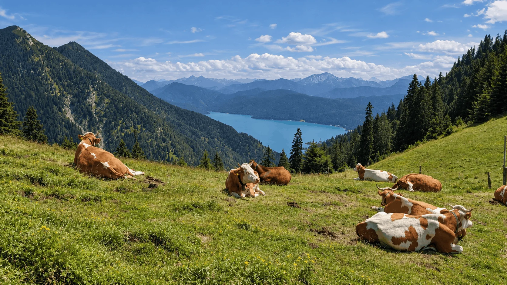
Begin your adventure by following the well-marked trail from Walchensee (800 m) to the summit of Heimgarten. The path gradually ascends, treating you to captivating glimpses of the shimmering Walchensee below. As you climb higher, the air gets crisper, and the beauty of the surrounding landscape unfolds.
Upon reaching the summit of Heimgarten, you’ll be rewarded with a breathtaking panorama. The Herzogstand and its inviting Berggasthaus stand tall in the distance, beckoning you to continue your journey. Enjoy a refreshing break at the Heimgartenhütte, soaking in the sun-drenched terrace and replenishing your energy.
The ridge between Heimgarten and Herzogstand offers a thrilling yet safe experience. The sure-footedness required for certain sections adds a touch of excitement to the hike. The trail, adorned with secure handrails, leads you across this high-altitude path, granting unparalleled views of Murnauer Moos, Staffelsee, and beyond.
The descent from Herzogstand is just as enchanting as the ascent. The path winds through the mountain forest, offering glimpses of a cascading stream and providing a serene atmosphere for reflection. As you reach the valley station of the Herzogstandbahn, a sense of accomplishment fills your heart.
Heimgarten and Herzogstand stand as a testament to the natural beauty of Bavaria’s alpine treasures. This full-day hiking adventure offers a perfect blend of exhilarating trails, captivating vistas, and moments of serenity.
Points of interest:
Starting point: Walchensee
Starting altitude: 810 m/alt
Highest altitude: 1’790 m/alt
Elevation gain: 1’250 m