For the trail · alpventurer.com/grebaje-valley
Grebaje valley, Prokletije National Park, an outdoor paradise
Grebaje valley · Montenegro
- Water
- No source along the hike; carry around 3 liters
In short
The 9.3 km hike starts in Grebaje Valley, Montenegro, and reaches Volušnica and Talijanka, with a high point of 2,056 m. It has 922 m of ascent and 901 m of descent. There is no water source along the route, so carry around 3 liters.
The route
- Distance
- 9.3 km
- Ascent
- +922 m
- Descent
- −901 m
- High point
- 2,056 m
- Lowest point
- 1,149 m
A Grebaje: 42.52135, 19.78617▲ Talijanka: 42.51606, 19.76024
Walking time, without breaks
- Relaxed7 h 35 min
- Average6 h
- Fast4 h 50 min
How steep
- Under 8% 0.5 km
- 8 to 15% 2.4 km
- 15 to 25% 4.2 km
- Over 25% 2.2 km
In two parts
- Up to Talijanka 4.7 km · +921 m
- Back down to Grebaje 4.6 km · −869 m
What to pack
Every hike
- Water: about 2 litres (half a litre an hour), all of it: no water on the way
- Food and snacks for the day
- Rain jacket
- A warm layer (fleece or light down)
- Sun cap, sunglasses and sun cream
- Boots or trail shoes with good grip
- Phone with the map offline, and a power bank
- Small first aid kit
- Headlamp, in case it gets late
- Some cash and your ID
For the summit
- Hat and gloves: it is colder and windier at the top
- Walking poles, for the way down
The guide
Grebaje Valley set in the heart of Prokletije (Accursed Mountains) is a hiking paradise located in southwest Montenegro. There you can find very beautiful mountains with gorgeous views like mount Volušnica and mount Taljanka (in the border between Albania and Montenegro) that have an amazing view of the Karanfili massif, or Karanfili peaks, Očnjak, and Vezirova Brada pass.
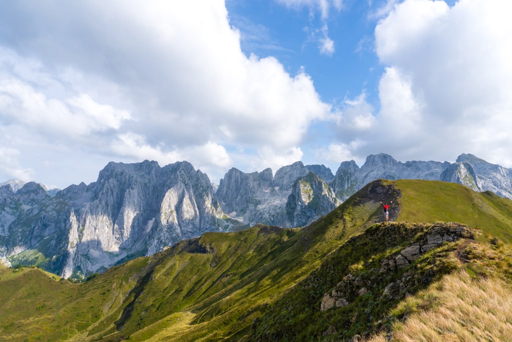
How to get to Grebaje Valley
Grebaje Valley is located around 155 km from the capital of Montenegro, Podgorica. You can drive there by car, or take the bus from Podgorica to Plav, and then take a taxi from Plav to Gusinje. From Gusinje you can walk for around 4 km to Grebaje.
Another way to go to Grebaje is hiking from Lepushe. This is one of the most beautiful hikes in Albania and Montenegro, where you will enjoy the views of the beautiful Karanfili massif.
About the Grebaje Valley
In Grebaje National Park you can find some restaurants and guesthouses that serve delicious local food. We had the chance to meet an Albanian family from Vusanje, that lives in a mountain hut during the summertime. They were very friendly and their food was 100% bio. We tried the blueberry pie, which was very delicious.
The trails in this park are very well signed. You need to pay a fee for entrance to this National Park. The prices are 1€/day/person and 3€ per tent.
Hike to mount Volušnica and mount Taljanka
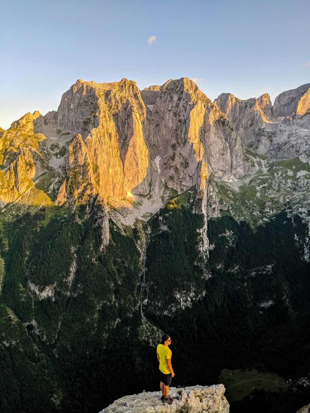
The hike starts from Grebaje, and you will hike through a beautiful forest. After around 4 km, you will have the chance to reach mount Volušnica (1’897 m/alt) where you can see the best views of this trail. Check out the picture:
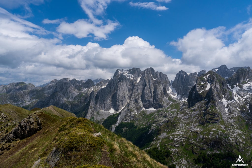
I think this is the best spot for camping.
After this, through the ridge, you may go to Talijanka peak, which has great views as well, and its elevation is 2’056 m/alt. There is no water source along this hike, so make sure to have around 3 liters of water. From Talijanka, you can go to Lepusha in Albania, or go back to Grebaje.
Check out the trail from Grebaje to Volušnica: