For the trail · alpventurer.com/biovizhde-kourouna
Discovering the Beauty of the Nemercka Range: Biovizhdë – Kourouna Peak Hike
Discovering the Beauty of the Nemercka R… · Albania
- Difficulty
- Challenging
- Parking
- Free
In short
The challenging hike to Kourouna Peak starts in Biovizhdë, in Albania’s Përmet area. The route covers 10.7 km with 1,400 m of ascent and reaches a high point of 1,843 m. The guide explains access to the village and notes that winter snow may require an ice axe and crampons.
The route
- Distance
- 10.7 km
- Ascent
- +1,400 m
- Descent
- −1,121 m
- High point
- 1,843 m
- Lowest point
- 681 m
A Biovizhdë: 40.09861, 20.53695B Finish: 40.09217, 20.52841▲ Kourouna Peak: 40.08265, 20.51083
Walking time, without breaks
- Relaxed10 h 20 min
- Average8 h 15 min
- Fast6 h 35 min
How steep
- Under 8% 2.2 km
- 8 to 15% 2.2 km
- 15 to 25% 1.9 km
- Over 25% 4.4 km
In two parts
- Up to Kourouna Peak 6.4 km · +1,286 m
- Down to the finish 4.4 km · −1,004 m
What to pack
Every hike
- Water: about 3 litres (half a litre an hour)
- Rain jacket
- A warm layer (fleece or light down)
- Sun cap, sunglasses and sun cream
- Boots or trail shoes with good grip
- Phone with the map offline, and a power bank
- Small first aid kit
- Headlamp, in case it gets late
- Some cash and your ID
For the summit
- Hat and gloves: it is colder and windier at the top
- Walking poles, for the way down
For a long day
- Lunch, and a snack for every two hours
- Salty snacks or electrolytes
- Blister plasters
Snow and ice
- Microspikes or crampons, as the snow needs
- Gaiters
- Insulated jacket and spare gloves
- A hot drink in a flask
- Check the avalanche bulletin before you go
The guide
The Biovizhdë – Kourouna Peak hike is a winter wonderland adventure that offers some of the most breathtaking views in the Permet area. In my opinion, this is one of the most beautiful hikes in the Permet area. Also, this trail is part of a tourism development project in Permet.
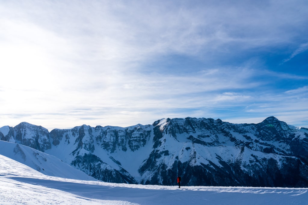
How to get to Biovizhde
To get to Biovizhde, you’ll need to take the main road towards Permet. From there, it’s approximately 3 km to the village of Biovizhde, which is only accessible by high clearance four-wheel drive. If you’re not comfortable driving a four-wheel drive, you can hire a local driver to take you to the village. It’s also worth noting that the road to Biovizhde can be rough, so ensure your vehicle is in good condition before attempting the drive.
About the Kourouna Peak Hike
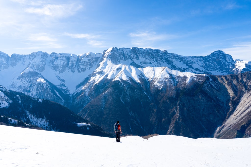
The Kourouna Peak hike starts at the village of Biovizhde and offers a challenging but rewarding experience for hikers. The trail climbs up gently through a beautiful forest, and as you exit the forest, you’ll be greeted by stunning views of the Nemercka mountain range. From there, the hike continues along the ridge towards the Kourouna peak, which stands at 1’852m/alt and offers an unforgettable view of the surrounding mountains in Albania and Greece. During winter, you may need an ice axe and crampons due to the snow, so make sure you’re prepared with the right gear and equipment. The descent from the peak takes you to the other side of the border, where you’ll be able to enjoy even more beautiful views of the surrounding mountains. Overall, the Biovizhdë – Kourouna Peak hike is an adventure that you won’t soon forget and is highly recommended for anyone who loves a good challenge and wants to experience some of the most stunning views in the Permet area.
Here are some quick facts about the Biovizhdë – Kourouna Peak Hike:
Starting point: Biovizhde, Permet
Starting altitude: 680 m/alt
Highest altitude: 1’843 m/alt
Elevation gain: 1’400 m/alt
Here is the trail of this hike: